Byfield National Park Solo Explore Trip in Queensland Australia

  • HTML tutorial

RobMac

Rank III
Launch Member

Enthusiast III

646
Brisbane, Queensland Australia
First Name
Rob
Last Name
Mac
Member #

23488

Byfield National Park Solo Explore Trip Report

Total Trip Distance: 2579kms
Avg Driving Speed: 55kph
Economy:11.1ltrs/100kms

LINK to all Photos:Photo & Video Album of Trip
LINK to Tracklog:Tracklog of Trip

Day-1:
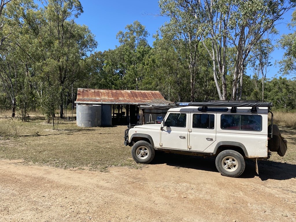
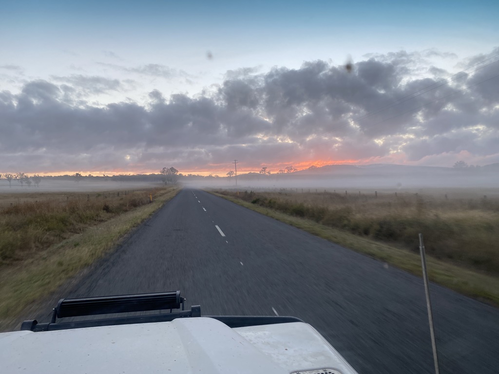
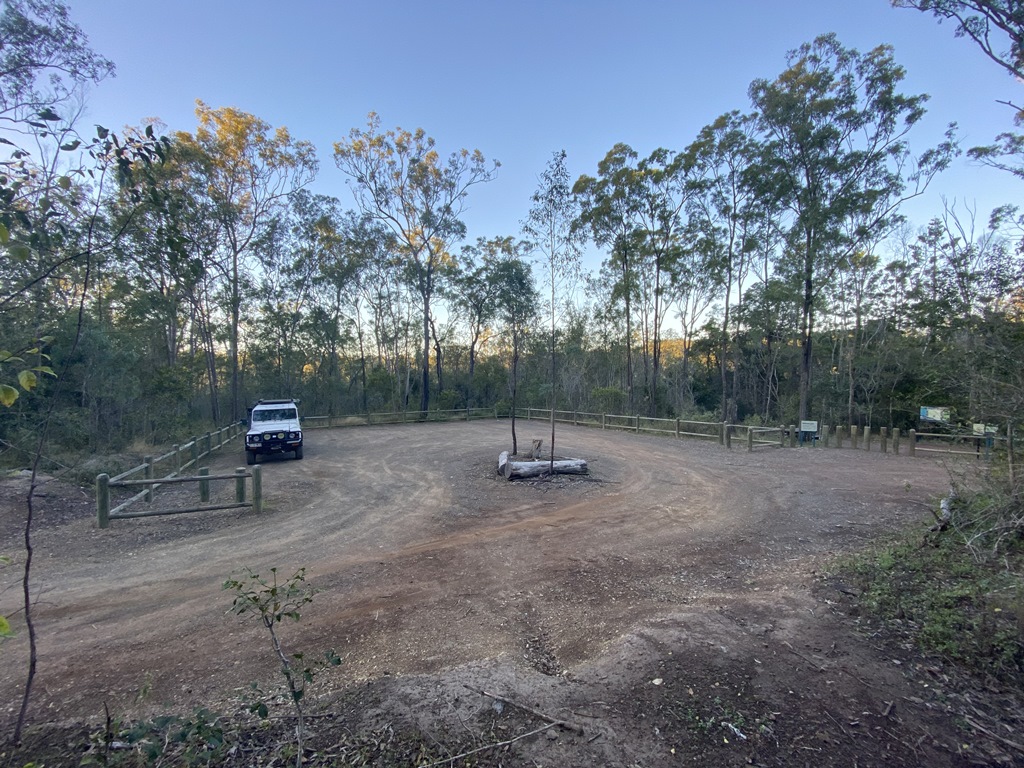
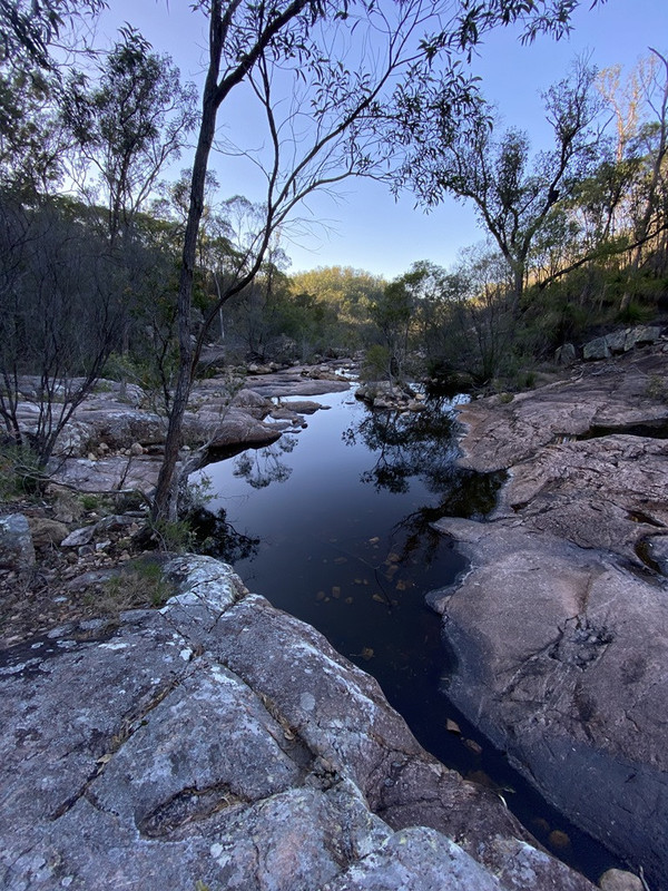
Well, I finished my Afternoon Shift @ 10pm and headed off towards what I hoped to be my Camp for my 1st night - Waterfall Creek Carpark SW of Biggenden. This turned out to be an easy drive w/o any issues with me reaching my camp for the night at around 1.15am
Distance Travelled: 280kms
Driving Time: 3h03m

Day-2:
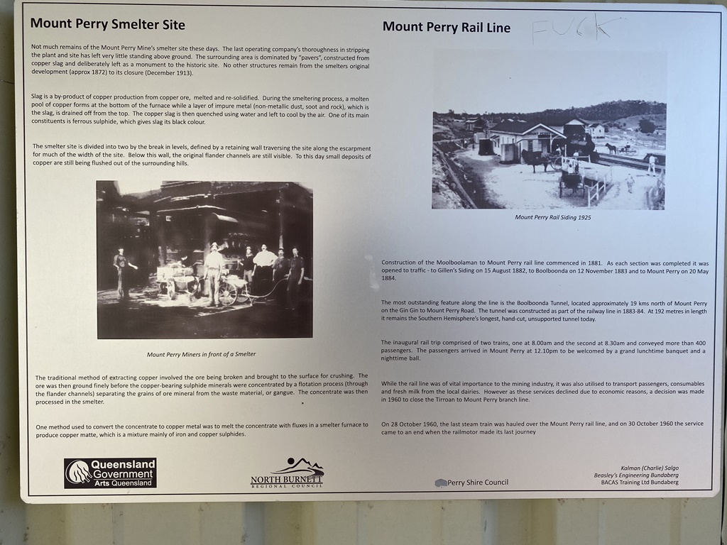
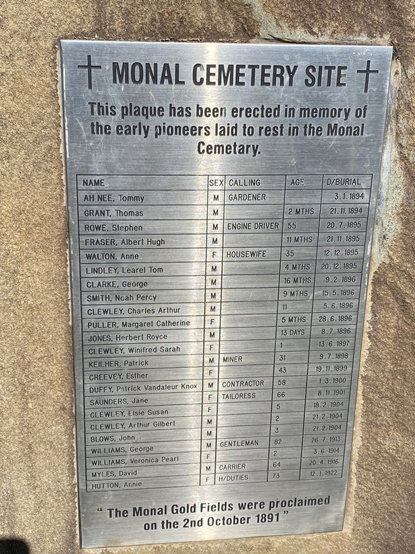
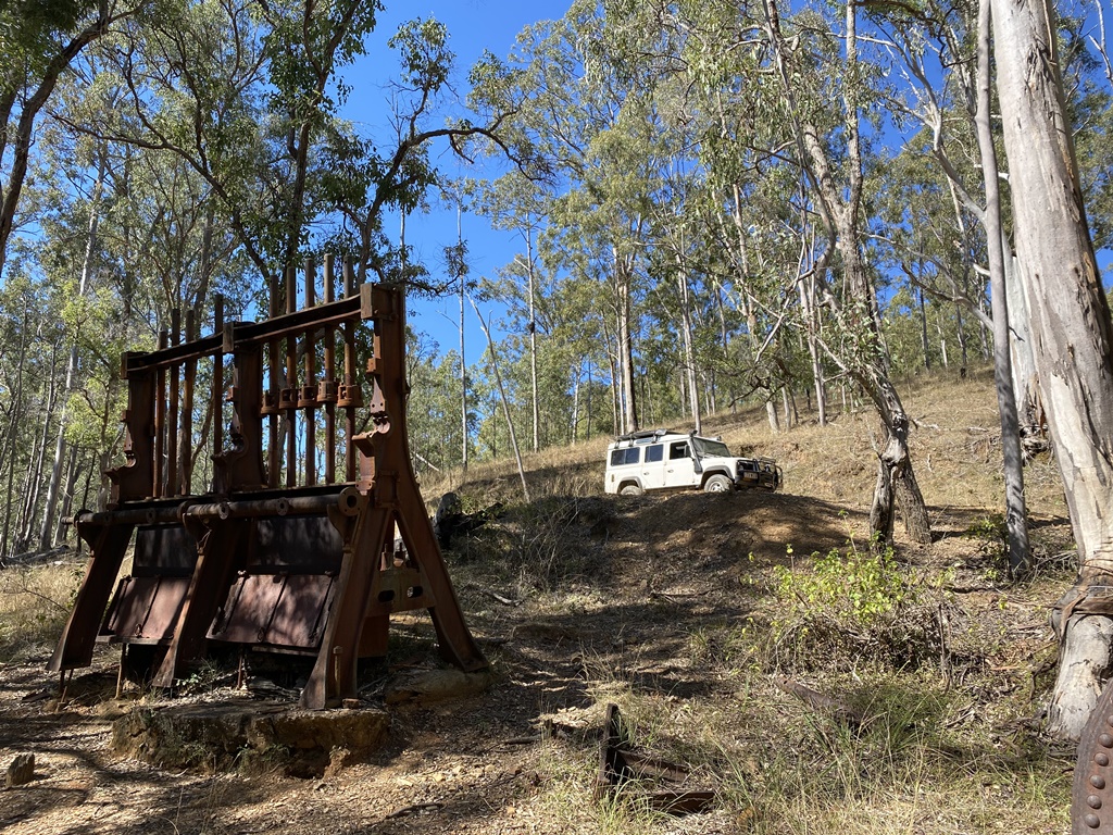
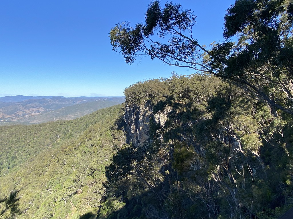
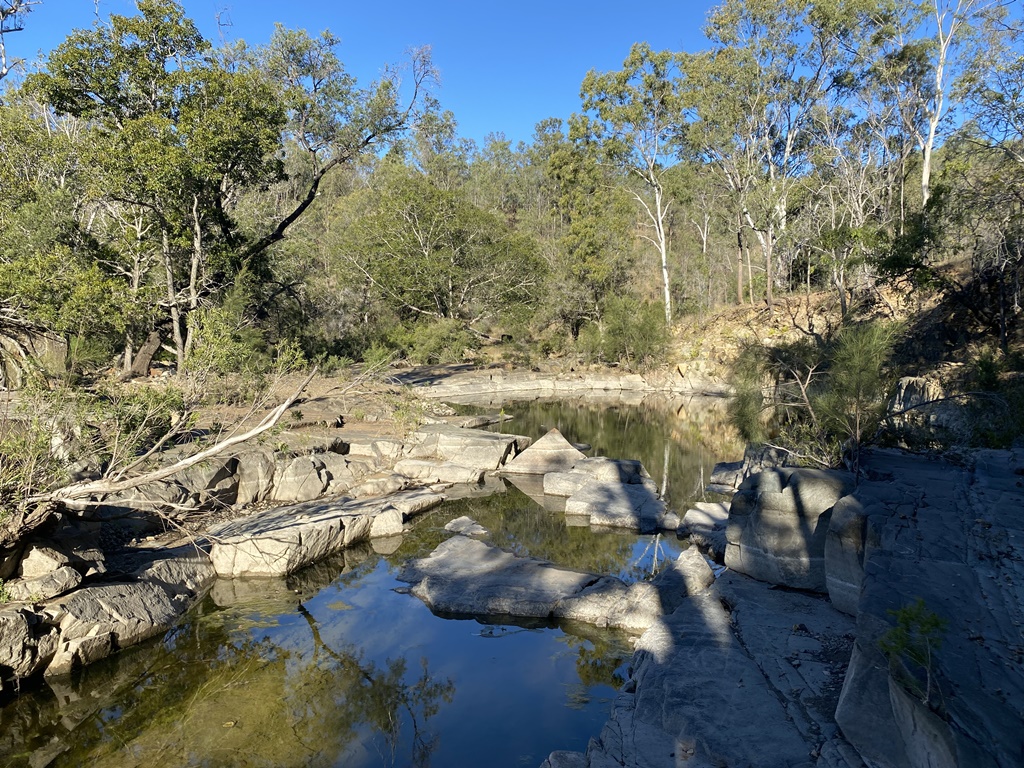
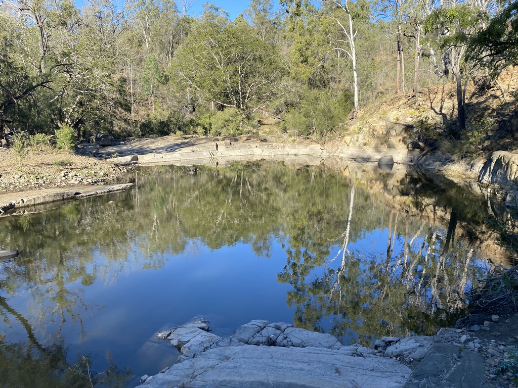
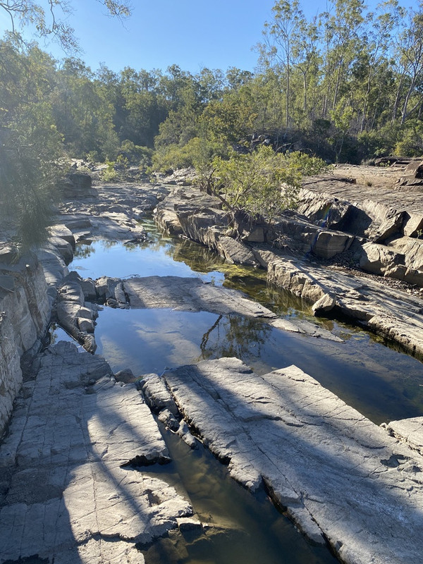
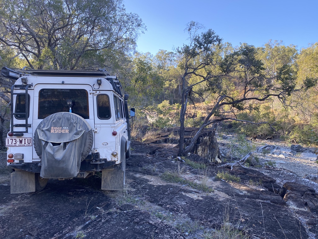
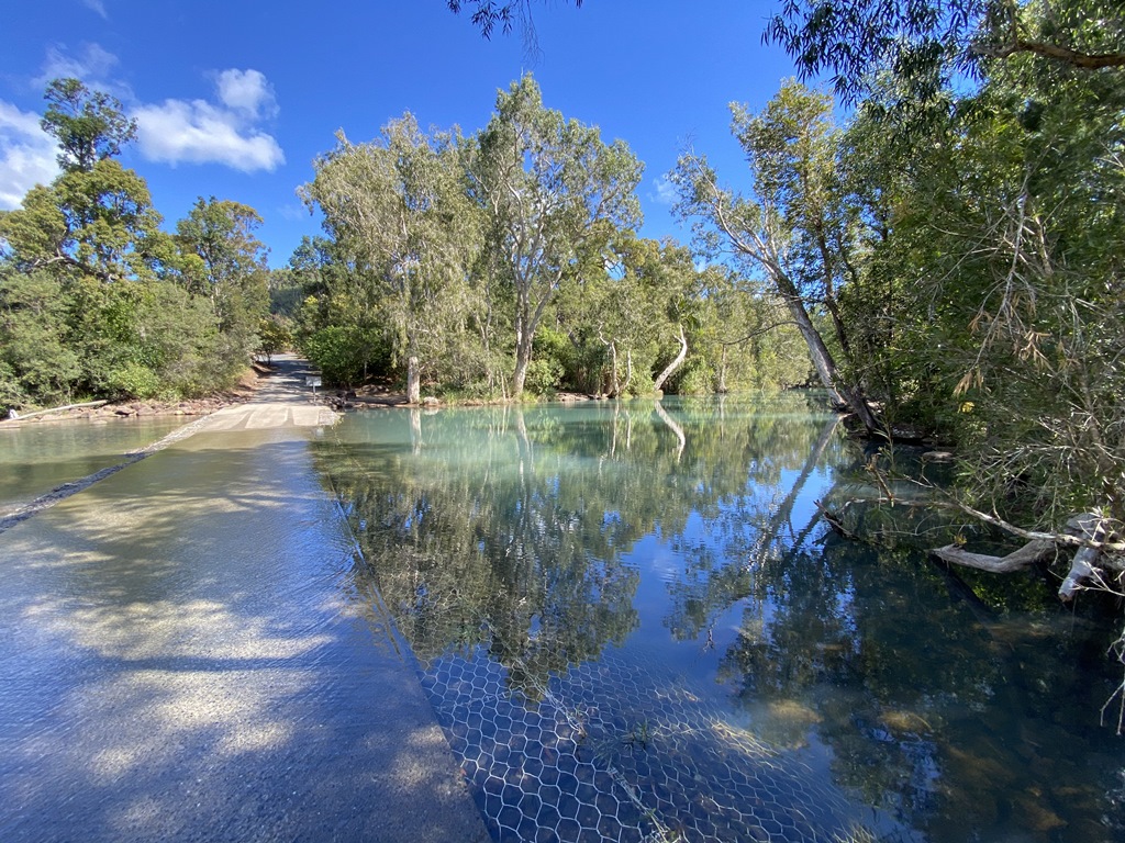
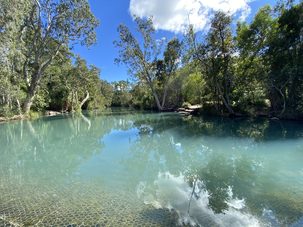
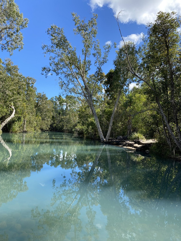
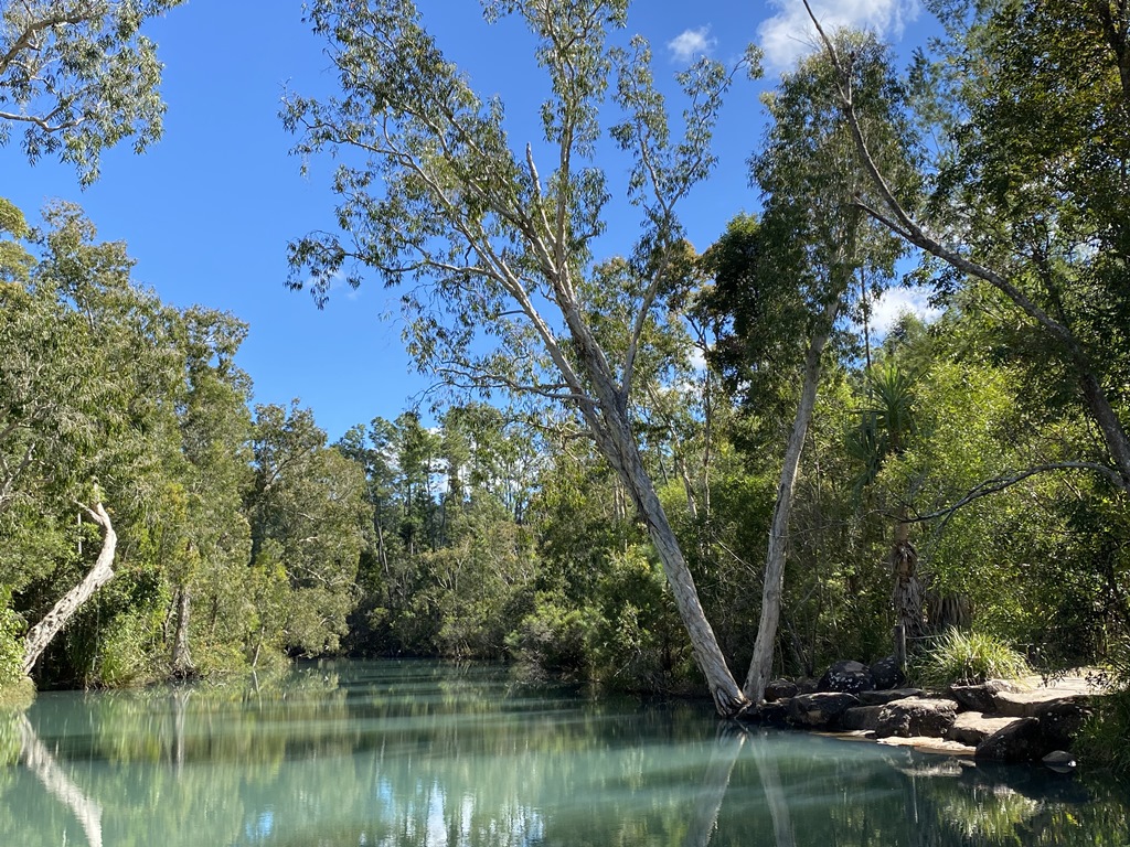
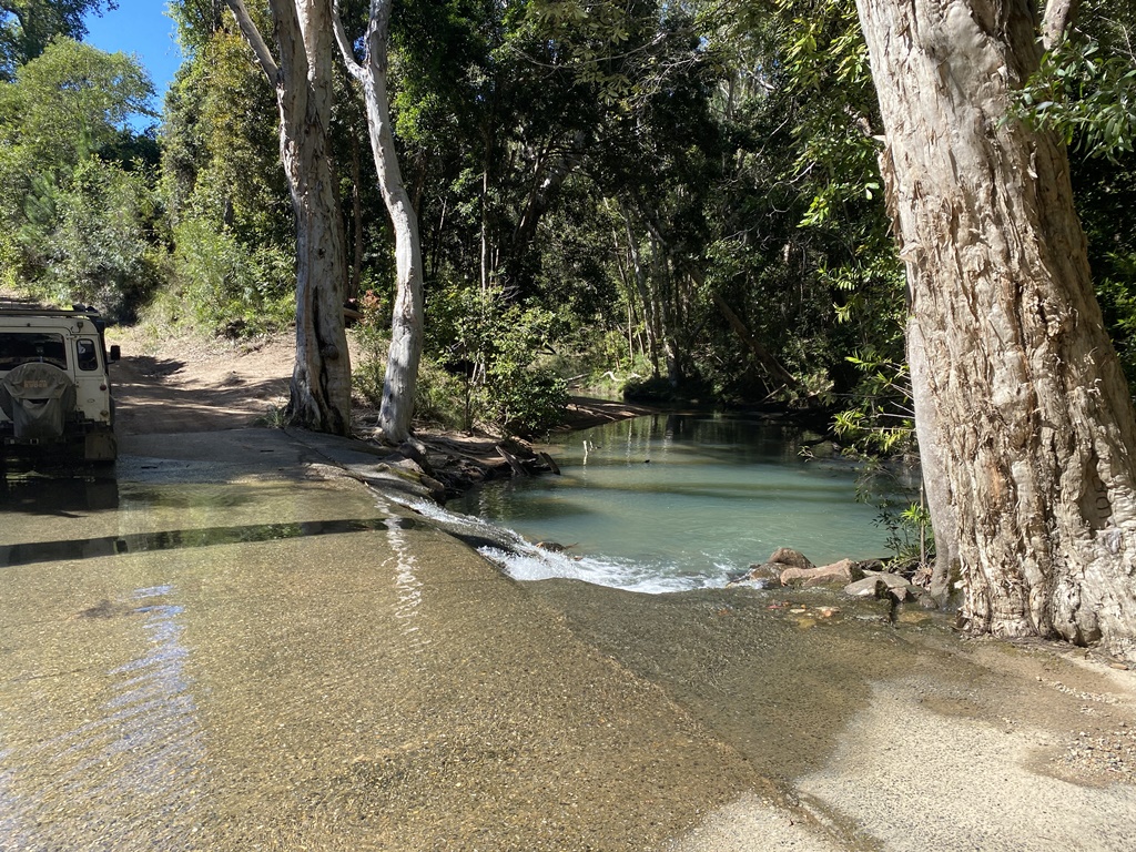
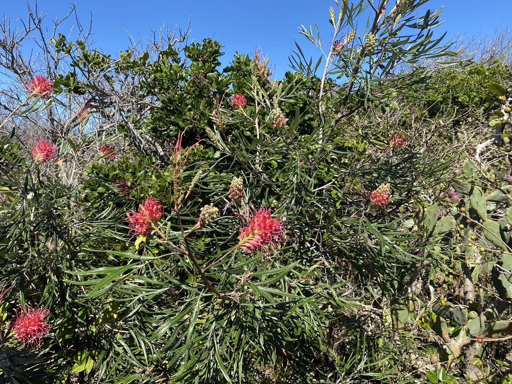
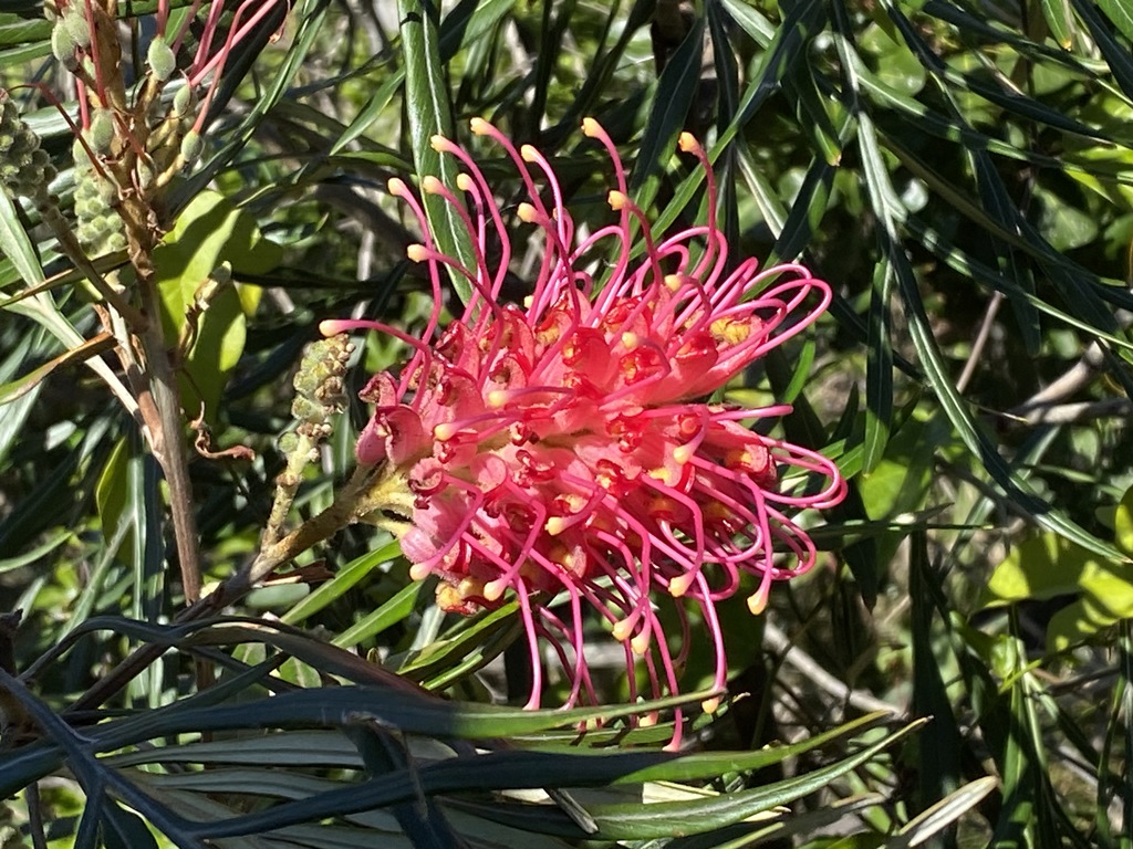
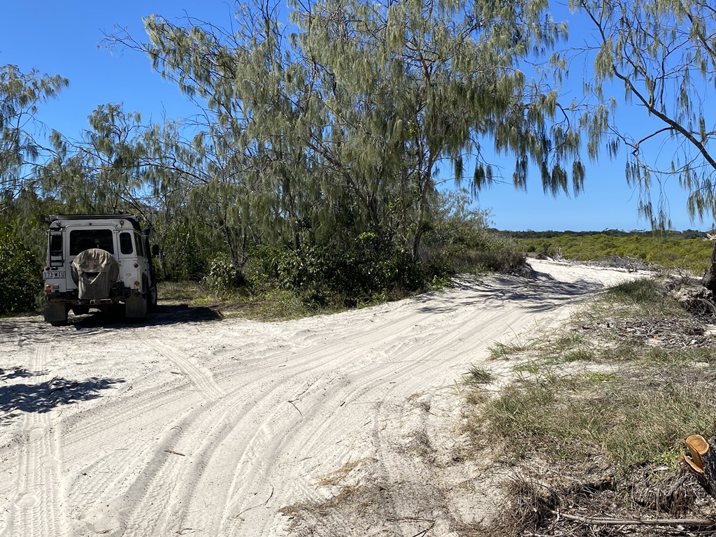
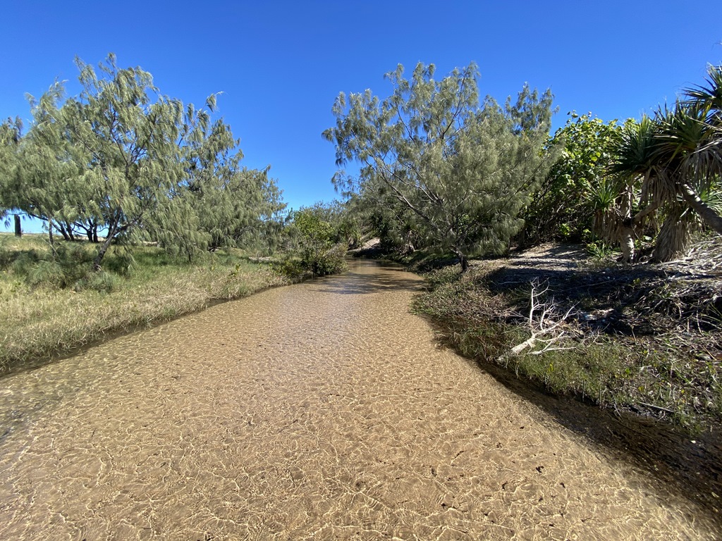
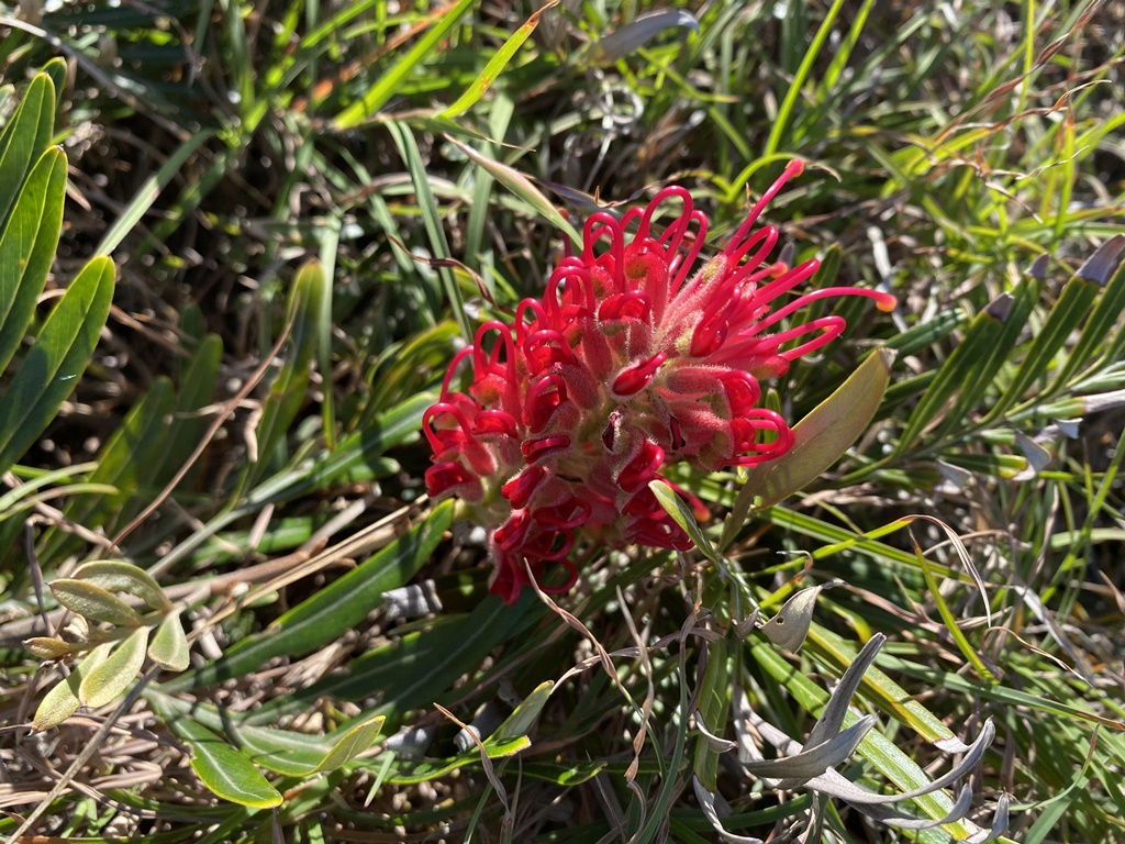
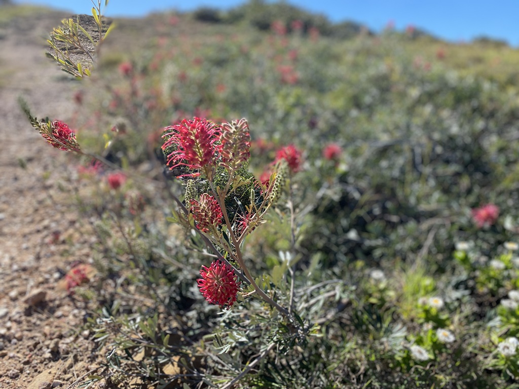
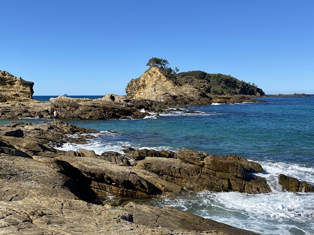
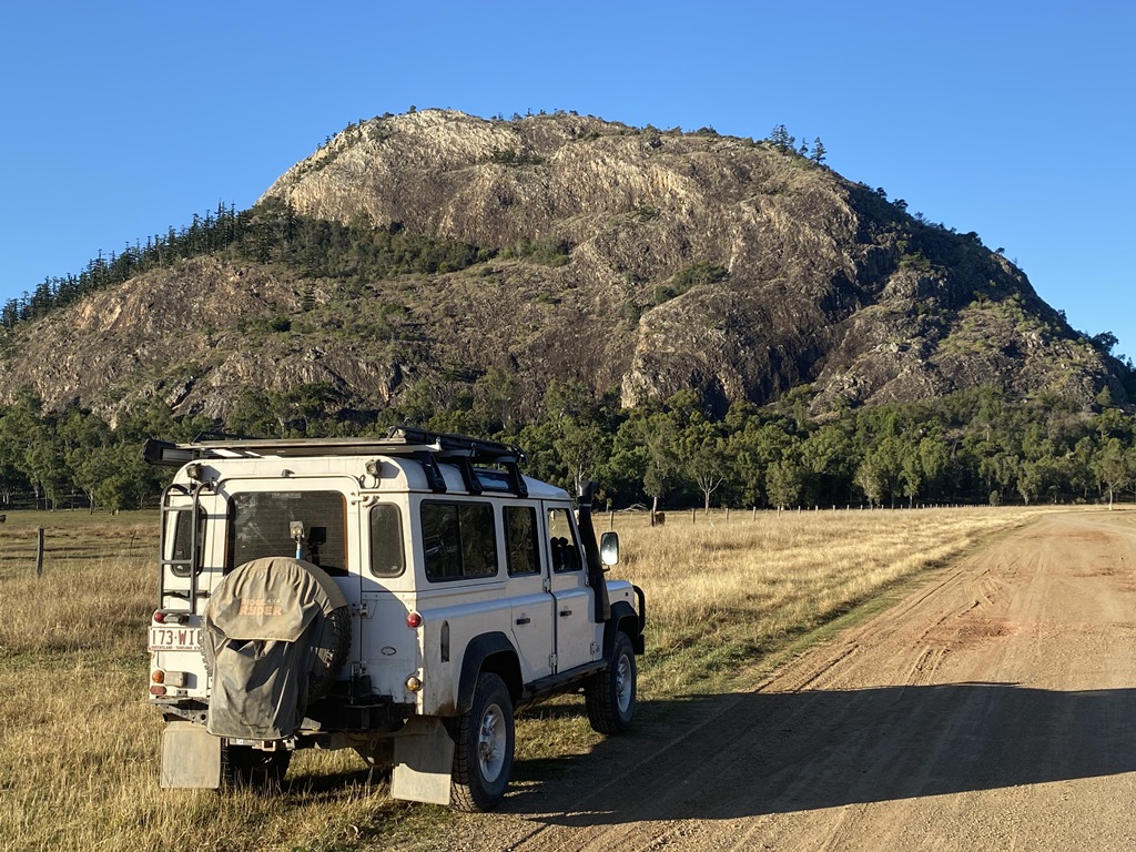
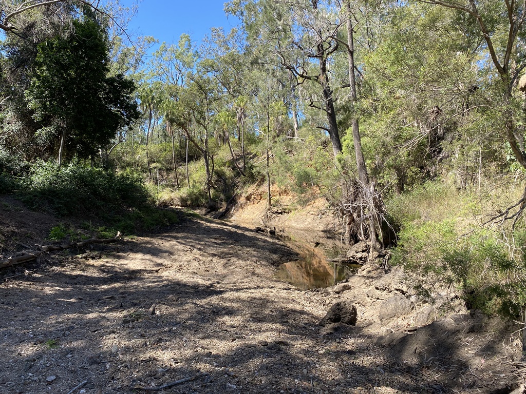
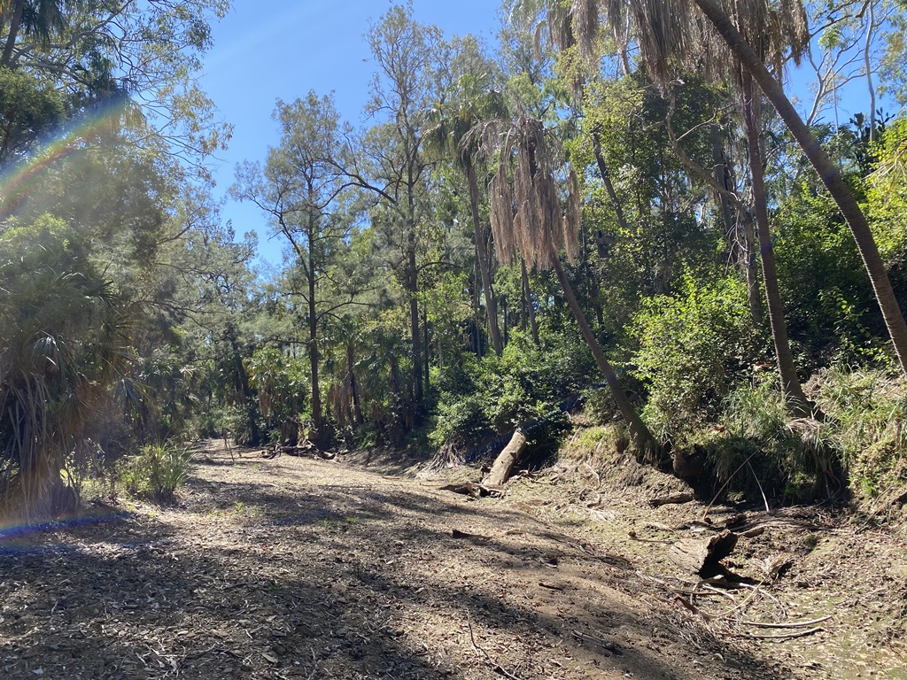
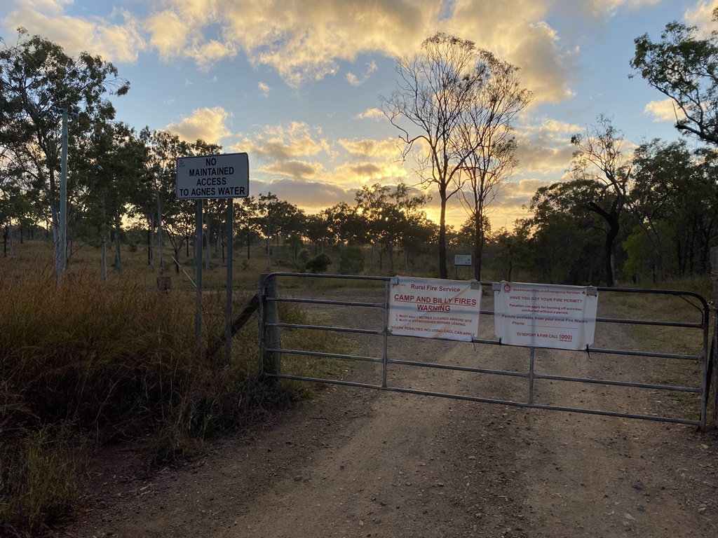
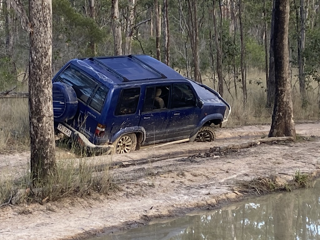
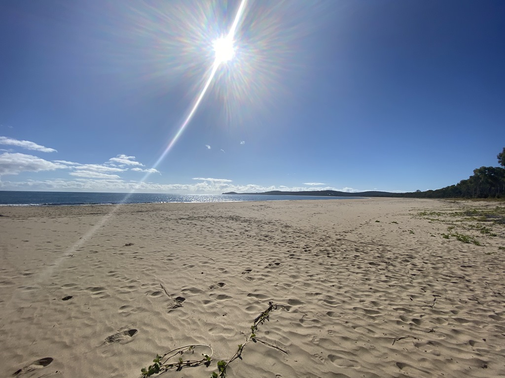
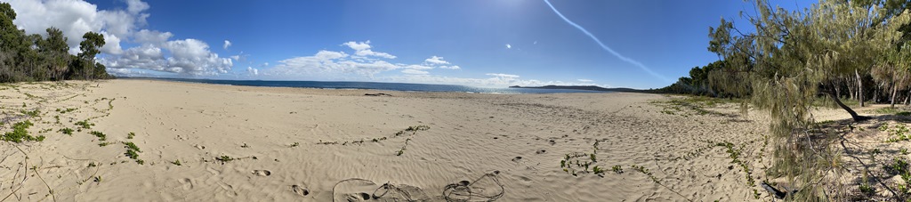
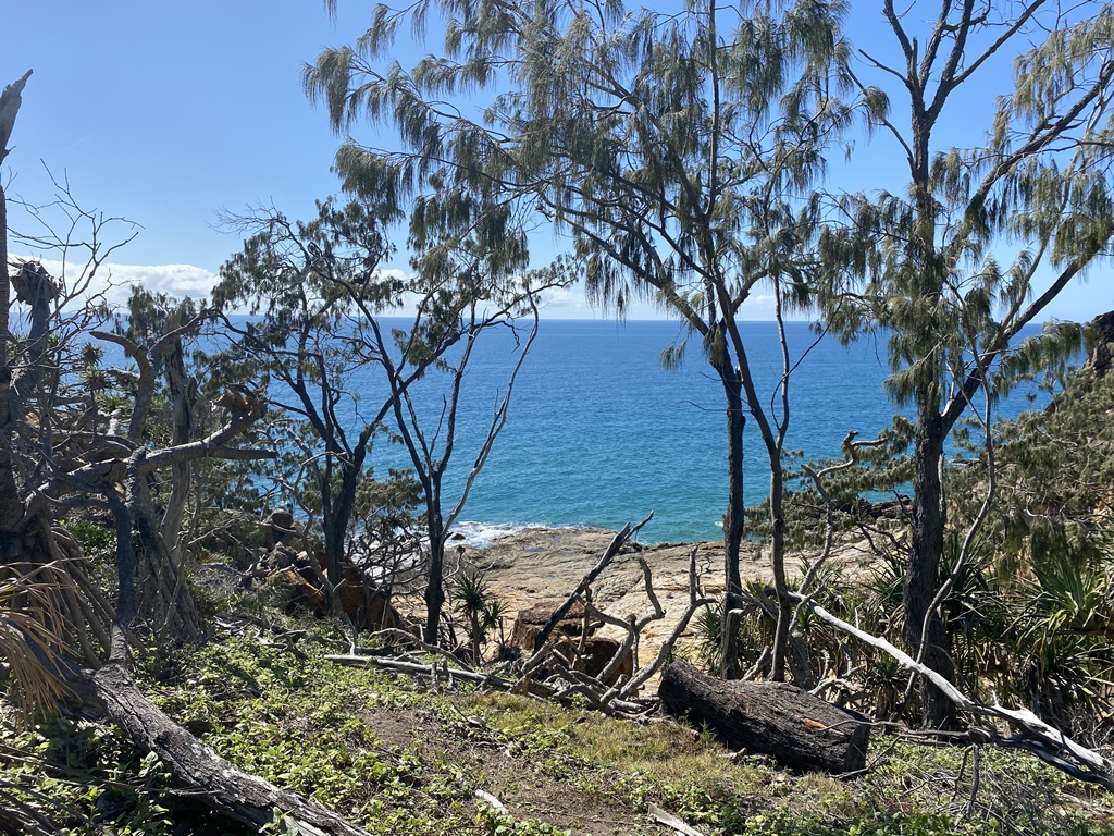
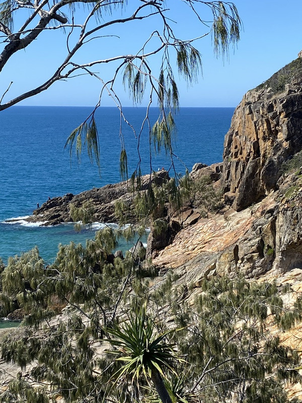
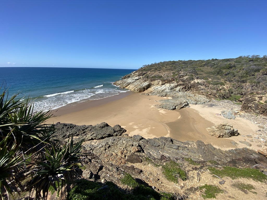
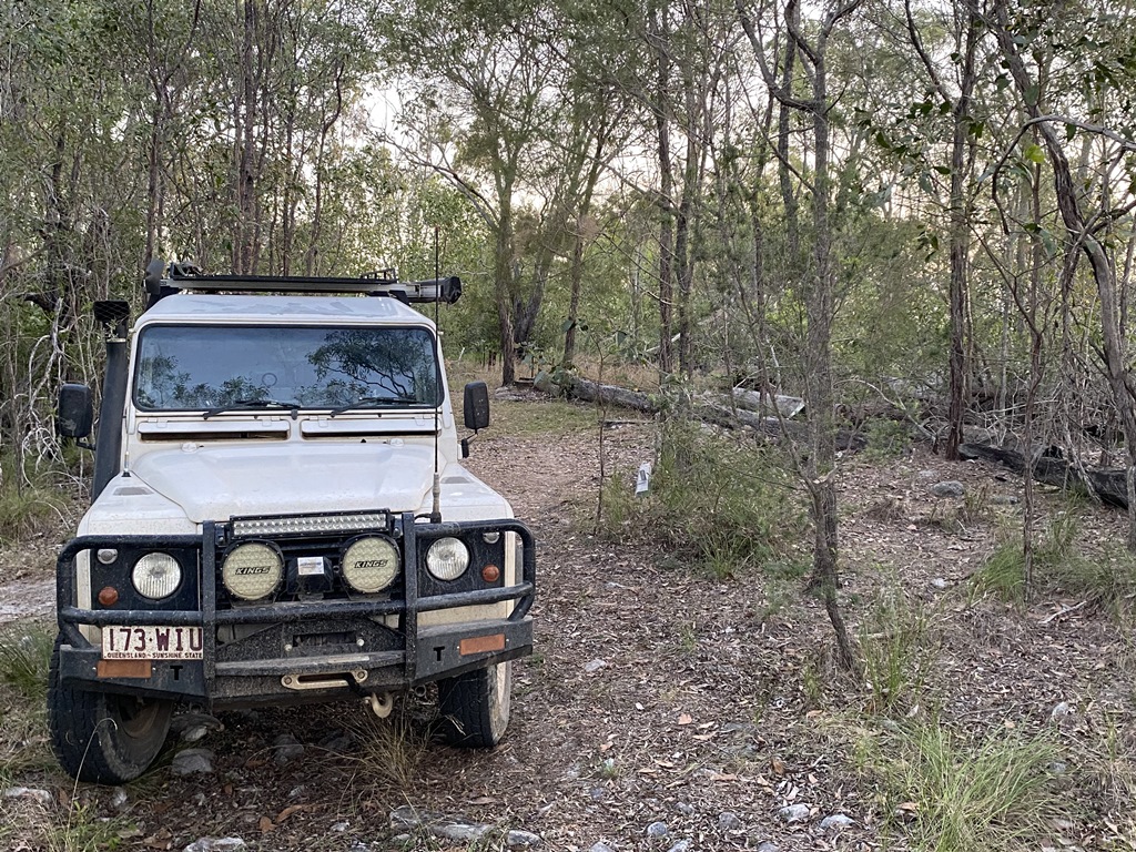
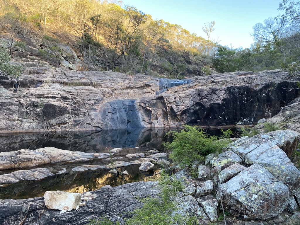
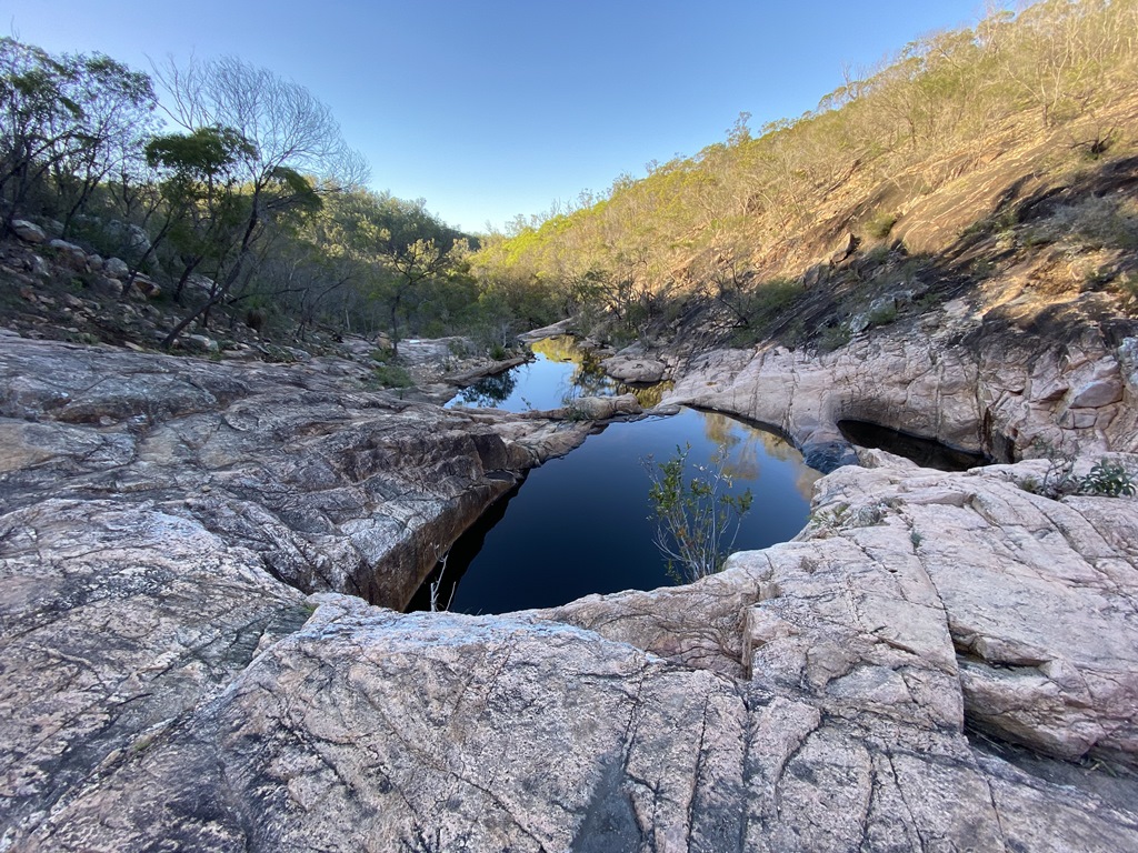
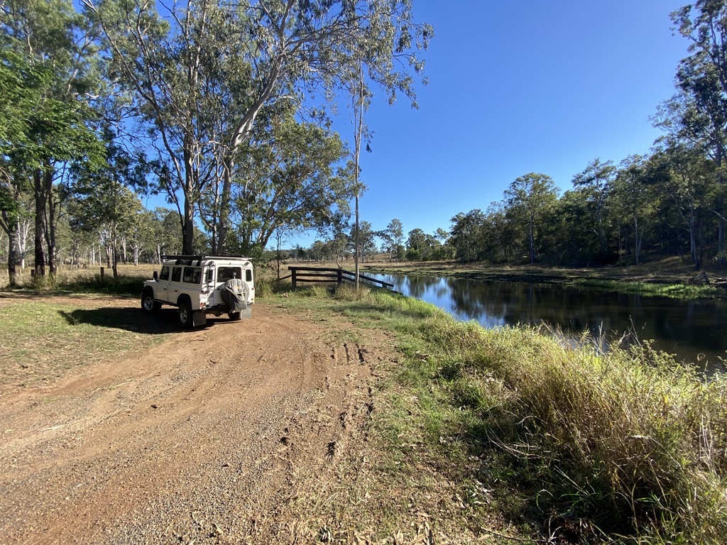
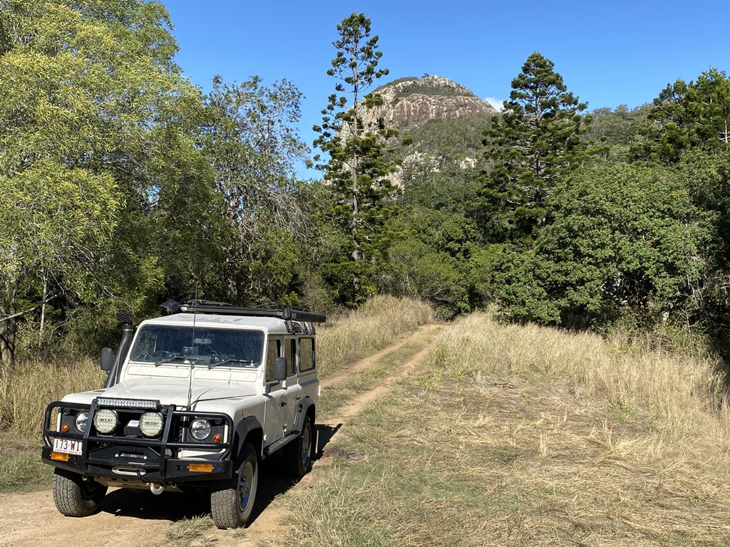
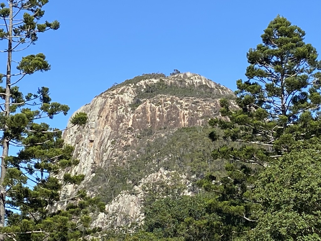
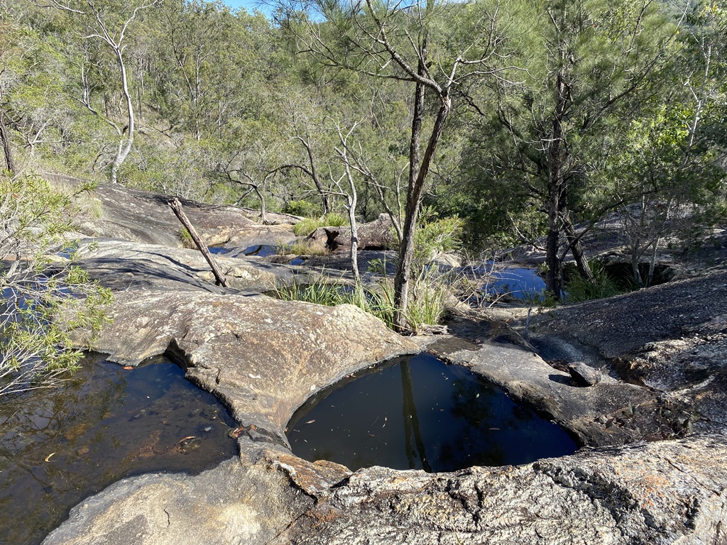
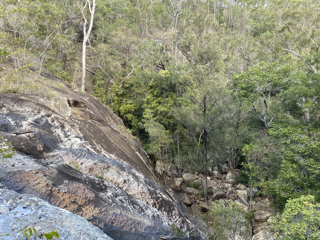
Up early and off to walk the path to the Waterfall Creek Falls and after having a good look around, it was time to head back and head off to my next areas that I wanted to check out - Coongara Rock and Coongara Falls. Upon reaching Biggenden I headed west out and off-road to check out Coongara Rock and Coongara Falls. It's a dirt road all the way out once u turn off the Hwy and I checked out the Rock first. I wasn't planning on walking to the top, I was only just checking out the carpark, etc. for a possible future return. From here it was to the Falls where the last few hundred metres was by foot. This is where I came face to face with my 1st snake encounter - Red-belly Black snake. I gave him right of way and continued on to check out the falls. As usual, no water following at all but still nice to check it out all the same. Back at the car I checked the GPS out and noticed a southern track was marked on the GPS so I thought it was worth a look as I hate having to backtrack down the same track to exit places.
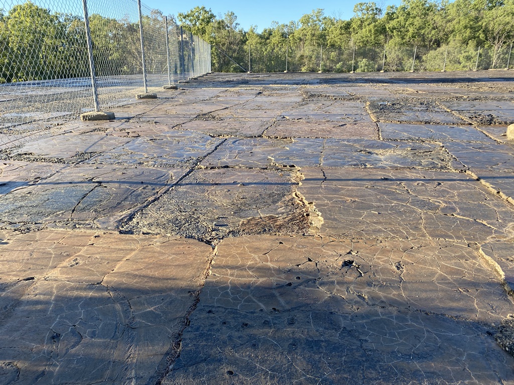
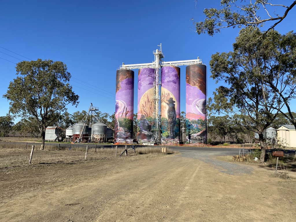
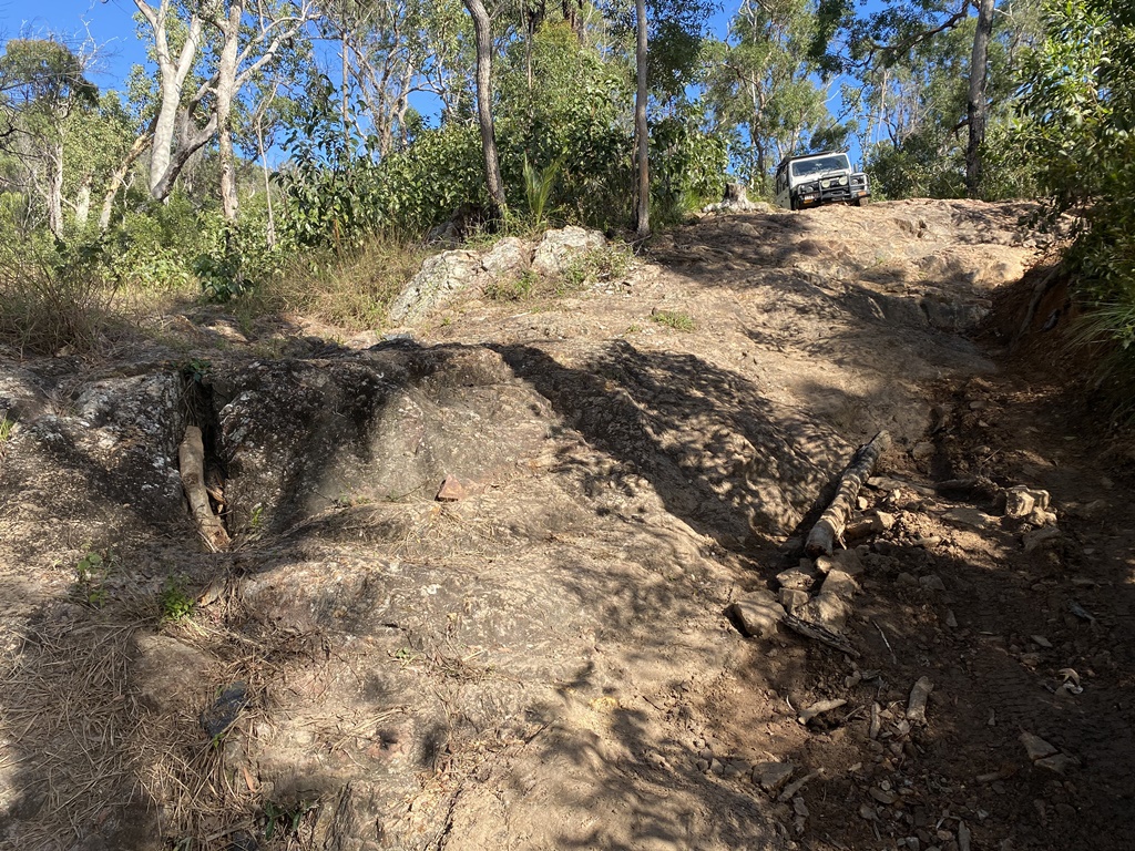
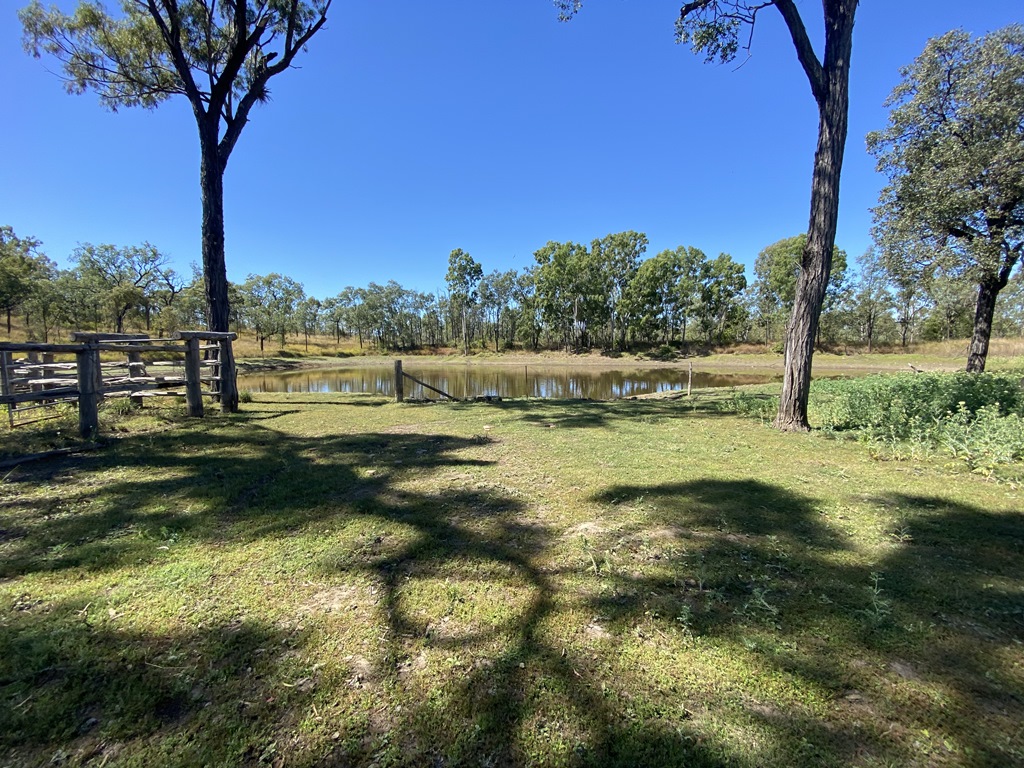
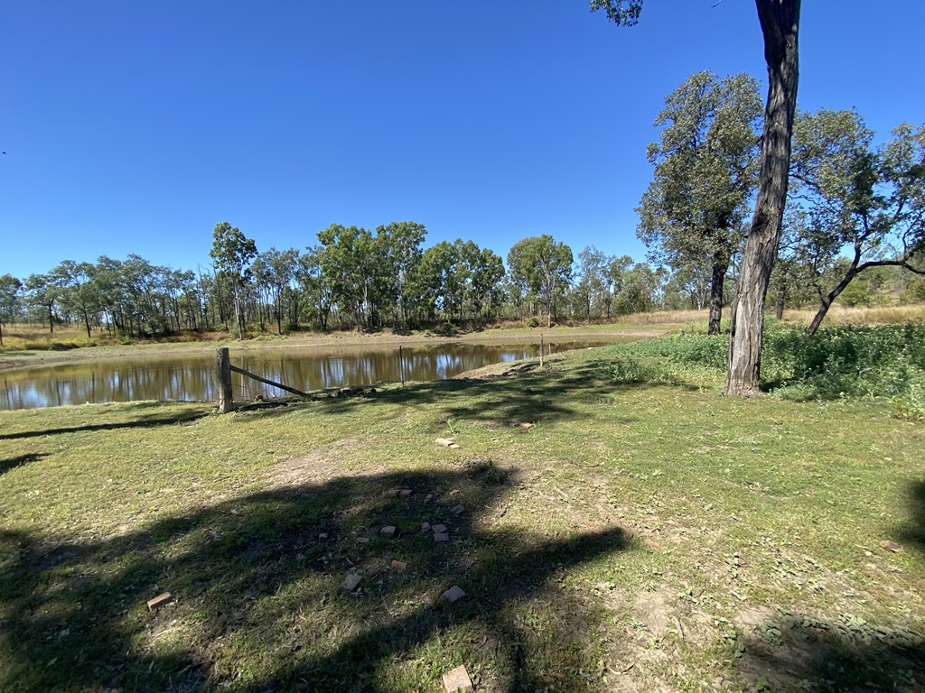
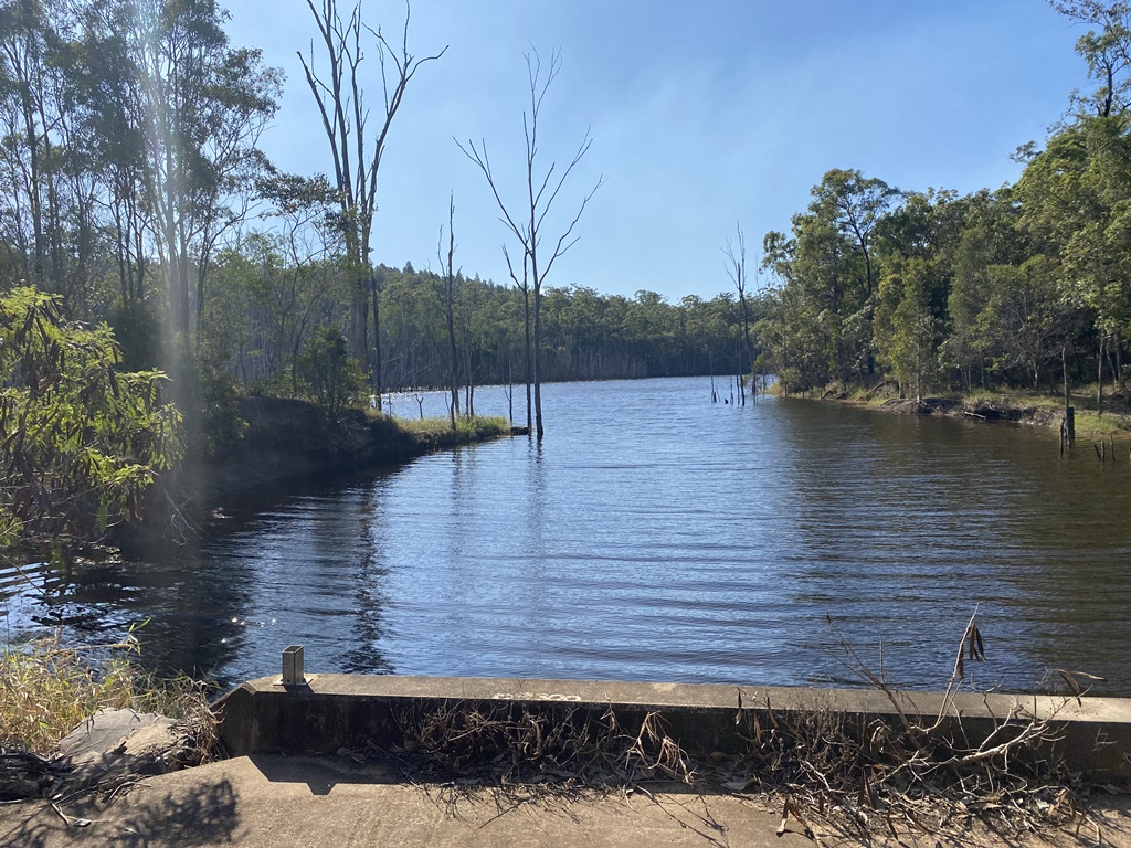
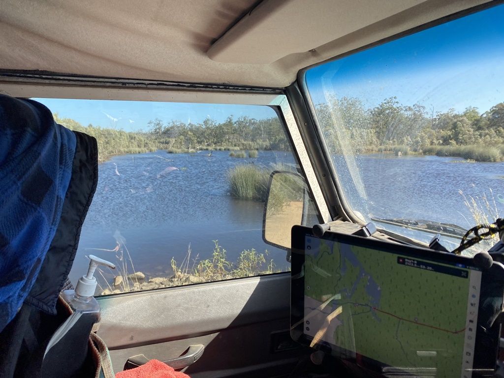
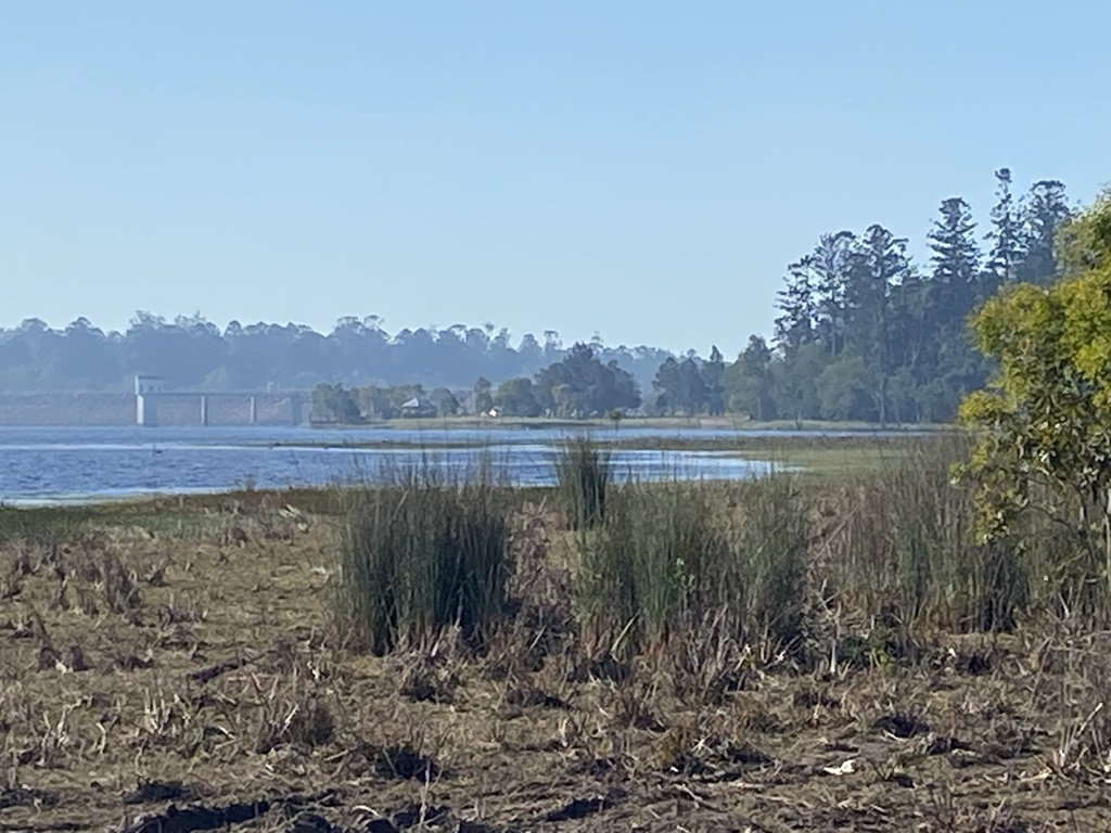
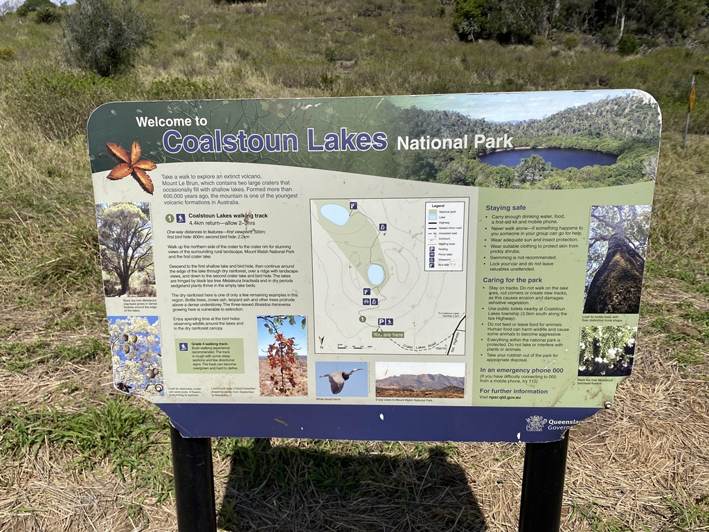
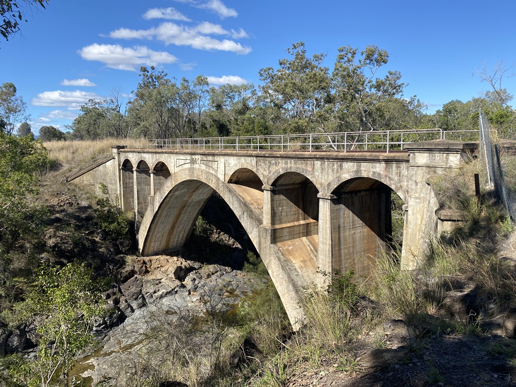
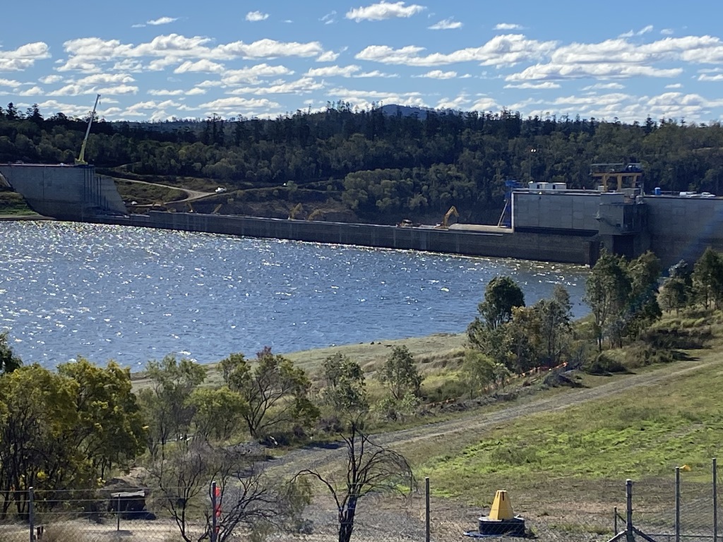
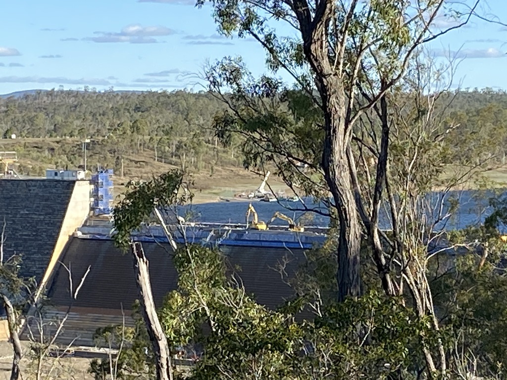
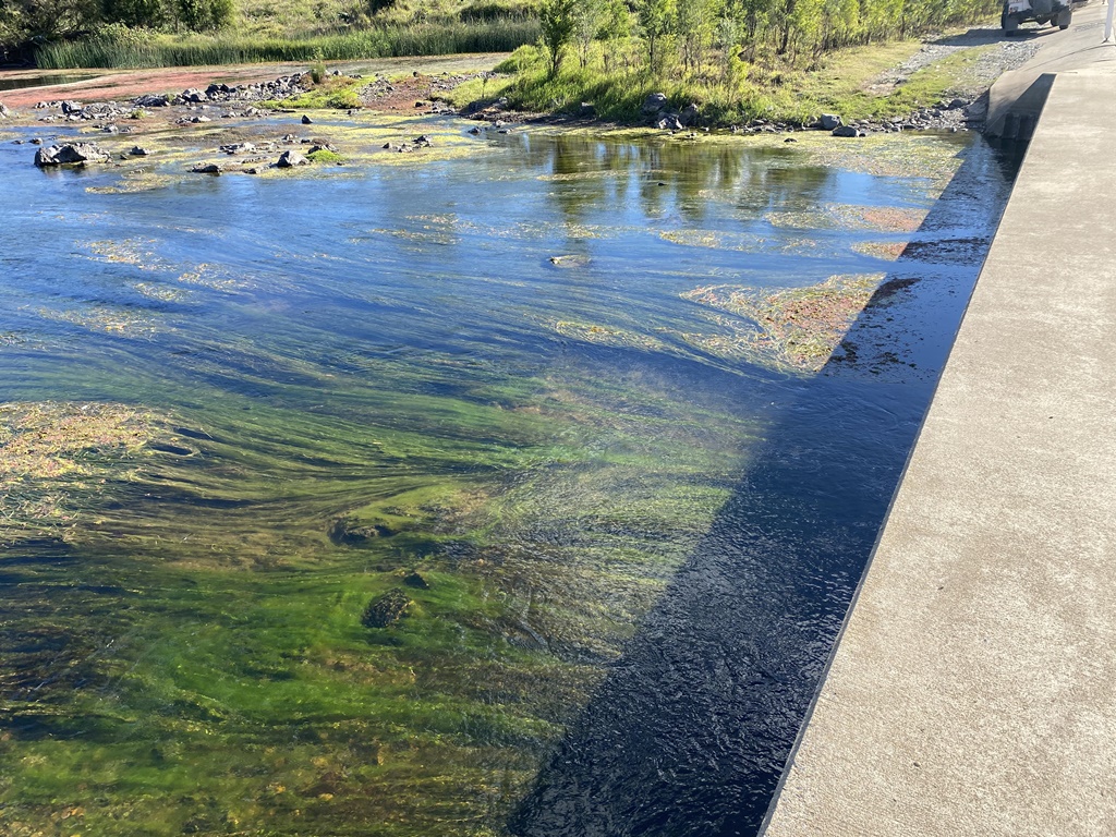
This track was barely used with it disappearing at certain points but I never came across a "Keep Out" sign, etc. so I pushed onwards going through gate after gate with me eventually working my way out and back onto the main Hwy. This so called short cut had taken longer than I thought & now I was a bit behind schedule. Back on the Hwy I called into see the Coalstoun Lakes which were dry and not much to see. After completing the walk around the lake, I made my way back towards Biggenden and then north to Paradise Dam via back roads. Along the way I stopped to check out an old railway Bridge called Chowey Bridge... Upon reaching the Dam Kiosk, I bought a Coffee & Ice-Cream before checking out the dam construction to lower the dam by 5mtrs due to suspect concrete being used during the Dam construction.
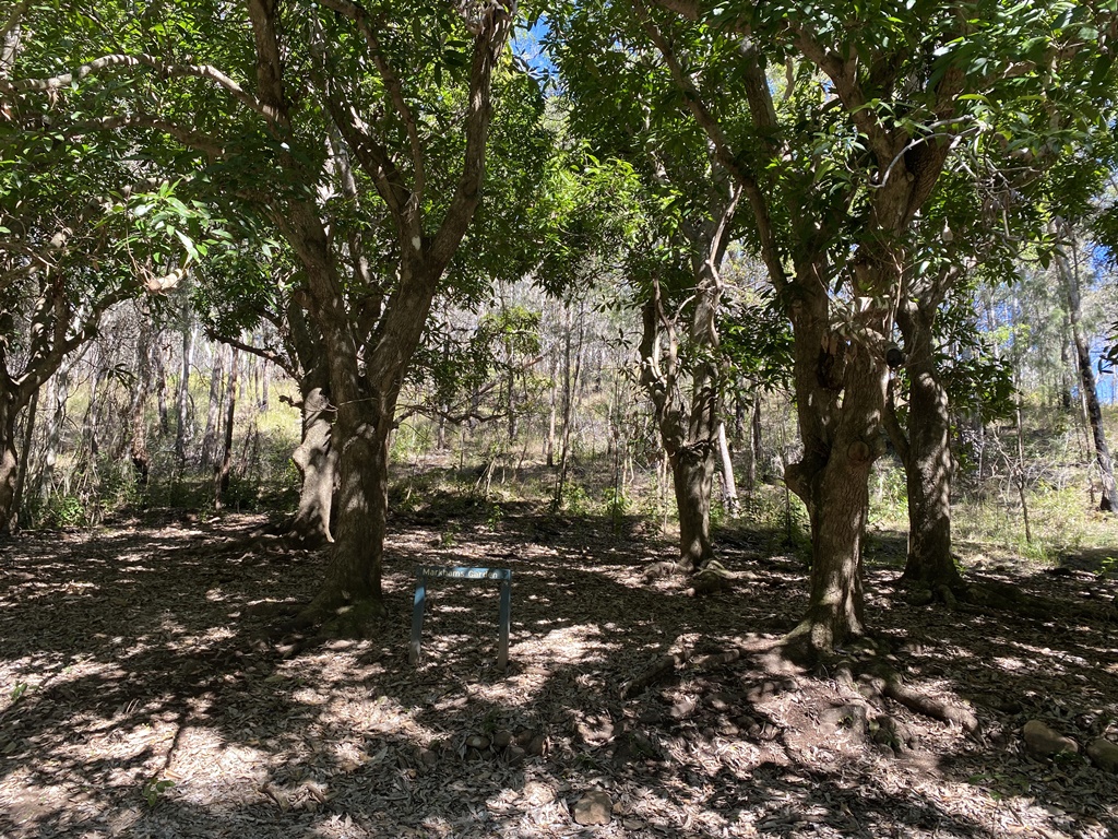
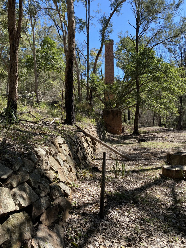
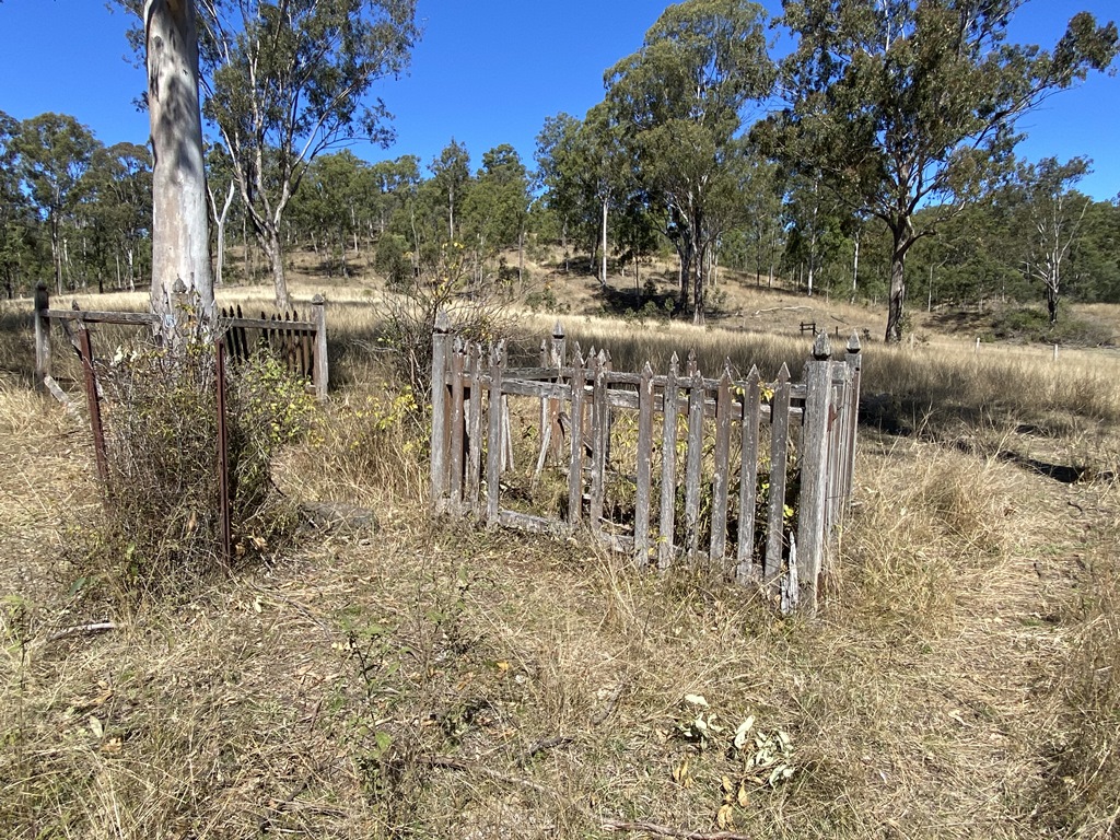
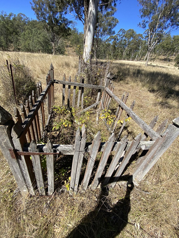
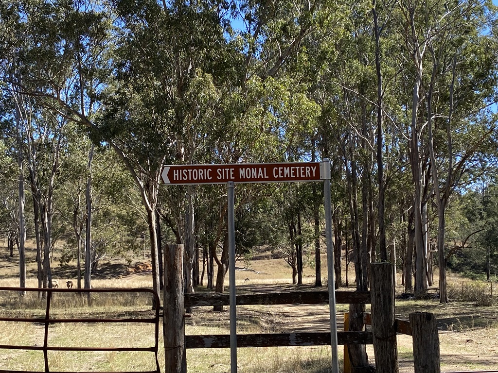
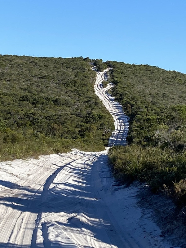
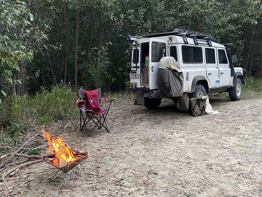
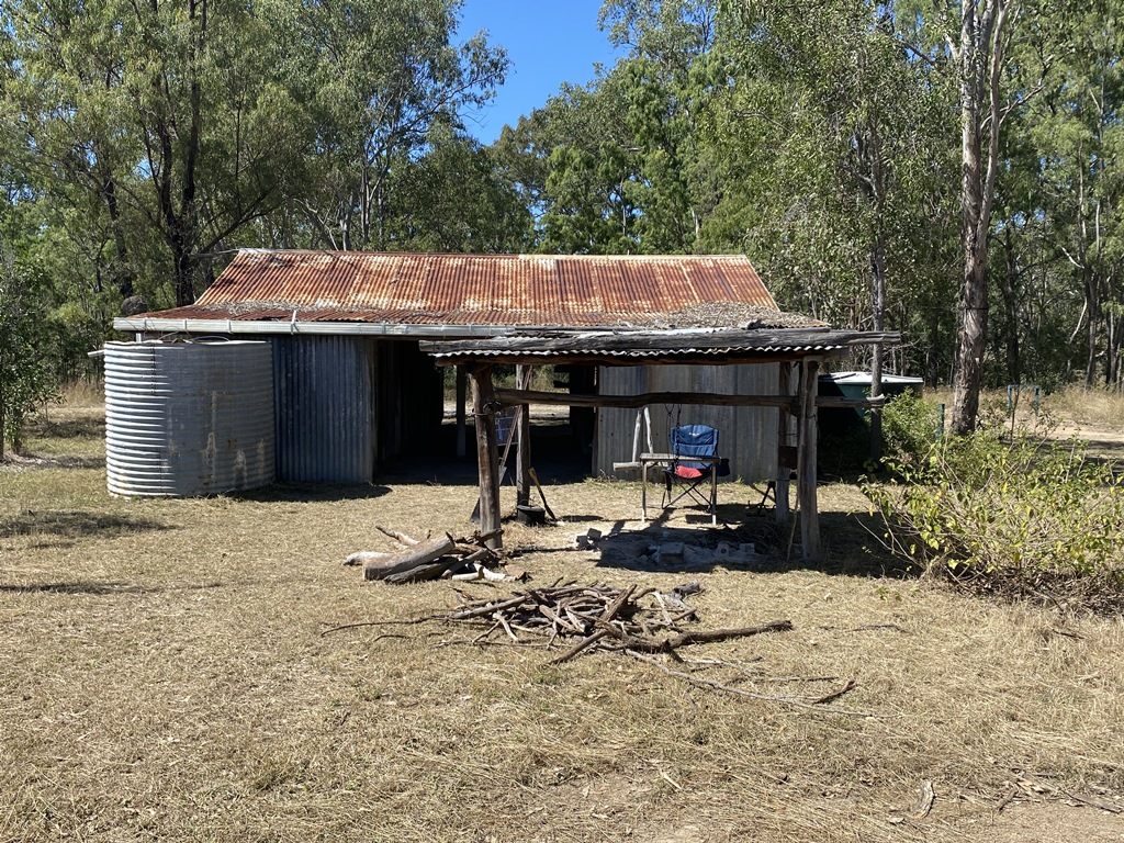
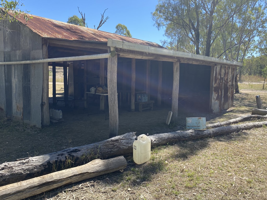
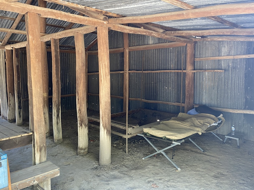
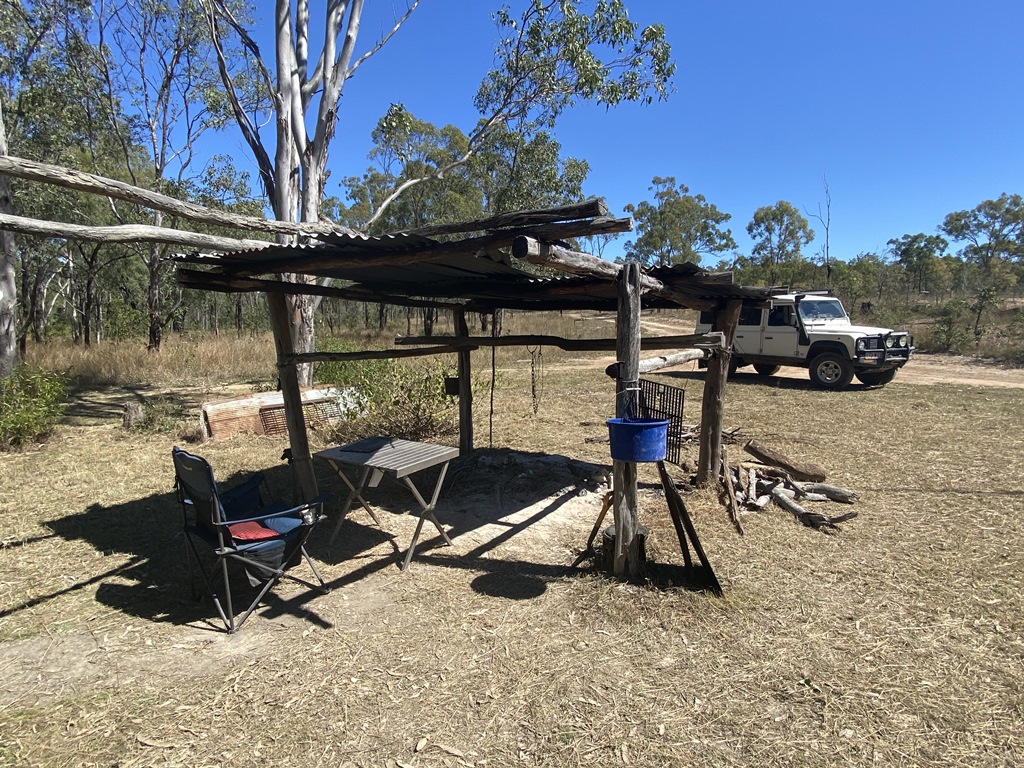
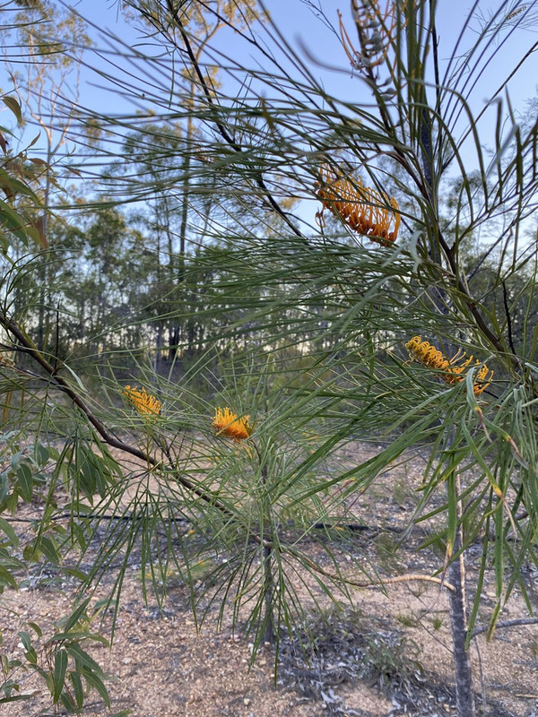
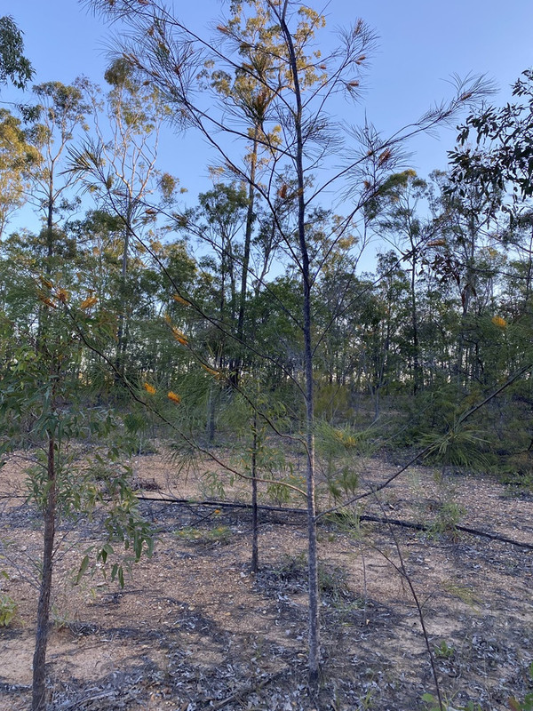
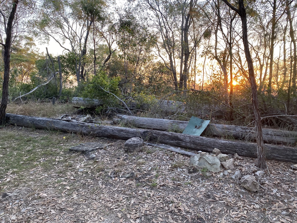
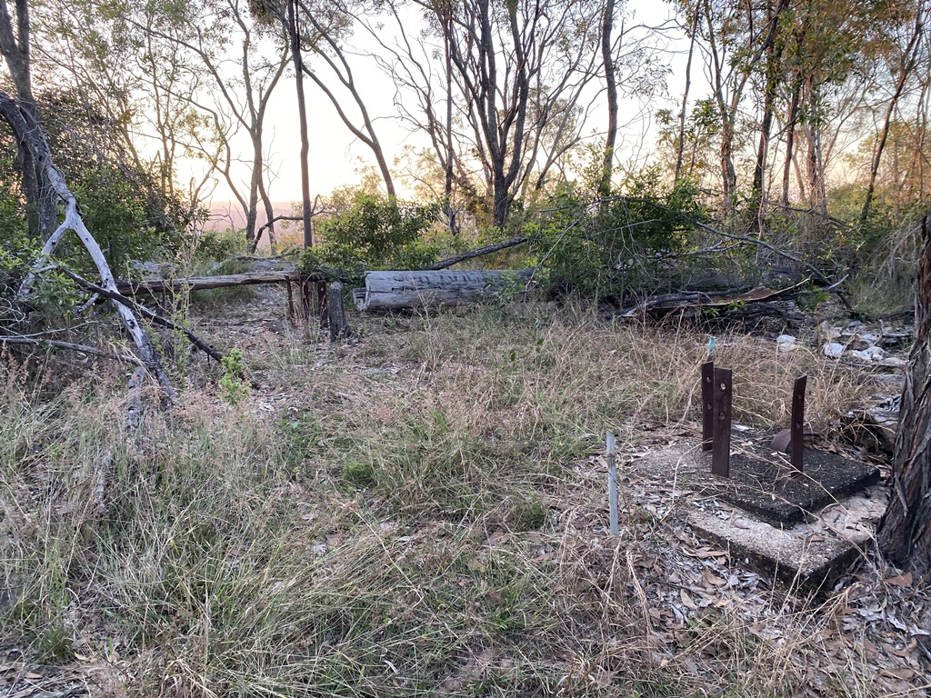
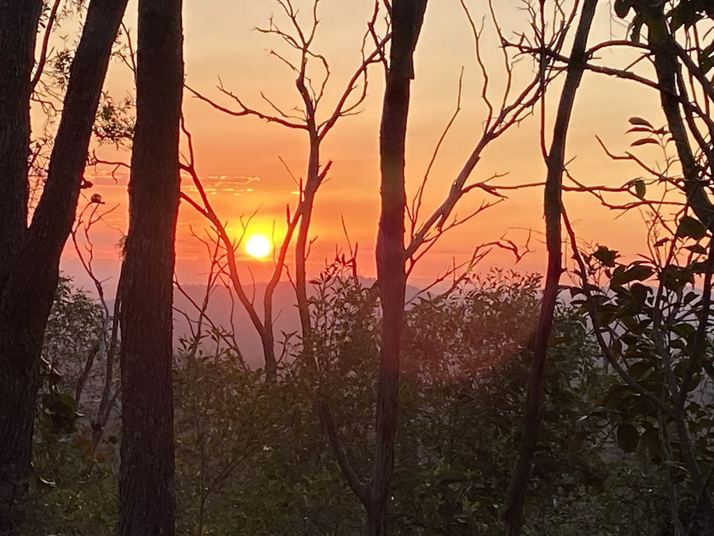
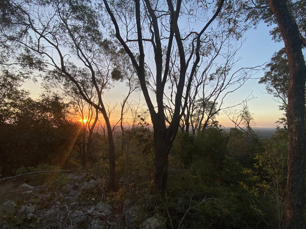
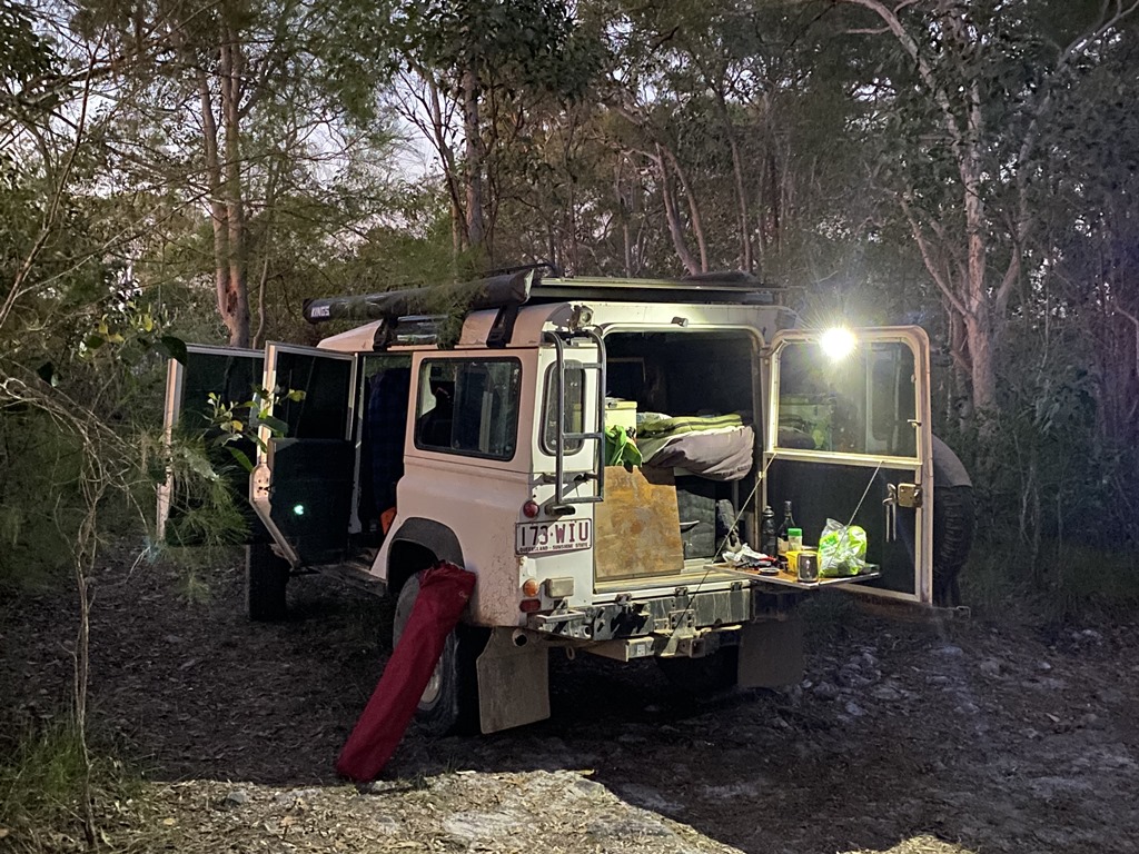
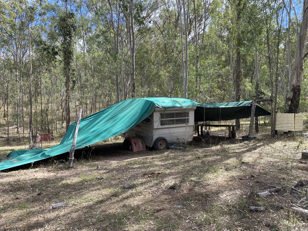
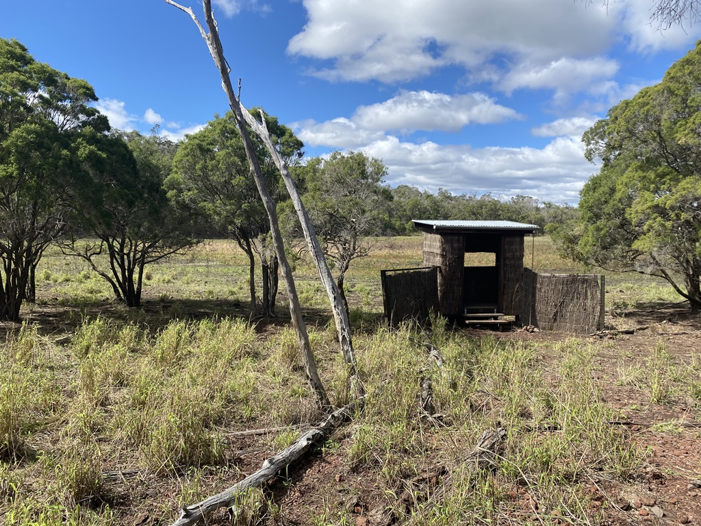
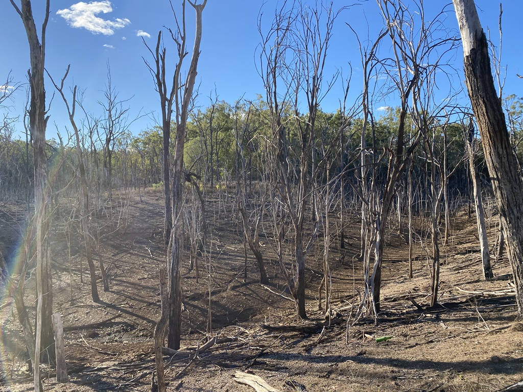
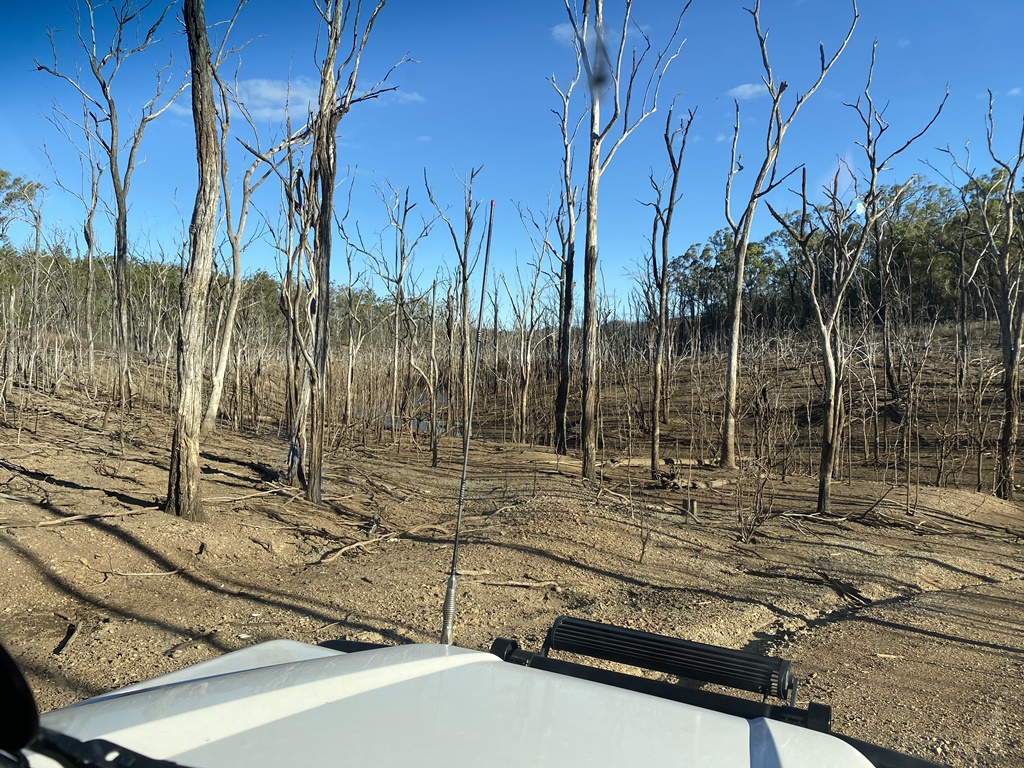
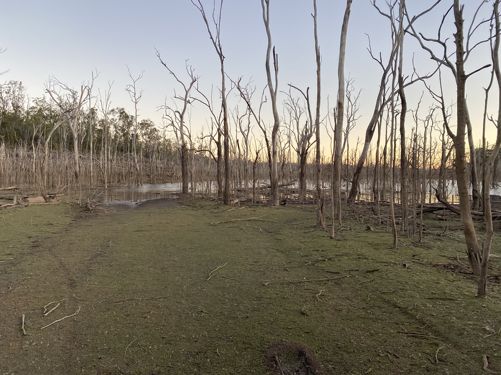
At this point is was getting late in the day so I headed into Goodnight Scrub NP hoping to find an old Historic Hut - Kalliwa Hut... With daylight getting away from me and no matter which track I tried (& I tried just about every track that I could find) there was no track that I could find that would take me to the Hut so with little daylight left I headed out and to the western side of the Park and looking for a place to camp for the night. This is when I came across Kalliwa Road so I thought this must take me directly to the Hut so I took the chance and headed down the road but a few kms down the road I was stopped by the Dam Water blocking the road. At this point daylight was almost gone so I backtracked and found a little side track to call Camp for the Night
Distance Travelled: 274kms
Driving Time: 8h11m


RobMac

Rank III
Launch Member

Enthusiast III

646
Brisbane, Queensland Australia
First Name
Rob
Last Name
Mac
Member #

23488

Day-3:
Due to the wasted time of the previous day it was another early rise and back on the road by 6am. Headed out and towards Mount Perry to check out some old mining Relics then pushed on to Monto where I refuelled and ended up running into some old friends that I hadn't seen for years and chatted for the next 30mins or more before leaving and heading to my next little exploring area Dawes NP and Resource Reserve.
Turned off onto Childs Road and headed into check out the old mining area of Glassford Creek Mine. Along the way I turned off to check out Markham Garden. This req'd Low Range to get there so that added to the interest to see what was there... Upon arrival all signs of the past were long gone but just a group of what look Mango Trees was left which turned out to be Markham’s Garden.
I headed back out and onwards to find the old mining relics which I reached not long after. I spent a bit of time here walking and exploring the area to see what I could find... The main features here are the remaining 2 Glassford Creek Smelters and some other what looked like furnaces. Nearby was a box containing some of the Historical information of the area.
From this old mining site, I wanted to get to my next old mining town at Monal Mining Ruins and Cemetery but again I didn't want to backtrack, so I checked my GPS and headed off along a road that was more like a 2 wheel track. As I continued along the track it seemed to be headed in the direction and sometime later my luck paid off and I ended up coming onto the old Monal Road where the Old Monal Cemetery is located along with other rather large mining relics like the huge Stamper and Boilers, etc. Stopped for a quick bite to eat before pushing northwards where the track started to deteriorate and also became a lot steeper. The hope was that this track would lead me into Kroombit Tops NP and to what I hope would be my next nights camp - Fairy Springs @ Dan Dan SF. The road did eventually lead to where I wanted to go and also was the 1st time that I came across others exploring - all be it on 2 wheels. It was a slow climb up and into the Kroombit Tops NP and onwards to my nights Camp - Fairy Springs, reaching there with plenty of daylight left.
Distance Travelled: 320kms
Driving Time: 6h37m


RobMac

Rank III
Launch Member

Enthusiast III

646
Brisbane, Queensland Australia
First Name
Rob
Last Name
Mac
Member #

23488

Day-4:
Another early start as I wanted to reach Byfield NP today… Reached Calliope in good time but then ran into km after km of Roadworks which slowed me down.. Reached Rockhampton where I refuelled and pushed on to check out a little known local 4WD track that I found out before I left - Pistol Gap Loop track. Reached the track which would take me to the start of the Pistol Gap track and just getting there was a nice little challenge with the water lying on the road.
Upon reaching the start of the southern end of Pistol Gap loop I stopped and had a bit of a look around and looking at the exit point I quickly came to the conclusion that I would give this track a miss due to being Solo. I pushed further north along this track dodging bog hole after bog hole and eventually reached some more well-formed tracks which lead me back onto the main road to Byfields.
I turned off to check out Stony Creek camping area - which turned out to be one beautiful spot. Had a bite to eat before continuing my way out & towards Byfields Beach. Reached the tyre Air-down point and quickly aired down to 16psi and headed off along the track but didn't too far before I reached the 1st big Sandhill climb which already had a few cars bogged due to incorrect tyre pressures. Waited for a fair while and when the 2 vehicles in front of me couldn't go anywhere and backed down - I saw my chance and drove around and up the sandy hill with the old Defender easily conquering the hill in a slow but steady pace due to all the wombat holes. Once at the top I took the southern turnoff track to easily conquer another steep sandy hill and continuing down and onto the beach where I headed straight south as far as I could go to check out the area while the tide was low.
After stopping for lunch at the southernmost point, I then continued to head north and check out all the camping areas along the way. Continued up to check out Stockyard Point and then onto visit the famous Five Rocks. From here I continued north as far north as u could go and also could multiple vehicular tracks heading up and over the dunes where u could see wheel tracks over a lot of the sand dunes further back off the beach. I did a quick check but wasn't sure if you were allowed to drive up them or not, so I chose to continue to check the northern area. There looked to be some great camping spots but again I was unsure if u were allowed to camp this far north.
With having visited most of the tourist sites, it was time to head out so I made my way out to again locate a suitable hidden camp spot for the night - which I did north of the Byfield Township
Distance Travelled: 406kms
Driving Time: 8h13m


  • Like
Reactions: Steve_ohhhhh

RobMac

Rank III
Launch Member

Enthusiast III

646
Brisbane, Queensland Australia
First Name
Rob
Last Name
Mac
Member #

23488

Day-5:
Having covered all of Byfields in one day, this gave me the opportunity to explore further west - which I did…. Heading out west of Rockhampton to a little known National Park called Goodedulla. After refuelling and battling the peak hour traffic I was on my way westwards to the little town of Gogango where u head north towards the Park. The road towards the park was in good condition until I past the last Homestead where the track quickly deteriorated and also having to open/close multiple gates one again. Finally reached the Park boundary and entered the park with again the track getting worse with speed dropping down to around 15kph. Continued northwards and found myself wondering "why" this place is classed as a National Park? The place was bone dry with little to nothing to see along the way. Even the designated campgrounds seem to me were little more than a flat area out in the open sun. I pushed north passing an old abandoned Truck and the only other thing that I found worth seeing and that was 20mile Hut. This old Stockman’s Hut was in great condition and worth a look. From here I continued north to what I thought was the end of the track - Kings Dam. Again this was apparently a designated campground but there was nothing here but the prickles.
At this point I could see on the GPS another campground further north but I didn't have a track log to it and my time to get back out in the one day was starting to run out. It was at this point while studying the GPS that a car from the north came up behind me. After a good chat with the fella and finding him also wanting to find that last camping spot further north, it was decided that we would turn around and go and see if we could find this last campground... After some 6kms of slow going we finally reached the last park, which again turned out to be nothing but a flat little area where u can barely turn your car around. We had a quick look around down along the dry creek bed before it was time for me to head off if I wanted to get out of the park in daylight. Said my farewells to the fellow explorer and tried my best to get back out with some daylight left. On the way south I discovered a shortcut which picked up some time and I managed to get back out of the park by 3pm and headed back towards Rockhampton and south to my next destination - Eurimbula National Park. With daylight gone I managed to find a nice little hiding place along the road to Turkey Beach
Distance Travelled: 573kms
Driving Time: 9h31m


  • Like
Reactions: Steve_ohhhhh

RobMac

Rank III
Launch Member

Enthusiast III

646
Brisbane, Queensland Australia
First Name
Rob
Last Name
Mac
Member #

23488

Day-6:
Back on the road early again I headed to Turkey Beach to check out. Turkey Beach seemed to be nothing more than a little fishing village where u needed a boat, so I headed back out and made the discussion to take the short cut via the backroad towards to the towns of Agnes Waters and 1770. This little track turned out to be a great little track with multiple bog holes and water lying around and required a lot of concentration to ensure I didn't get bogged. Along the track I found some poor bugger that didn't made it and had to abandon his car...
There were a few campgrounds off along this track and all looked pretty good but Eurimbula Creek was the pick for me... I eventually hit the main road to 1770 and did a quick refuel and look around before heading back as the place was extremely busy with tourists. From this point I headed to check out Wongi National Park and its surrounds and to see what it had on offer. I reached it in good time and had a quick look at the campgrounds before heading off and check out some 4WD tracks before continuing my way south to find my final camp spot for this solo trip of mine. After leaving Wongi NP I entered Mary SF and made my way to what I hoped would turn out to be a good camp spot - Maryborough Fire Tower #8. This turned out to be a bit of adventure with the track up the hill turning out to be a bit of a rock hopping and required some wheel placement to get me to the top... Finally reached the top just as the sun was setting and found nice spot to level the car and settle in for my final night...
Distance Travelled: 473kms
Driving Time: 8h39m


Day-7:
Rose early on my final day to see the sunrise before packing up and making my way down and out and back onto the Hwy heading home reaching there at 9.30am - End of a great Solo week of exploring…
Distance Travelled: 253kms
Driving Time: 2h56m


  • Like
Reactions: Steve_ohhhhh