Just out on a day off venturing into the Ouachita National Forest and discovered a little side road that caught my attention. Cove Creek Lake. Lived here all my life and have never been there.
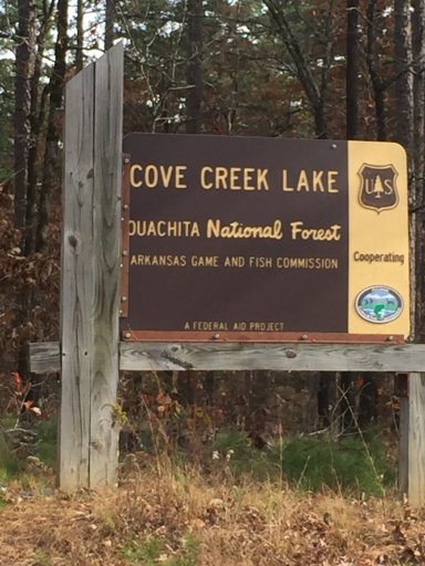
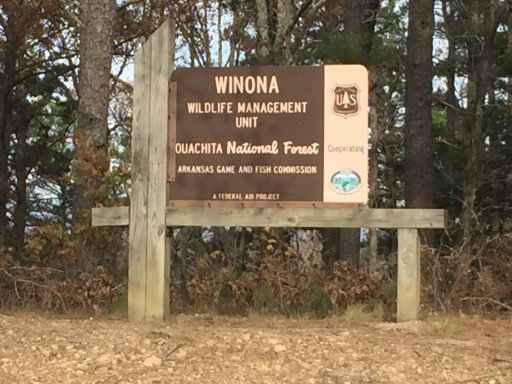
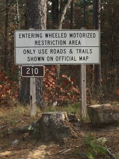
The road was nice and well managed. It was around 6 Miles or so til you reach the river on the lower side and then the dam which was on the east side of the lake. The water was down due to lack of rain in AR for a while.
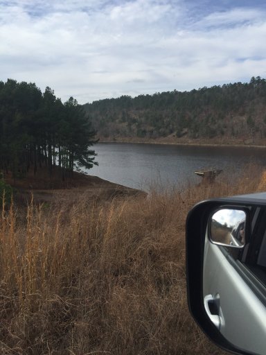
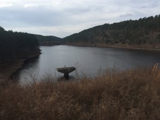
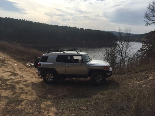
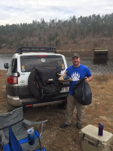
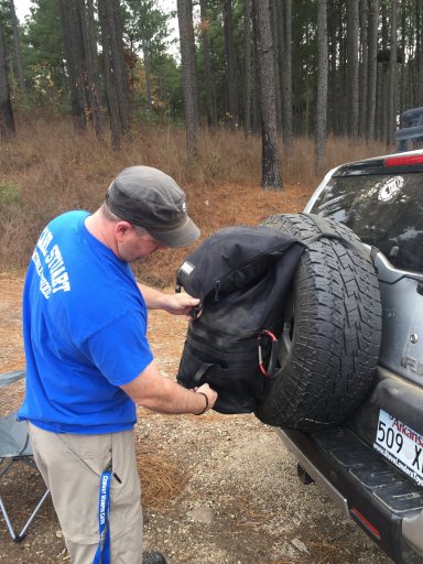
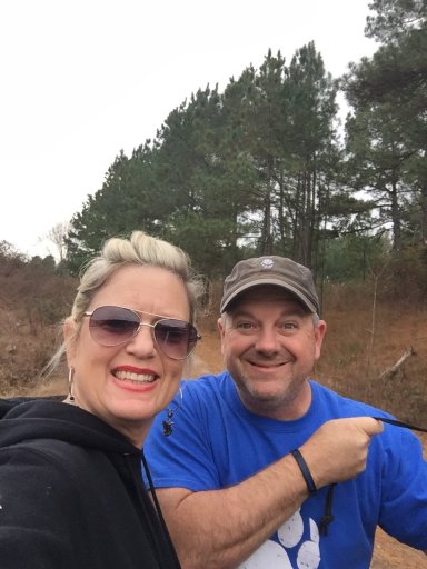
We went down to the lake (the only spot where you could actually drive up to the water) and had lunch. There is a campsite there and a makeshift boat ramp. It is a beautiful area but those before us apparently had never heard of Leave No Trace or didn’t care (most likely the latter) so my wife and I spent about 30-45 min picking up trash and packing my new trasharoo.
The road across the dam kept going but immediately turned into a more technical and difficult Trail instead of a road of sorts. I deciddd to test the FJ a little st the first but turned around due to time constraints.
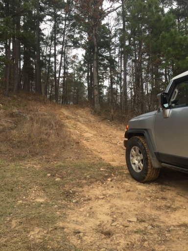
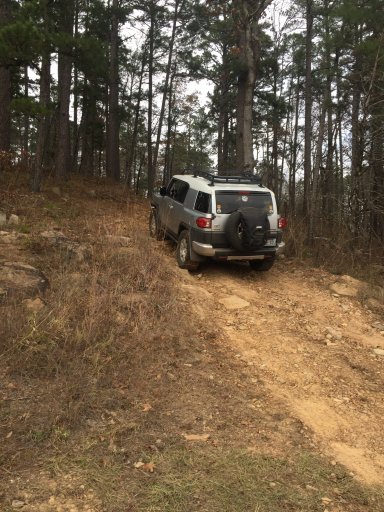
No problem. Coming back out of from the lake we headed back and stopped to visit a couple camping sites along the river for future reference. Very nice. I’m sure fishing is phenomenal here. We took an immediate left down a trail with no markings and found this to be the overlook of the river.
After a few camping sites we started to ascend rapidly up the mountain. It became more and more beautiful with each foot of travel. To the left it was very scenic and beautiful. Straight down to the river you could see across the other side to the bluffs.
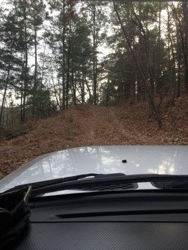
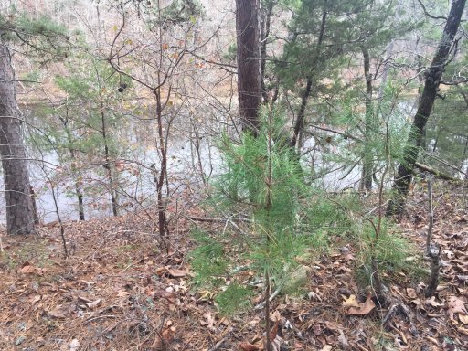
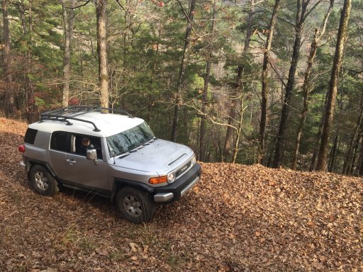
A few miles later we came back out on the main road. What a beautiful short trip off the beaten path. You could miss this easily if you didn’t know it was there. A gem of a find we will definitely go back for camping or daytrip in the future.
I upload the route file from my Gaia maps. Pretty new at that so don’t trust it completely. Lol
If you’re ever traveling through or to Arkansas please look me up. I would love to show you around and help your visit be all you dreamed it would be.


The road was nice and well managed. It was around 6 Miles or so til you reach the river on the lower side and then the dam which was on the east side of the lake. The water was down due to lack of rain in AR for a while.


We went down to the lake (the only spot where you could actually drive up to the water) and had lunch. There is a campsite there and a makeshift boat ramp. It is a beautiful area but those before us apparently had never heard of Leave No Trace or didn’t care (most likely the latter) so my wife and I spent about 30-45 min picking up trash and packing my new trasharoo.


The road across the dam kept going but immediately turned into a more technical and difficult Trail instead of a road of sorts. I deciddd to test the FJ a little st the first but turned around due to time constraints.


No problem. Coming back out of from the lake we headed back and stopped to visit a couple camping sites along the river for future reference. Very nice. I’m sure fishing is phenomenal here. We took an immediate left down a trail with no markings and found this to be the overlook of the river.
After a few camping sites we started to ascend rapidly up the mountain. It became more and more beautiful with each foot of travel. To the left it was very scenic and beautiful. Straight down to the river you could see across the other side to the bluffs.


A few miles later we came back out on the main road. What a beautiful short trip off the beaten path. You could miss this easily if you didn’t know it was there. A gem of a find we will definitely go back for camping or daytrip in the future.
I upload the route file from my Gaia maps. Pretty new at that so don’t trust it completely. Lol
If you’re ever traveling through or to Arkansas please look me up. I would love to show you around and help your visit be all you dreamed it would be.

Attachments
-
4.2 KB Views: 38


