Traveler III
Hello Overland Bounders! I thought I'd share a little 1 day adventure I just took with a good buddy of mine. Our objective was to explore the seldom-trodden paths of the famous Fraser Canyon. Having driven the canyon many times with my family as a child, I, like most folks, had really only experienced the freeway at 80-110 kph with very few stops along the way. I recently did some digging into the history of the canyon and was inspired to explore some of the out-of-the-way areas one simply doesn't see while cruising through.
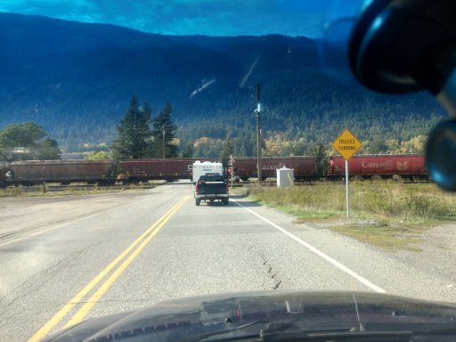
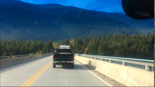
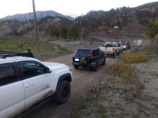
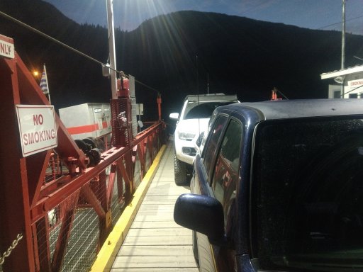
I mapped out a route on Gaia GPS. Unfortunately the trip was limited to 1 day only due to the recent arrival of my fifth child, but my wife was gracious enough to give me her blessing for the day of adventure, so off we went. We left home about 10:30am after hooking up my buddy's CB radio in his rig and hit the freeway headed for Hope.
We ended up meeting up with some work buddies in Hope just by chance as they were headed to a different part of the interior for hunting.
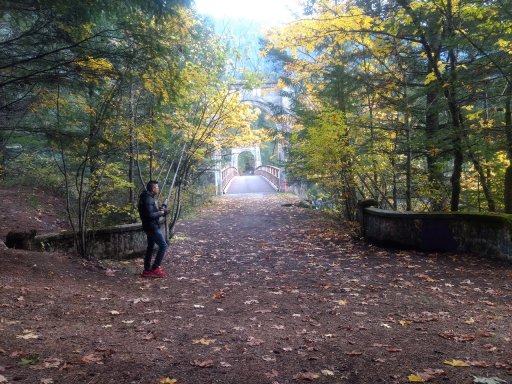
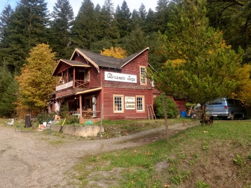
Our first major stop was Yale.
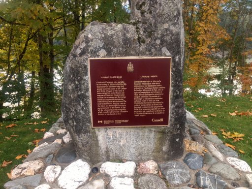
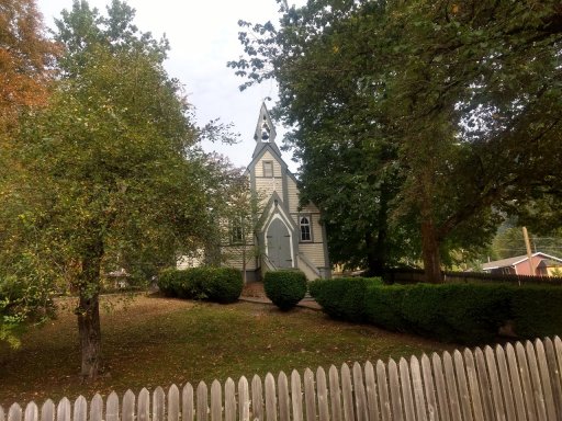
During the 1860's gold rush, Yale was a major boom town and a hub of travel on the Mighty Muddy Fraser. It was the start of the famous Cariboo Wagon Road, the first major land transportation artery through the canyon, which was subsequently usurped in part by the CN railway line later in the 1800's. Nowadays, Yale is a tiny, sleepy little town with little more than a gas station, a couple of minor historic sites, and some houses. The most impressive and lovely of the historic buildings of Yale is its historic church:
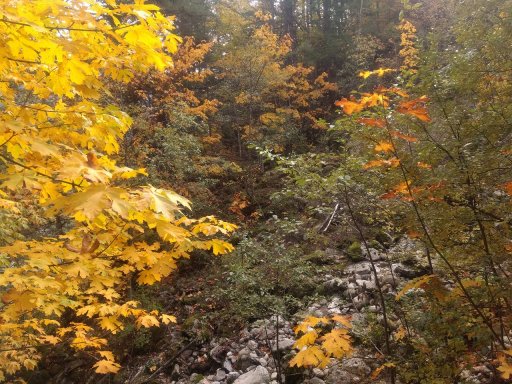
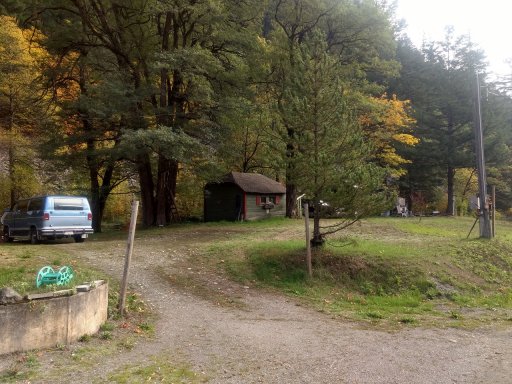
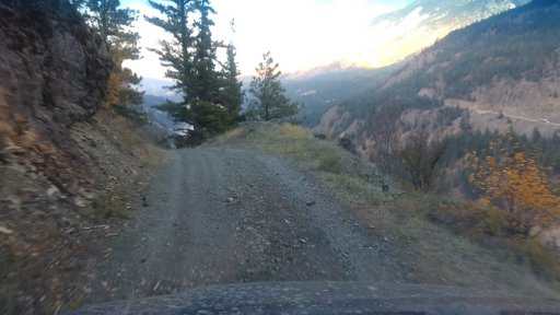
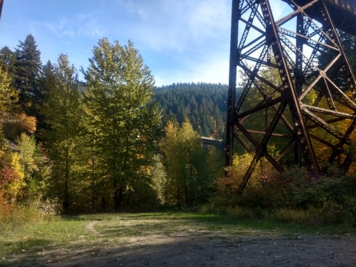
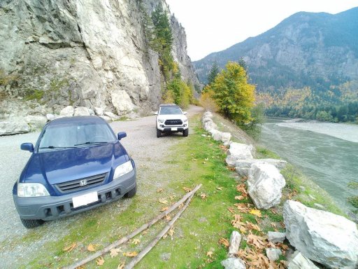
As much as I love old buildings, the natural beauty of the area surpasses all of them. We explored what appeared to be a very old, disused, dead-end road on the outskirts of town. I noticed this road on the map and was curious as to the way it seems to "transform" into the railway line at one point - I suspect that this is a remnant of the old Cariboo road in one of the places it was overlaid by the railway. Driving down it rewarded us with spectacular views:
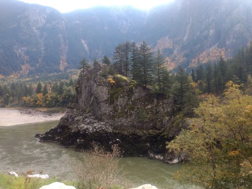
I found out through a bit of digging that the rock island in the first pic is called The Lady Franklin. This is the blurb about it from the Travel the Canyon website:
The Lady Franklin is a beautiful large rock, or some say an island in the middle of the Fraser River in Hope BC. This rock island was named after Lady Jane Franklin, wife of Sir John Franklin an early explorer who loved this area. This beautiful area is located along the Old Caribou Wagon Trail. To get there drive along the Trans-Canada Highway east bound through Yale, across the small bridge take the first right, and follow the road that runs alongside the Fraser River for a couple minutes. This is a great picnic spot.
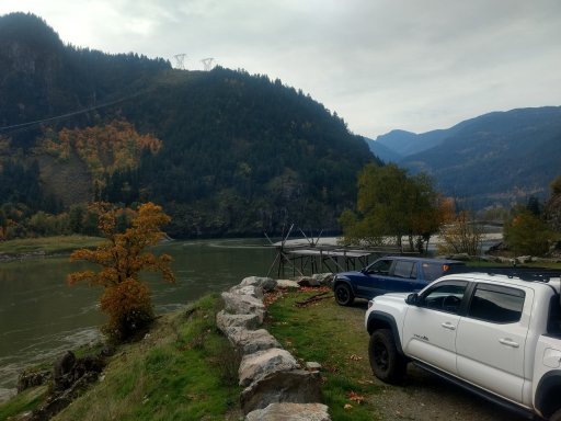
The structure behind my rig is a strange little roof-shelter-thingy with two lawn chairs and a carved wooden sign that says "please respect this property." We also saw some guys out fishing on the river. I considered hailing them on my loudspeaker just for fun, but thought better of it. Wouldn't want to be accused of scaring the fish away!
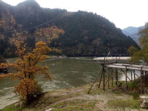
There was a similar structure on the far side of the river in a much worse state of repair. Quite interesting. The rock island appeared to be accessible via a natural rock bridge with the water at its current level, and a quick glance at the map suggested there may be a road on the far side that originates somewhere further up the canyon. Somewhere to explore on a other trip. After this, we headed on to our next stop, a curiousity I spotted on a recent drive down the canyon on the freeway: a wrecked vehicle in the middle of a huge rock slide near Spuzzum.
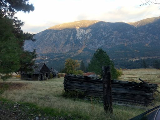
Spuzzum, the butt of many jokes of long time BC residents, is a very tiny, very dilapidated little village along the highway. The very embodiment of "blink and you'll miss it." In its heyday, it was more significant, but it was never much to speak of. We did see its best, perhaps its last, historically significant building, however, this house:

Painted by Michael Kluckner for his lovely book and website Vanishing BC, the contents of which largely inspired this trip. You can read more about Spuzzum and its buildings here: https://www.michaelkluckner.com/bciw6spuzzum.html
Apparently in its prime, this was the old hotel in Spuzzum, which apparently resembles one built in Boston Bar, further north.
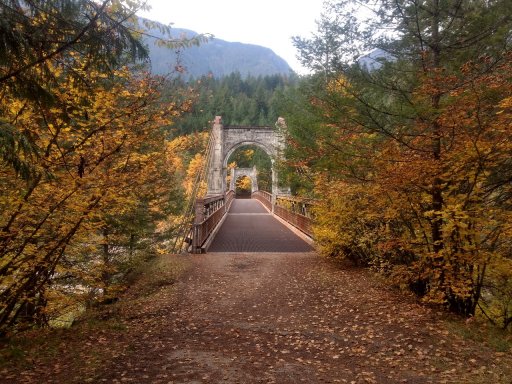
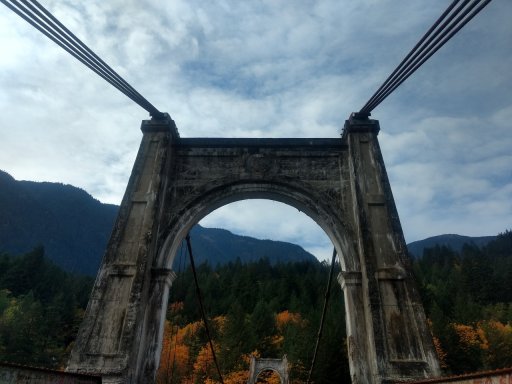
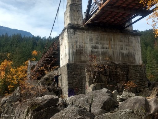
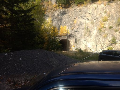
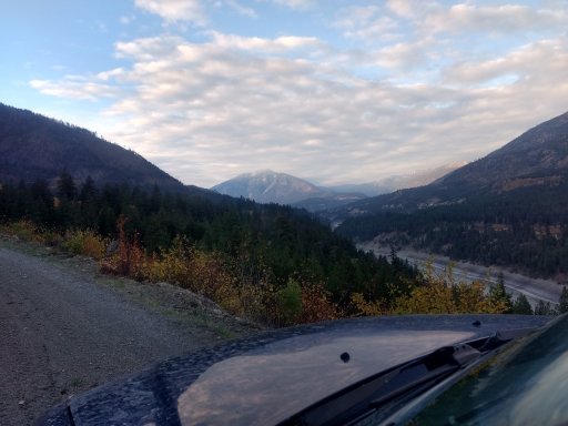
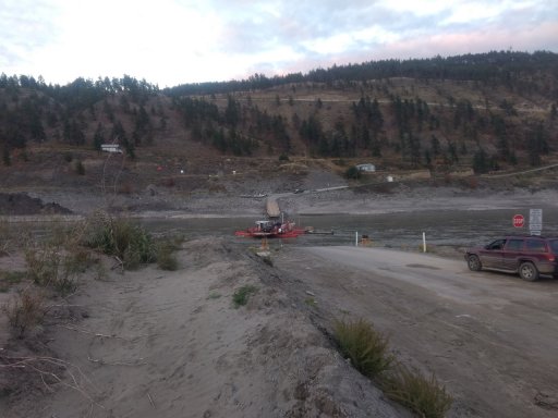
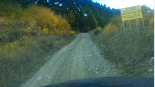
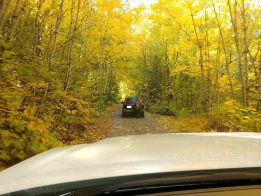
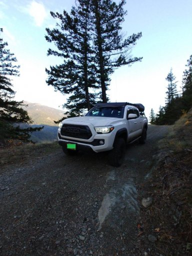
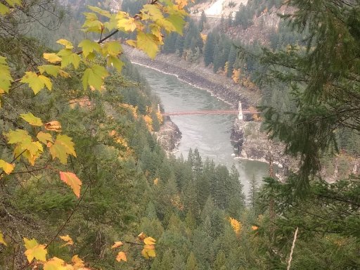
After a brief tour of Spuzzum, we headed up a nearby forestry road which I figured would lead us to the best opportunity to explore the mysterious wreck I saw from the freeway. At the top of the road, we were rewarded with a splendid view of our next scheduled stop, the Old Alexandra Bridge:
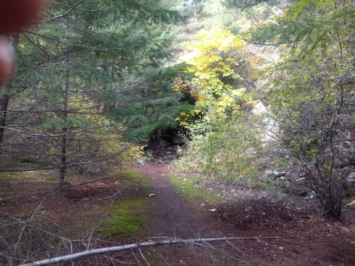
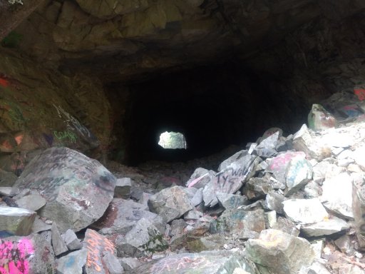
More on that later, however, as after a bit of poking around, we spotted the wreck:
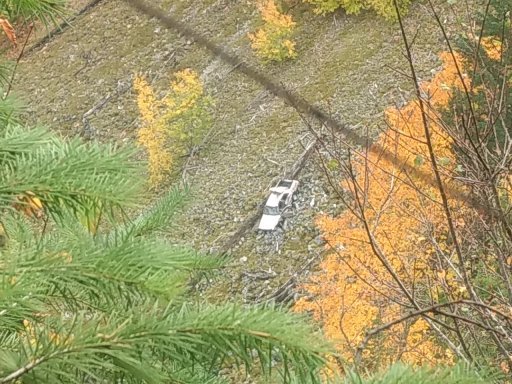
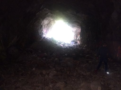
From a distance, I had thought this was a pickup, but as you can see it's a sedan of some kind. It's very mysterious to me. Perhaps a stolen car, perhaps some very unfortunate motorists exploring the FSR who made a wrong turn, or maybe something else. Who knows? More to follow...
I mapped out a route on Gaia GPS. Unfortunately the trip was limited to 1 day only due to the recent arrival of my fifth child, but my wife was gracious enough to give me her blessing for the day of adventure, so off we went. We left home about 10:30am after hooking up my buddy's CB radio in his rig and hit the freeway headed for Hope.
We ended up meeting up with some work buddies in Hope just by chance as they were headed to a different part of the interior for hunting.
Our first major stop was Yale.
During the 1860's gold rush, Yale was a major boom town and a hub of travel on the Mighty Muddy Fraser. It was the start of the famous Cariboo Wagon Road, the first major land transportation artery through the canyon, which was subsequently usurped in part by the CN railway line later in the 1800's. Nowadays, Yale is a tiny, sleepy little town with little more than a gas station, a couple of minor historic sites, and some houses. The most impressive and lovely of the historic buildings of Yale is its historic church:
As much as I love old buildings, the natural beauty of the area surpasses all of them. We explored what appeared to be a very old, disused, dead-end road on the outskirts of town. I noticed this road on the map and was curious as to the way it seems to "transform" into the railway line at one point - I suspect that this is a remnant of the old Cariboo road in one of the places it was overlaid by the railway. Driving down it rewarded us with spectacular views:
I found out through a bit of digging that the rock island in the first pic is called The Lady Franklin. This is the blurb about it from the Travel the Canyon website:
The Lady Franklin is a beautiful large rock, or some say an island in the middle of the Fraser River in Hope BC. This rock island was named after Lady Jane Franklin, wife of Sir John Franklin an early explorer who loved this area. This beautiful area is located along the Old Caribou Wagon Trail. To get there drive along the Trans-Canada Highway east bound through Yale, across the small bridge take the first right, and follow the road that runs alongside the Fraser River for a couple minutes. This is a great picnic spot.
The structure behind my rig is a strange little roof-shelter-thingy with two lawn chairs and a carved wooden sign that says "please respect this property." We also saw some guys out fishing on the river. I considered hailing them on my loudspeaker just for fun, but thought better of it. Wouldn't want to be accused of scaring the fish away!
There was a similar structure on the far side of the river in a much worse state of repair. Quite interesting. The rock island appeared to be accessible via a natural rock bridge with the water at its current level, and a quick glance at the map suggested there may be a road on the far side that originates somewhere further up the canyon. Somewhere to explore on a other trip. After this, we headed on to our next stop, a curiousity I spotted on a recent drive down the canyon on the freeway: a wrecked vehicle in the middle of a huge rock slide near Spuzzum.
Spuzzum, the butt of many jokes of long time BC residents, is a very tiny, very dilapidated little village along the highway. The very embodiment of "blink and you'll miss it." In its heyday, it was more significant, but it was never much to speak of. We did see its best, perhaps its last, historically significant building, however, this house:
Painted by Michael Kluckner for his lovely book and website Vanishing BC, the contents of which largely inspired this trip. You can read more about Spuzzum and its buildings here: https://www.michaelkluckner.com/bciw6spuzzum.html
Apparently in its prime, this was the old hotel in Spuzzum, which apparently resembles one built in Boston Bar, further north.
After a brief tour of Spuzzum, we headed up a nearby forestry road which I figured would lead us to the best opportunity to explore the mysterious wreck I saw from the freeway. At the top of the road, we were rewarded with a splendid view of our next scheduled stop, the Old Alexandra Bridge:
More on that later, however, as after a bit of poking around, we spotted the wreck:
From a distance, I had thought this was a pickup, but as you can see it's a sedan of some kind. It's very mysterious to me. Perhaps a stolen car, perhaps some very unfortunate motorists exploring the FSR who made a wrong turn, or maybe something else. Who knows? More to follow...
Last edited: