Building, Driving and Adventuring the MTN4RNR

  • HTML tutorial

MTN4RNR

Rank V
Launch Member

Advocate II

1,750
Bay Area, CA
Member #

0614

Wow... Talk about neglect on my end... I have been having a busy summer, and have been on a number of adventures but have not been here to update this page and converse with my fellow OB members. That's going to change. I've been sad that I haven't spent as much time here as I would like, and have subsequently missed out on OTG 2016 sign-ups, but fear not; in the coming days I will have a good write up and photo dump on this page to bring everyone up to speed with the PROMISE to keep things more regular. I am sorry for the lapse in attention, but for all intents and purposes, I am back!

 
  • Like
Reactions: Lifestyle Overland

MTN4RNR

Rank V
Launch Member

Advocate II

1,750
Bay Area, CA
Member #

0614

Great write up! I appreciate the average joe build up of a rig vs throwing $$$ at it as if it were a SEMA rig. Good thoughtful mods and plenty of adventure.
Thank you, money isn't something that I have a ton of, but I try to spend what I can on quality, needed add on's to make the most of the 4Runner and it's awesome capabilities!
 

MTN4RNR

Rank V
Launch Member

Advocate II

1,750
Bay Area, CA
Member #

0614

Lola Montez/Fordyce Lake - July 2016
Last weekend I took my dad on a delayed Father's Day trip to the Sierras to do some fishing and exploring in an area that neither of us had been in before. Quick backstory: my dad has been an avid fisherman his whole life, and his passion for the mountains has trickled down to me. He started his landscaping company, which I now work for, about 30 years ago. In the last 5-10 years as the economy fluctuated, his need to work longer and more consistent hours has increased, to the point where he hasn't had the ability to get away as much as he would like. SO one of my goals with my adventures is to include him on some of the trips to "break the mold" and remind him what weekends are all about. On that note, here's a recap of the trip:


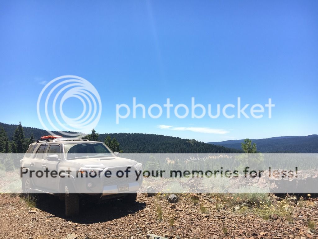
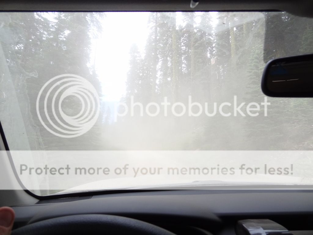
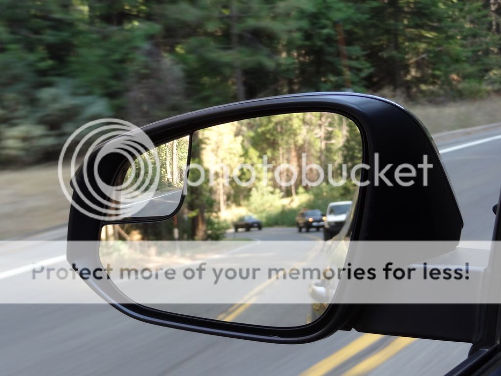
We started on Rattlesnake Road, the same as my last trip, and stopped in at my last campsite. The creek I stayed on is all but a trickle and the snow that I crossed to get in has long melted away


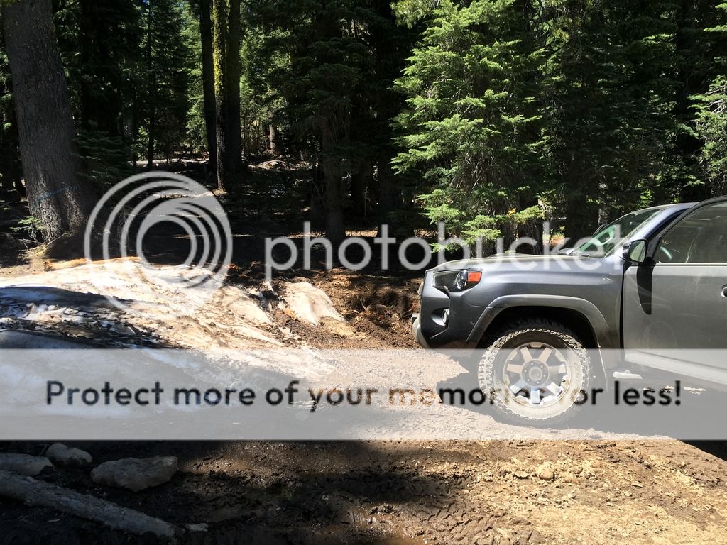
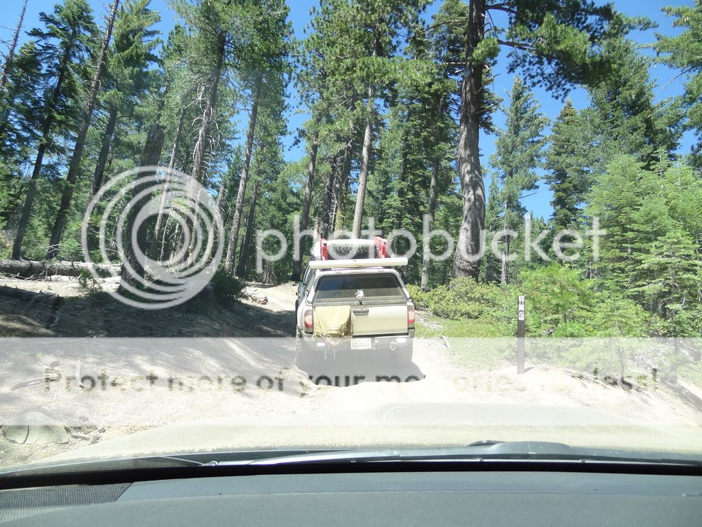
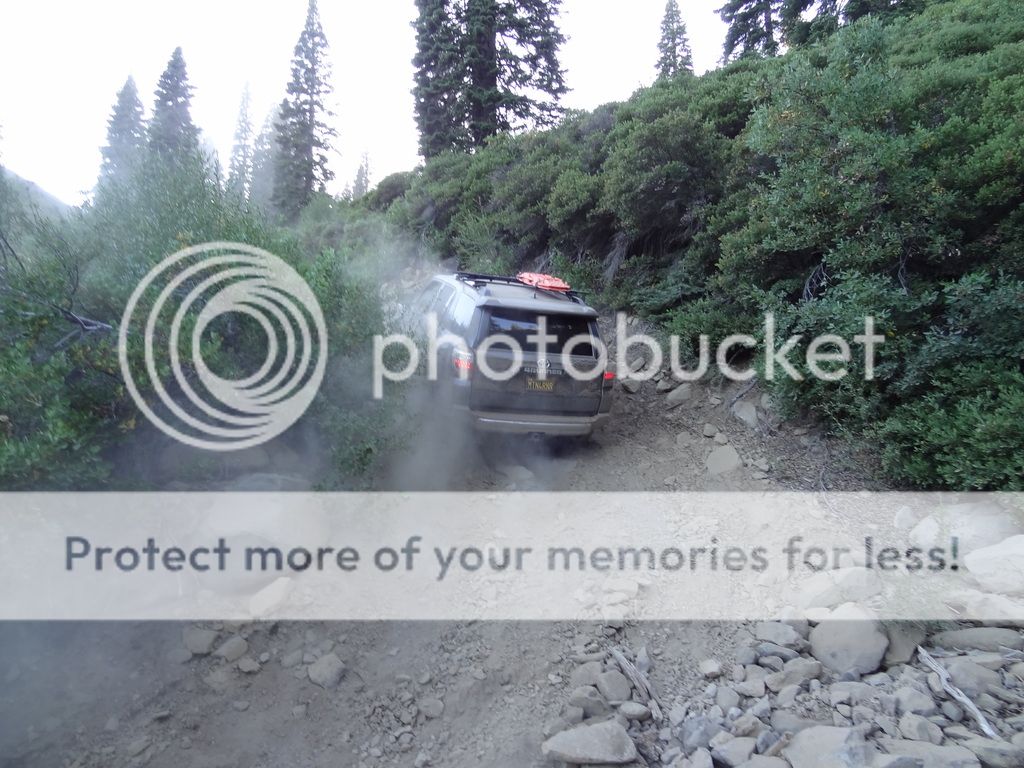
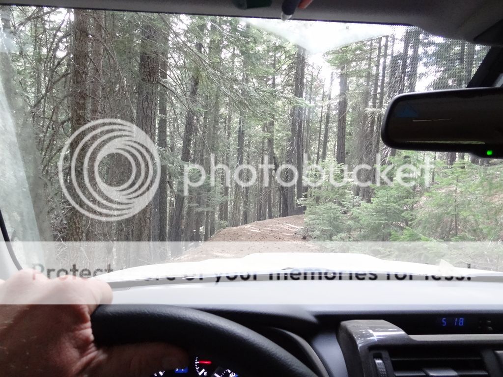
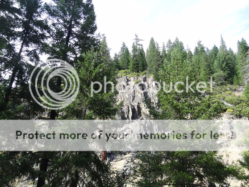
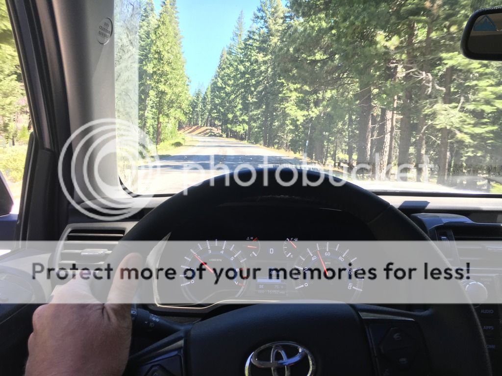
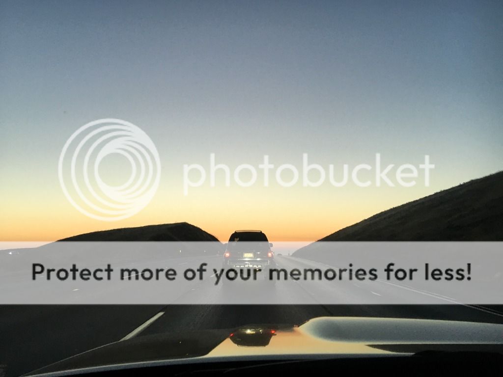
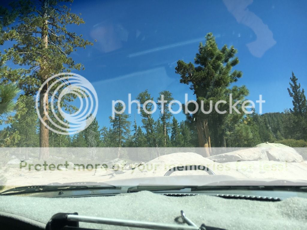
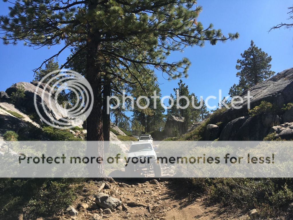
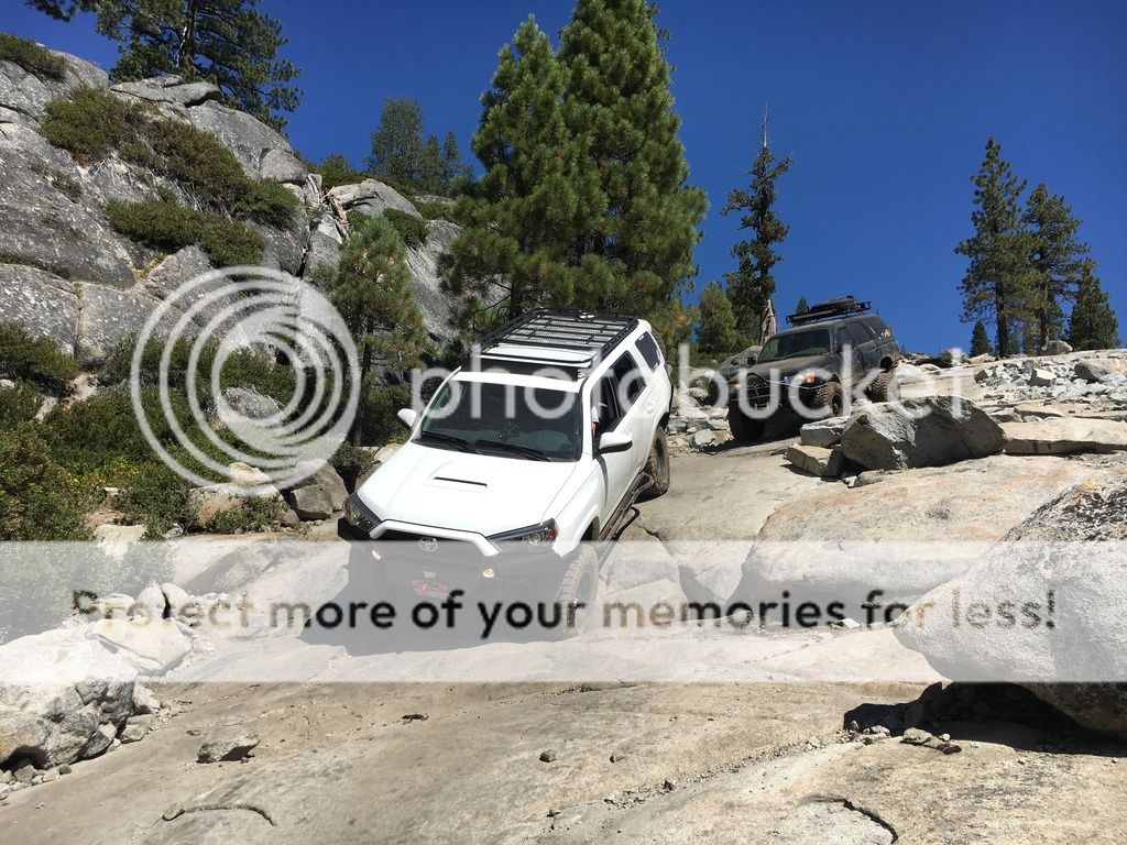
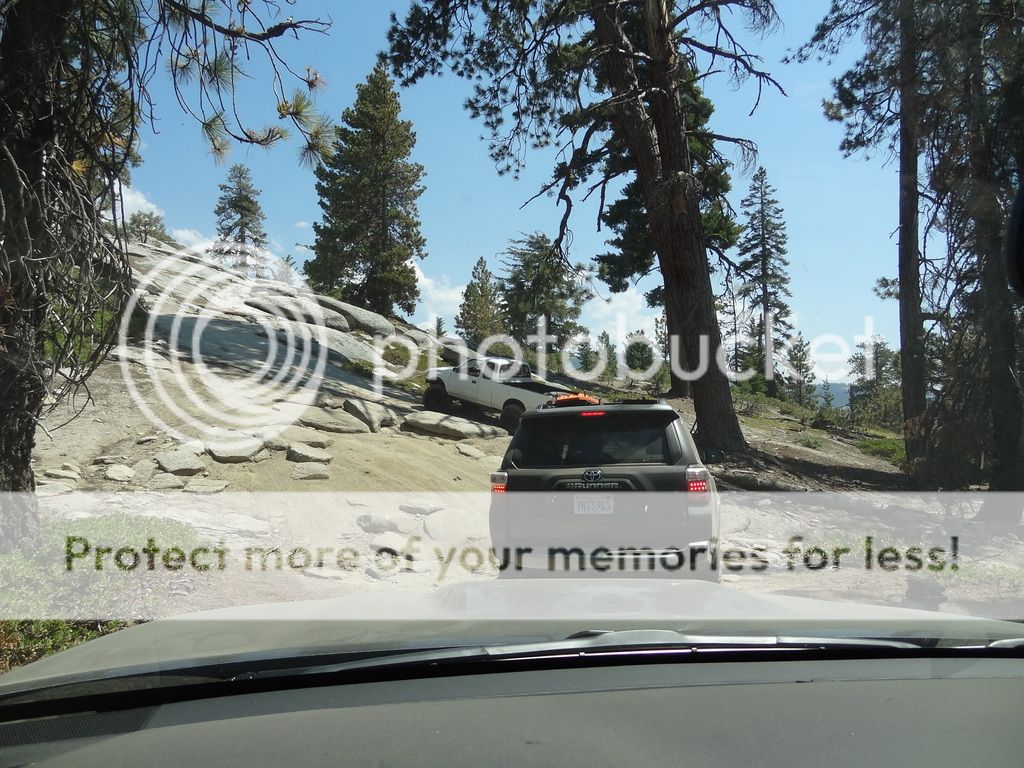
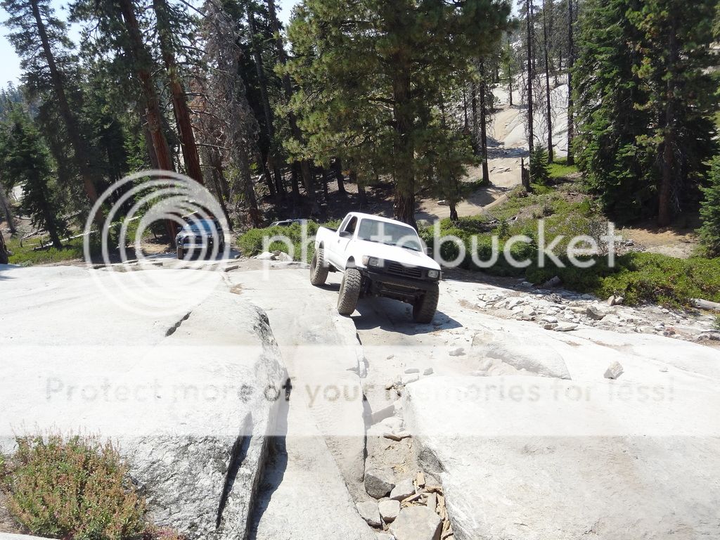
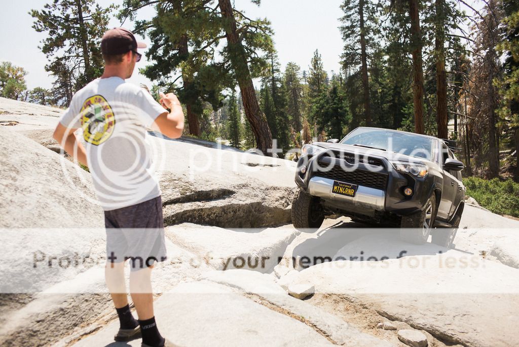
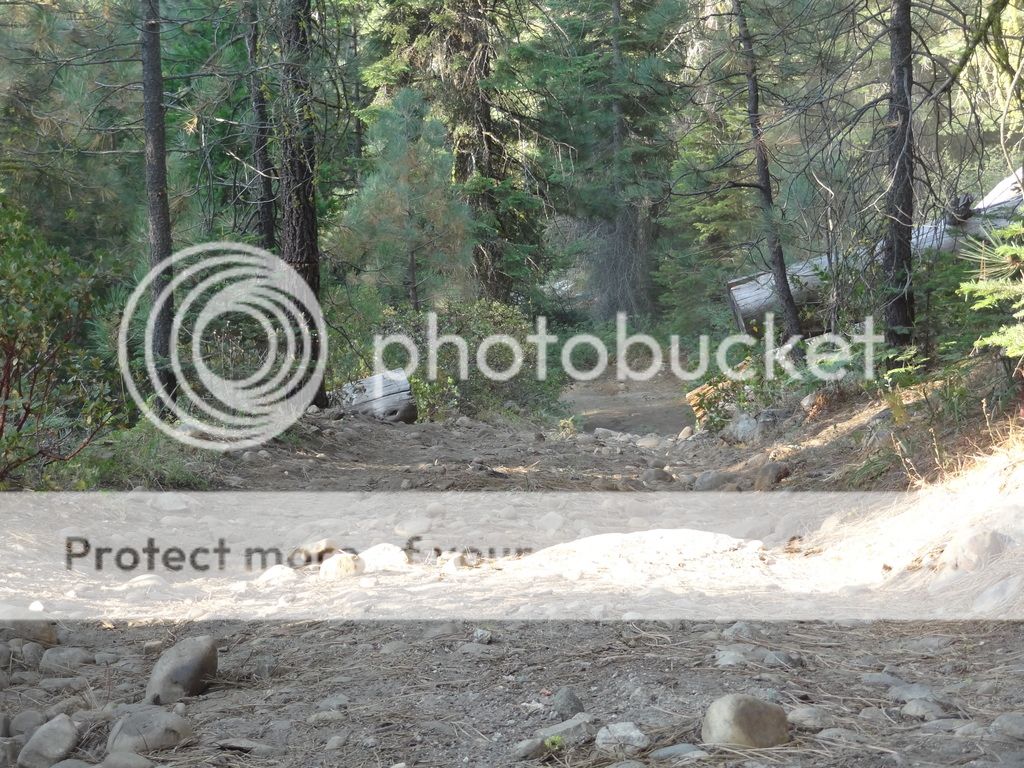
We made a few other quick stops on the way up to Upper Lola Montez lake, places I had stopped before and wanted to see again, or check if gates were now open (they weren't). This is the what most of the road looks like heading up the mountain


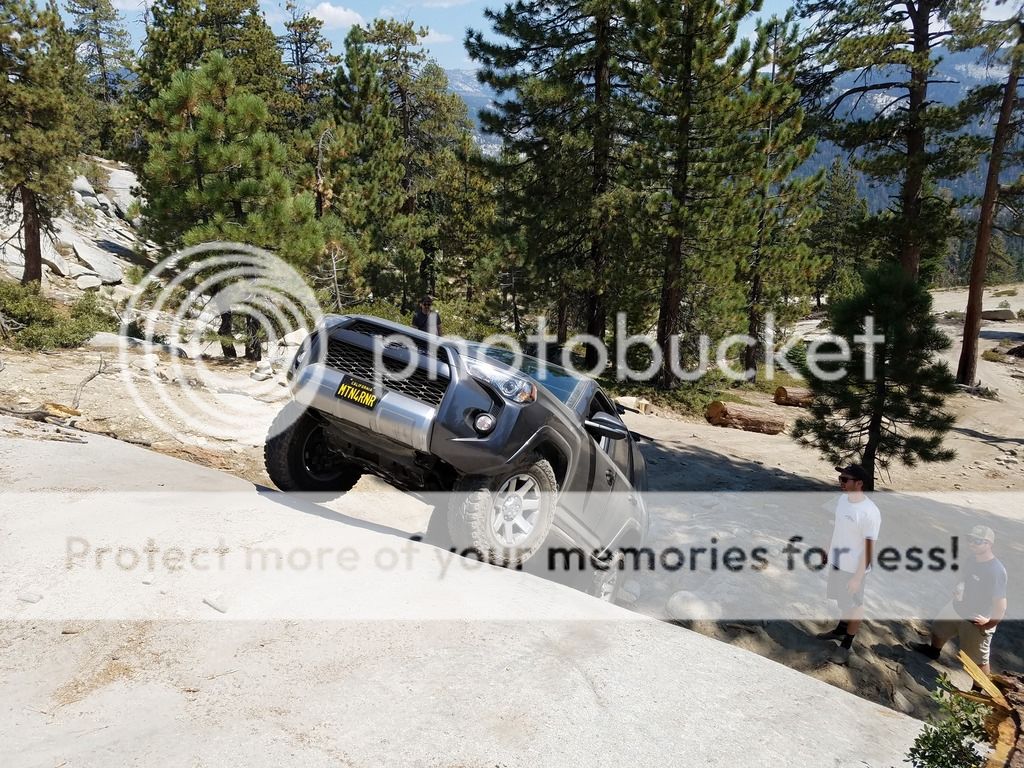
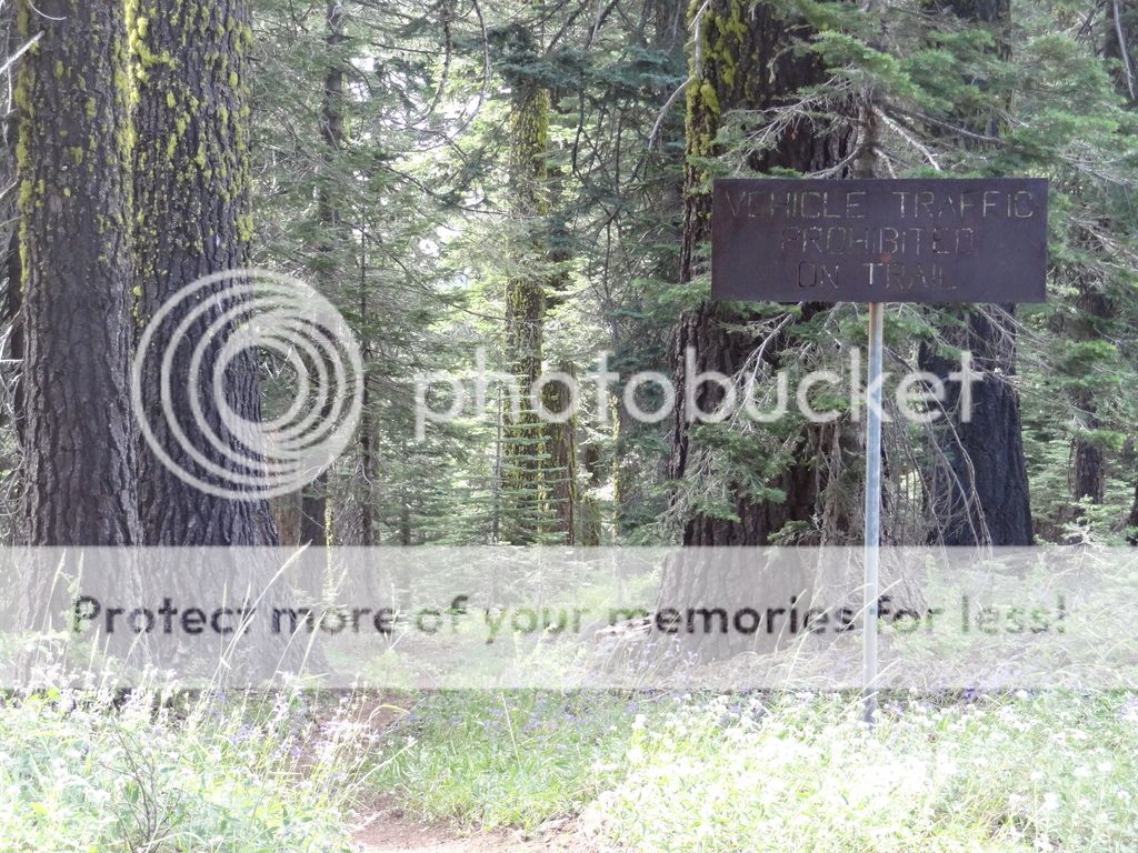
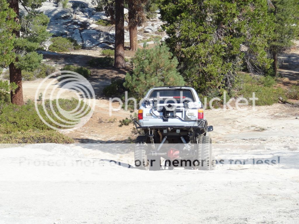
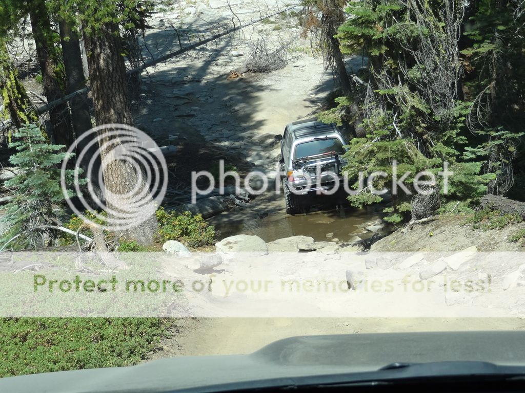
The only obstacle on the trail was a long lasting snow drift that would have been drivable, but it had a sweet drop into mud on the other side. So we opt'd to drive up and to the right of the trail, around a tree, and back on to the road


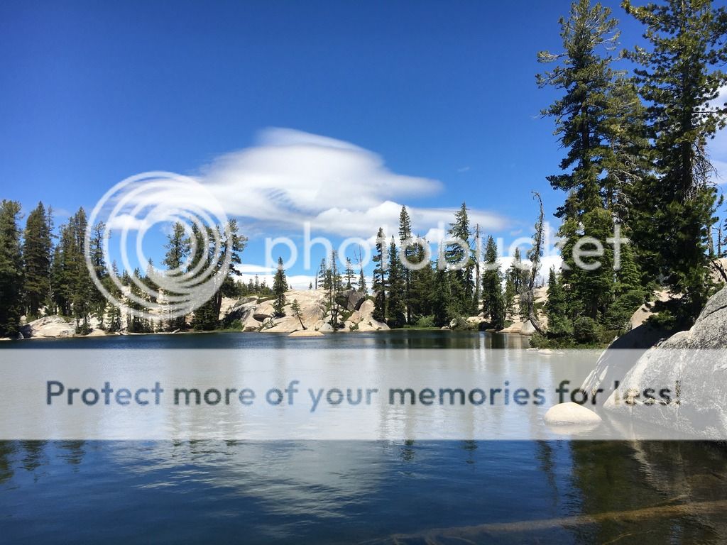
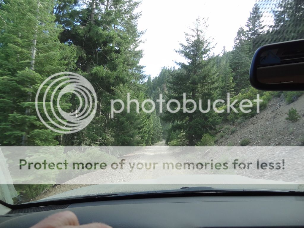
Shortly after passing the snow drift, we twisted down a narrower section of trail, and ended up at the lake. This was exactly what we were looking for, except no fish. We found out that this lake was never stocked, but the lower lake about a quarter miles and 600' downhill was. We decided this was a great chance to have a beer, smoke a cigar, and eat lunch before making our way to Fordyce Creek.


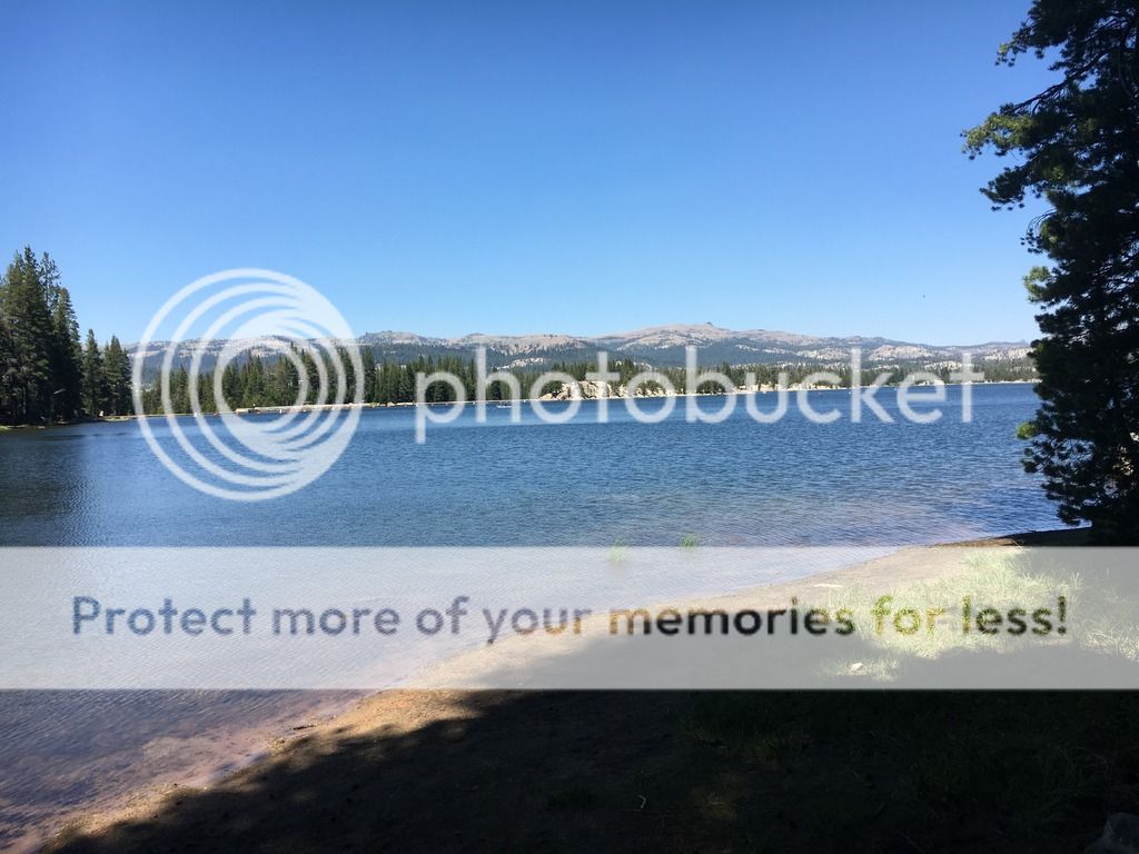
Lower Lola Montez Lake


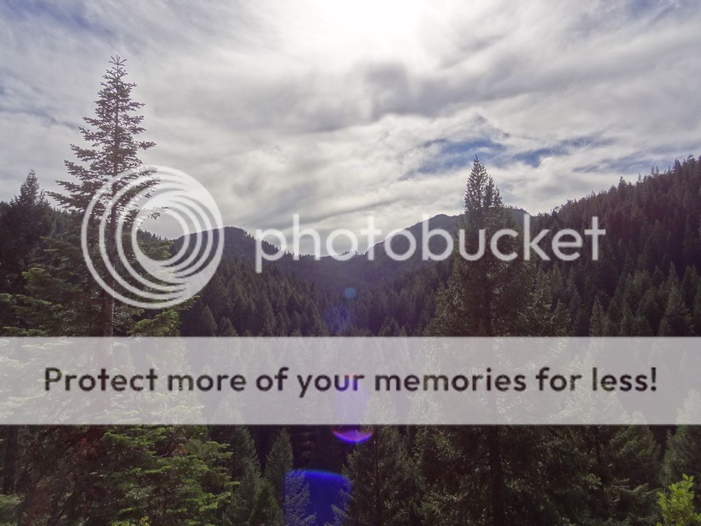
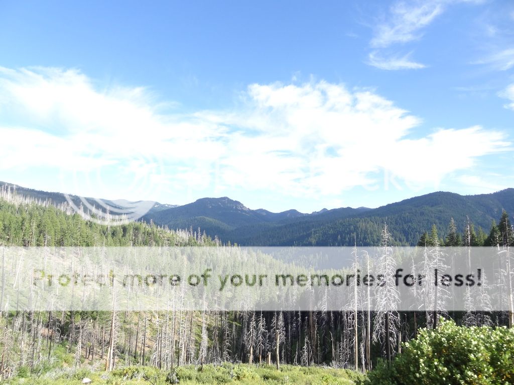
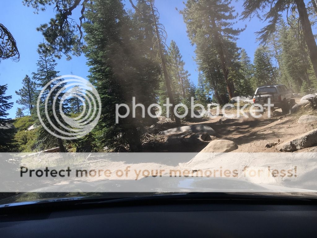
Heading out, we made our way to Lake Sterling, which was wiiiiiindy. No fishing here, but there were definitely a few great campsites I noted on my Gaia GPS


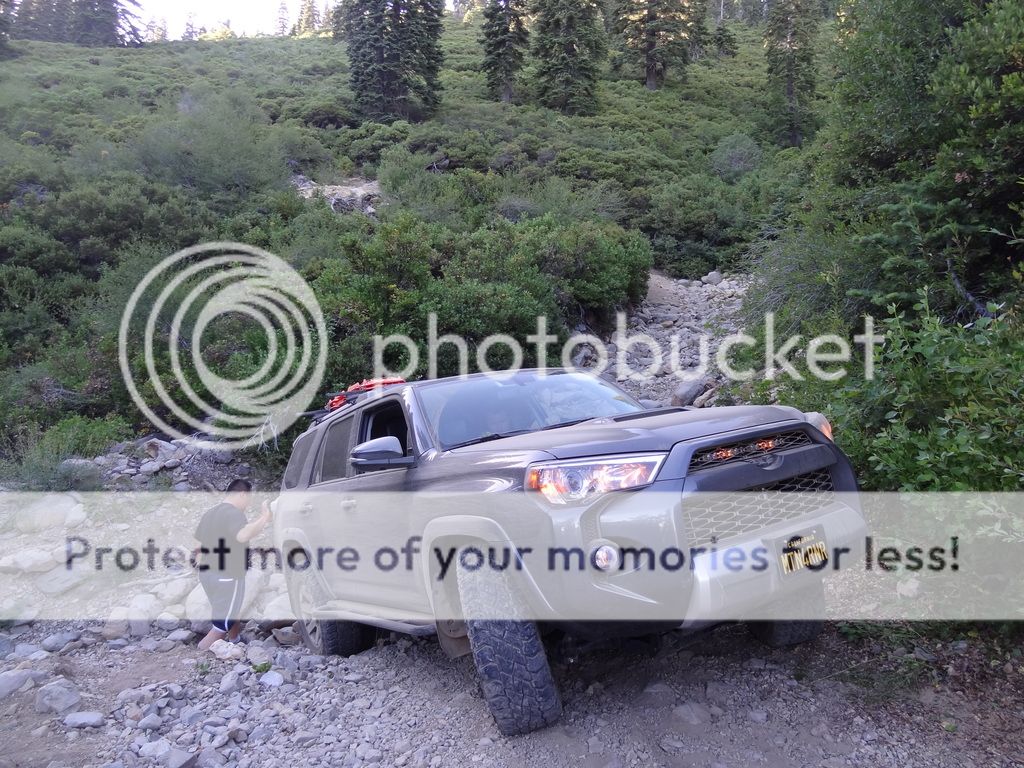
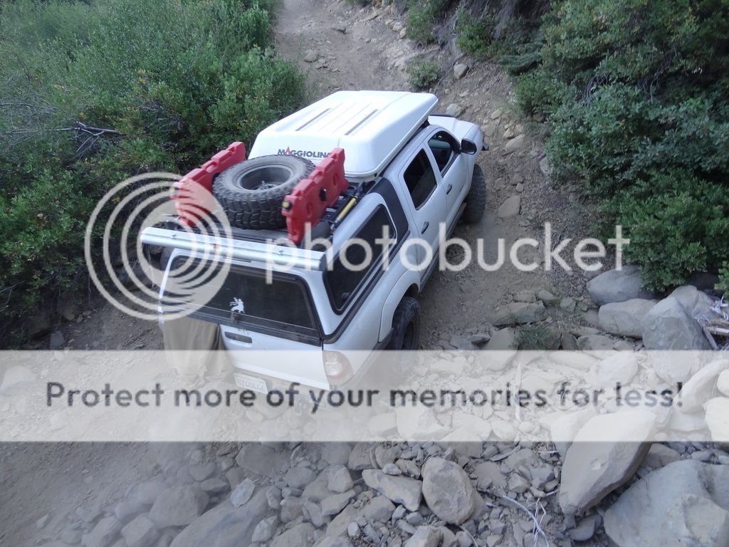
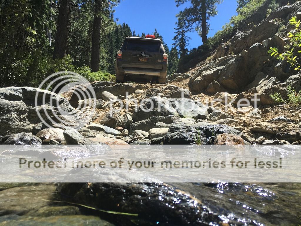
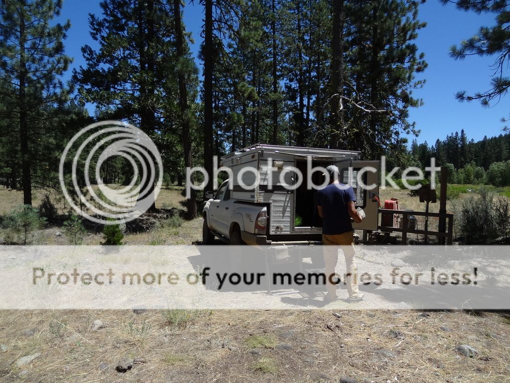
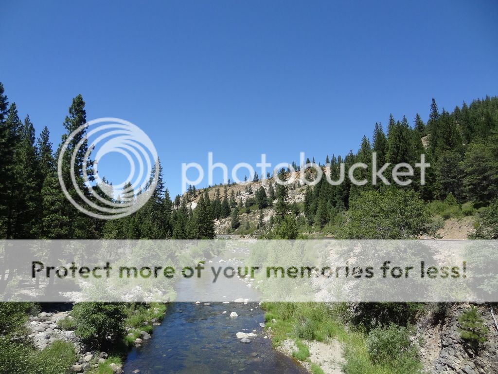
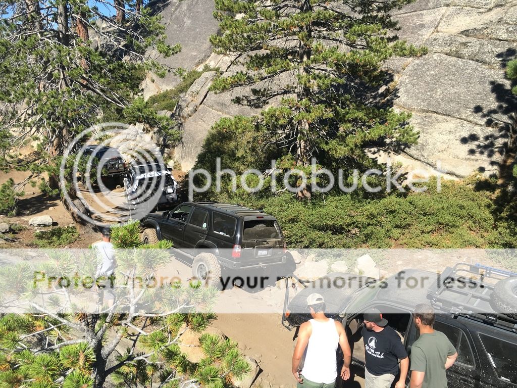
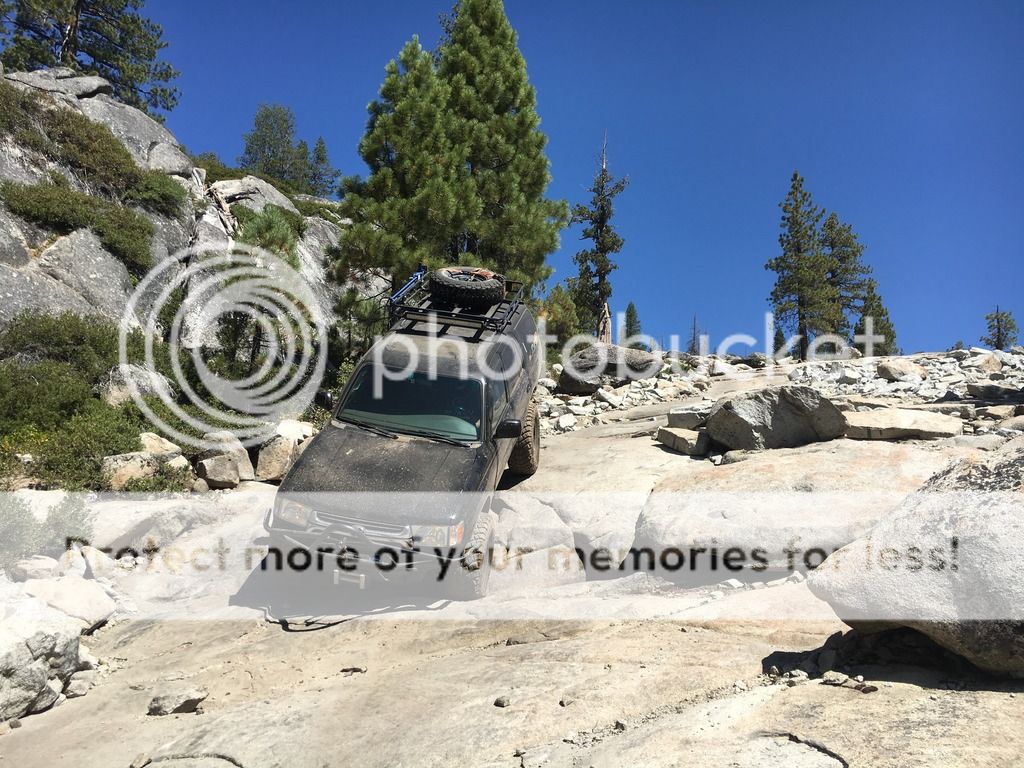
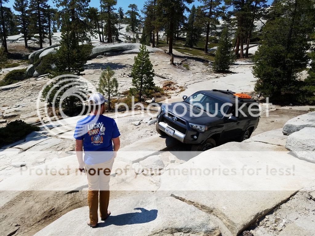
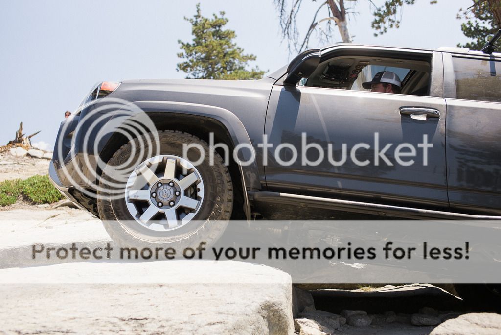
Leaving Lake Sterling, we went down to Fordyce Lake, the dam, and eventually Fordyce Creek. This is the home of the famous Fordyce Trail, which extends from Eagle Lakes, through the Fordyce Creek a number of times, across some big boulders, and up a few winch hills all the way to Fordyce Lake. I don't think that my 4Runner will ever see that trail, but I would like to eventually join up with a group and spot/photograph it some day. The road down to Fordyce Lake is a but dodgy at the top with a couple of small rock gardens to navigate. The 4R had no problem, but found the front skid a few times, [insert need a lift comment here].


At lake level, we looked back to see the waterfall that comes from Lake Sterling up above on the ridge line, into Fordyce Lake.


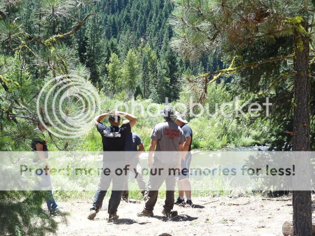
We reached the dam, and took a hike to the bottom to the creek to hunt for some trout


It took some finding, but I found what we were looking for. Size doesn't always matter


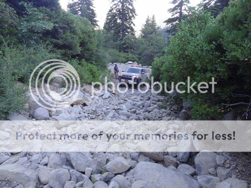
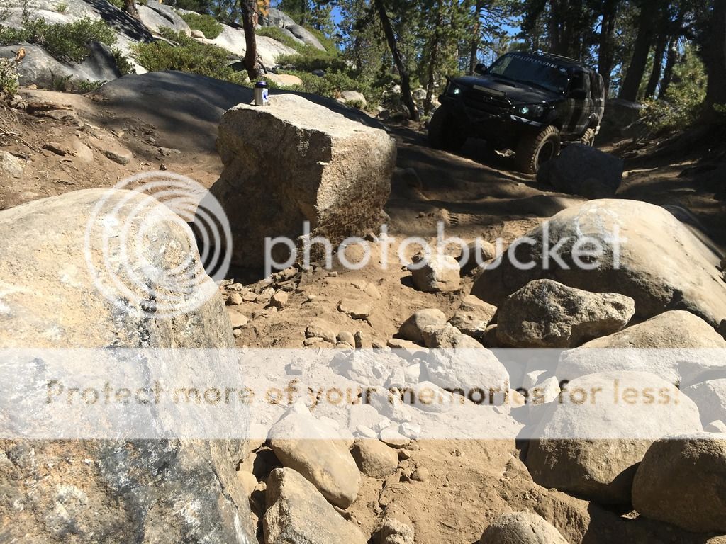
We released the fish for the afternoon, and headed back up the back side of the dam to the 4Runner, packed up our gear and made our way back out and up to Fordyce Summit. The drive out was very smooth, and using the MTS with "Rock" setting kept the traction in check as we made our way out. I hadn't used it yet, but this seemed like a good time to try is out as the majority of the drive out was small rocks. I think it performed really well and the MTS reduced/eliminated the CPU's need to throttle back when the tires slipped a bit. I was impressed, and will definitely experiment with the system more.


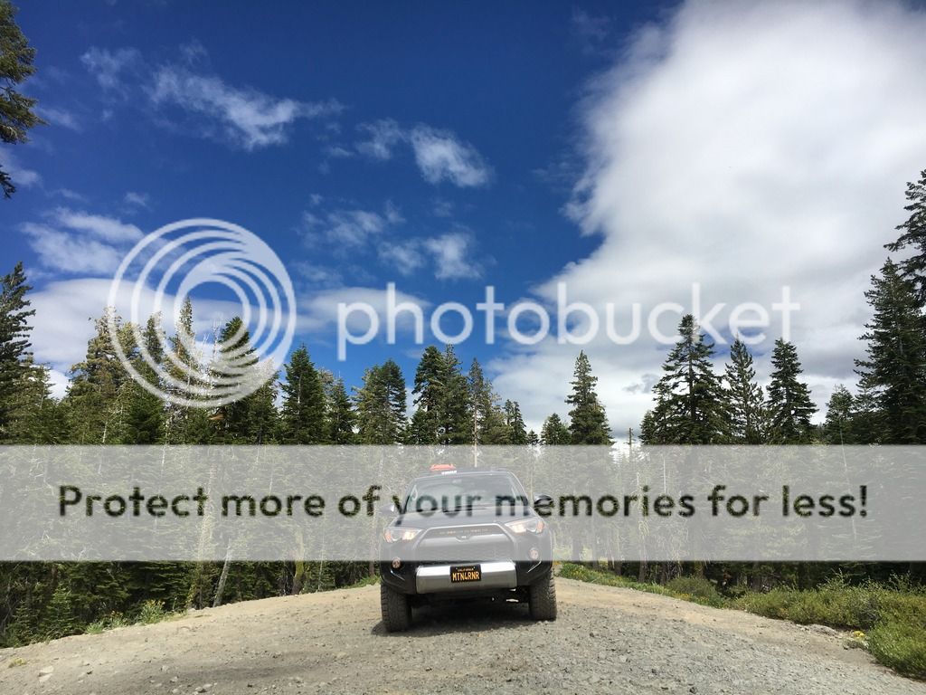
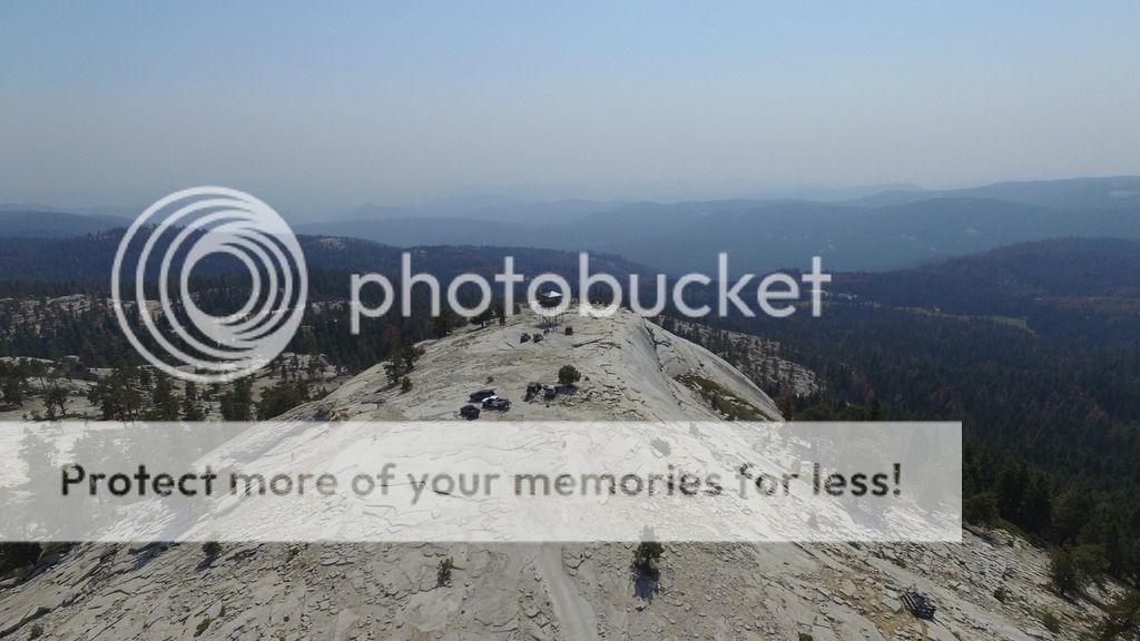
We didn't have enough time to run Signal Peak from Fordyce Summit like I had originally intended, but I will save that one for another trip. I will certainly be back to this area, hopefully for a night or two.


More to come...


MTN4RNR

Rank V
Launch Member

Advocate II

1,750
Bay Area, CA
Member #

0614

Downieville to Sloat - July 2016
A while ago, my buddy Andy mentioned to me that he would be putting together an “expedition” to travel the Backcountry Discovery Trail in Plumas National Forest. He convinced me that it was something I needed to do, so that’s what I did. I looked at the calendar, picked the dates I could join along, and booked it. I would be joining on the first leg from the town of Downieville to Sloat, approximately 60-70 miles north. The only roads between the two points that we were going to take were dirt, because that’s just how Andy rolls. And I have never been the type to argue over getting dirty. So join along as I share some photos and dialogue of my portion of the trail.


I met Andy and his dog twin Taco in the Bay Area at a donut shop early Saturday morning. Well stocked and anxious, we left and headed through San Francisco (Taco’s first time over the Bay Bridge), and east on Interstate 80. Stopping in Fairfield, we met up with Phil, an Expo/Tacoma World member and his 2nd generation Tacoma/Four Wheel Camper combo. We then met up with Alvin and his 1st generation Tacoma along with his co-pilot Eric, both Tacoma World members. One thing that we did notice, we all had Cooper Tires; Andy with STT Pros, Phil with ST’s, Alvin with STT’s and myself with the ST Maxx’s (fitting). After a brief chat, we took off eastbound on I-80 towards Auburn. There was a bit of radio chatter discussing the rigs, and the route planned on the way up, and ultimately we ended up in Auburn traveling North on Highway 49. This area was very familiar to me as my family has land and a cabin not 15 minutes from 49. We passed through Grass Valley, Nevada City, and then followed 49 on to Downieville. This was new territory for me as I had never been past South fork of the Yuba River before. In Downieville, we agreed on some pizza and a quick fuel up before heading to the beginning of our off-road journey.


Taco ready to go in his section of the truck


2 Rig convoy


Phil joining the group in Fairfield


Heading North-East on highway 49


We had to “hunt” for gas in Downieville because we clearly missed the small station on the way in, but after a quick shout out to someone on the street, we found it


I parked next to a bridge crossing the Downie River before heading in for some good pizza before hitting the trail


A quick air-down at the trailhead, and we were on our way!


The theme of this trip was to make it to the campsites in a reasonable amount of time, but anywhere along the way was subject to change on the fly. We made our way up the first fire road, took a quick offshoot that looped out and back from the main road, and then reached an intersection. The Motor Vehicle Use Map (MVUM) showed the trail being 4x4 accessable, but a forest service sign at the beginning of the trail noted the trail as being ATV/Motorcycle. We decided to venture up the trail to see if things got too tight. We fought through some narrowing spots on the trail until we reached a section that was really tight, and mostly manzanita which isn’t forgiving on paint. Everyone in the group was ok with the pinstriping, except for me. I am more than willing to scrape along a trail, but this was too much. I took my shaming as we headed towards the top on foot to catch the view.


The “narrow” part of the trail


The view towards the Sierra Buttes


After getting back to the trucks, we drove to the last intersection where we diverted, and made our way to the next waypoint, Saddleback Mountain Lookout. It was an entertaining ascent to the top at nearly 7,000’ elevation. The lookout itself was manned by a Forest Service employee and his wife and son. He was the relief watchman and was there for a 4 day stint. Talk about an epic job. We got to tinker around with some of the tools up there, my personal favorite being the Osborne Firefinder. Talk about a cool tool that was built almost 80 years ago! After chatting with the FS guy for a bit, and snapping a photo together, back to the trucks and on to the next bit; a 4x4 side trail.


Side note: I think that I am going to incorporate more of these Forest Service lookouts on my adventures, because they are just plain COOL!


  • Like
Reactions: Chris Zawacki

MTN4RNR

Rank V
Launch Member

Advocate II

1,750
Bay Area, CA
Member #

0614

Downieville to Sloat - July 2016 (continued)

So this side trail. It started as an out and back adventure because any good reason to use 4LO is highly encouraged. From the map, it led itself down a steep hillside, into a canyon below where we would in theory turn around and come back up. It led us through a pine forest before coming around a corner and pointing us down a straight steep section with large water bars into a sharp right hander at the bottom. That right hander put us into a rock garden. I had been dragging my belly over the water bars the whole way down, so seeing the rock garden made me nervous. Basically it boiled down to this: we weren’t backing out, or turning around before the rocks. With some encouragement, guidance, and the moving of a few rocks, I made my way down the rock garden to join Andy who ‘waltzed’ through it first. No problem. The fun part came when I noticed a tree a few hundred yards around the trail that only had enough room for a side by side. Time to turn around. Thankfully there was a small, off camber washout just on our side of the rock garden. We brought Phil and Alvin through the garden, and then proceeded to 5 point turn them around to point them up the hill. Alvin found that his Toyota wanted to make a groaning/grinding noise from somewhere in his front end in 4LO. And Phil killed it with his 6-speed manual. My turn came up, I made the turn around, engaged the locker and moved up the rock garden. Much to my surprise, with Phil spotting, my skid plate stayed skid free through this section (whew). Making the left hand corner up the loose gravel hill was quick, and I had to stop, back down and start again after losing forward momentum the first time. But the second time was the charm, up the hill and out of “the pit”. Andy made his turn just fine, and through the rock garden without any assistance (suspension upgrades allow you to do this). Eric and I were at the bottom of the hill, and caught a ride up on Andy’s slider. But because Andy always has tire problems when I am around, he was too close to the side of the trail and something reached out and tore his valve stem… He drove to a flat (by comparison) spot of the trail, and we changed the tire. Everyone on 4 tires again, we climbed the rest of the way out, and decided it was in our best interest to make our way to camp at Poker Flat which was a easy drive along a ridge and down into a ravine with a creek at the base.


Sunday morning breaks, and we combine breakfast, coffee and clean-up into one motion. There were a couple of local guys in the campsite next to us at Poker Flat that gave us some good intel on the area. Andy talked to them about route planning, and I talked to them about good fishing in the area. All packed, we took a group photo, and hit the trail. The first leg was a 1,600’ climb out of the campground to the opposing ridgeline. It was a steep climb that followed a trail that had been carved into the mountain. Loose gravel, mud, roots and ruts. It was a great way to start the day. Our first stop for the morning was Howland Flat. A late 19th, early 20th century mining town that lays in ruin. We arrived at the cemetery first, meeting with our camping friends from the night before. We all looked around and visited the number of headstones remaining although according to our local friends there used to be many more as early as a few years ago. We still had many miles ahead, so we moved on. I would like to return to this area via La Porte again to spend some more time around the other buildings that remain in the area.


Last edited:
  • Like
Reactions: Chris Zawacki

MTN4RNR

Rank V
Launch Member

Advocate II

1,750
Bay Area, CA
Member #

0614

Downieville to Sloat - July 2016 (continued)

We moved on to a fun 4x4 section that we heard had some technical sections that pointed us towards a lake visible on the map, our potential lunch destination. As it was a new day, a side trail was in order. We left the main trail, and wound down a trail to where we thought might be a creek. But in this case, maps lie. We pulled an about-face to reconnect with the main trail. Back at the top, we stopped to enjoy the trail, and to take a photo op. Back on the main trail, we came to a technical section that required some spotting. The other guys had no issue with the help of a spotter, I was last and worried about clearance, again. And again, with good spotting and the rear locker engaged, I made it through without a scratch. I got out with a huge smile on my face. Stock suspension and a tire upgrade. Holy shit is this thing awesome. We were just around the corner from our lunch spot at the lake. But it happens that the lake we were looking at was a retreat location for churches and thus private property. But we made good use of the area outside the gate for our lunch. Eating on the back of my truck with other people that enjoy these trips as much as I do, is nirvana. It’s the simple things. A beer, a burrito and good conversation.


Last edited:
  • Like
Reactions: Chris Zawacki

MTN4RNR

Rank V
Launch Member

Advocate II

1,750
Bay Area, CA
Member #

0614

Downieville to Sloat - July 2016 (continued)

We were now on a larger road, more consistent with a fire road heading towards Duck Lake and where we would cross the Pacific Crest Trail. When we reached the lake, there was a family there. A husband, wife, and their teenage daughter. They had left the southern most starting point of the PCT in MARCH! My weekend adventure just began to seem extremely small. They had hiked through the heat in the desert like southern portion, the snow in the mountain passes, and the high elevations that fluctuate daily. I have looked into the PCT myself, but talking with these people about their trip made the adventure sound incredible. If you want to check out their blog, click here. We crossed, the PCT on our way out, as I made a waypoint for a place to get our Christmas Trees this December. Future trip, booked! Our planned camping site for the evening was Harrison Flat, about 3 miles away. Down the road we go.


This is what driving behind Andy looks like….


Basalt columns, similar to Devil’s Postpile in Mammoth.


MTN4RNR

Rank V
Launch Member

Advocate II

1,750
Bay Area, CA
Member #

0614

Downieville to Sloat - July 2016 (continued)

We were very close to Harrison Flat when Andy had another run in with a tire monster. This time, it was a small puncture to the sidewall. Obviously it was my fault, because I am the bad omen to Andy’s tires, always. With this new issue, we decided that skipping Harrison Flat was the best plan, and our new destination was the Middle Fork of the Feather River, in Sloat. We threw some extra air into Andy’s tire, and hit the road. The road wandered along the ridgeline and down the mountain with some spectacular views of Mount Lassen in the distance some 60 miles away. We came out of the forest, and into a burn area that had cleared the land some years ago. With plenty of new growth, coming back here in the next 10, 20 years this road will have a completely different scene. We remained mostly fire roads down to Sloat where we looked for a place to camp along the river and only found one small section that was technically in the National Forest. We found a spot not far from the river, between the water and the railroad tracks to set up for the night. A camp fire, food, and a dip in the river. After dark the sound of a locomotive in the distance prompted me to borrow Andy’s camera for a few night shots of the passing train. Then, it was time to call it a night.


  • Like
Reactions: Chris Zawacki

MTN4RNR

Rank V
Launch Member

Advocate II

1,750
Bay Area, CA
Member #

0614

Downieville to Sloat - July 2016 (continued)

In the morning, we headed into Quincy to have Andy’s tires repaired, and for me to fill up on gas. Driving on the road into town with 20psi was….fun…. But after our stops, we went back to camp to wait for the two new rigs that would be joining the rest of the group on the way to their next destination. I took a refreshing swim in the river with everyone before Andy went back to the road to meet up with the others on the highway to bring them to camp. They came back down, and got a chance to hang out for bit while we finished cleaning camp. Then it was time to hit the road. Unfortunately, while everyone continued down a dirt track, I headed to the highway to air up and point towards Truckee. This was the end of my portion of the trip. While it feels short lived, this trip gave me great insight to an area that I had never been to, and a few new friends that I would like to travel with again. I had 275 miles to cover to get home. And hopefully soon, 275 miles to bring me back.


More to come…​
 
  • Like
Reactions: Chris Zawacki

MTN4RNR

Rank V
Launch Member

Advocate II

1,750
Bay Area, CA
Member #

0614

Slick Rock/Corral Hollow - August 2016 (1 of 3)

This weekend, I took a day-trip up highway 4 in the Sierras with a group of Expedition Portal members. On the to-do list for the day: Slick Rock, Corral Hollow. I decided after talking with a friend who had recently been to Slick Rock that I would be sidelining my 4Runner for the trail, and riding along with V_man. I had been told that the trail had gotten considerably tougher over the winter due to the mother nature’s placement of some good sized boulders. I do have a set of bomb proof sliders, however, my lack of ground clearance and skid plates forced my decision. I was thinking that I would be bummed to not be able to tackle the trail myself, but the day went very well and I saw great benefit in walking the trail, spotting the other drivers, and observing how their rigs navigated the trails. Rockmpr was great to watch as he has the future incarnation of what I want my 4Runner to end up looking like. Getting the opportunity to spot a solid axled 2nd gen, a 5th gen, and two 3rd gens, really showed me the differences between these generations of the 4Runner and it helped me learn how to run different lines with different gear. All around, a great learning experience.


5am start time from the Bay Area


Cruising some back roads to avoid road closures through the central valley


Coffee stop in Copperopolis, thanks for the new (to me) caffeine stop, V_man!


Trail fuel


Arrival in Bear Valley


I had to park here, but I found another 4Runner to park next to, and because there was a Search and Rescue training day basing out of Bear Valley that day, the parking lot was full of Sheriff vehicles from many different California counties. Safest. Parking. Ever.


We met up with the rest of the group at Slick Rock, and pup and I got ready for our hike down the trail.


Things look smaller up here in V_man’s tall rig


MTN4RNR

Rank V
Launch Member

Advocate II

1,750
Bay Area, CA
Member #

0614

Slick Rock/Corral Hollow - August 2016 (2 of 3)

“I eat diff’s for breakfast” -Boulder


This was a technical section of the trail, that require high clearance, good spotting, and a bit of a squeeze at the end. The only damage were some scraped diff’s (see above photo), and a bit of rear quarter panel damage on Rochmpr’s 5th gen.


(This is where I stopped being a photographer, and became a spotter)


Moving along…


(Note: Will add more photos of “the staircase” here when I get them from V_man)

 
  • Like
Reactions: Crispy

MTN4RNR

Rank V
Launch Member

Advocate II

1,750
Bay Area, CA
Member #

0614

Slick Rock/Corral Hollow - August 2016 (3 of 3)

We ran into a T4R member (Magnetic4R) outside Union Reservoir


We made Union Reservoir the mid-day lunch spot


We then headed back to my truck, and up the Corral Hollow trail


We found a great vista point for some photos and droning


With keeping our drive back home in mind, we departed and headed back to the highway


The bittersweet air up at the end of the day. I cannot wait to re-visit Slick Rock when I have upgraded my suspension and my undercarriage. As for the Corral Hollow, I would like to come up when winter hits (and the trail is still open) to run it in reverse with hopefully less dust to deal with. Great day with great people. What more do you need?


More to come…​
 
  • Like
Reactions: Thomas

MTN4RNR

Rank V
Launch Member

Advocate II

1,750
Bay Area, CA
Member #

0614

Bald Mountain OHV - August 2016 (1 of 4)

Last weekend I took a re-visit to Bald Mountain OHV. If you remember, I went there last winter for the first annual Crawl-to-the-Top snow trip that ultimately ended in a big, old fashioned cluster. It was probably a good thing that we never made it to the trailhead that day, but I have been wanting to head back since. @v_man and I hatched a plan to head to the mountains, and make a day of it. I invited TheKent, and a buddy from college, Cam, who invited his friend Kayden.


Driver/Rig:

Vincent (v_man): 1990 Toyota 4Runner on 37” of awesomeness

Wes (TheKent): 2016 Toyota 4Runner Trail and my truck’s twin

Cameron: 1996 Toyota Tacoma with some sweet custom graphics

Kayden: 1987 Toyota Truck that just keeps truckin’

Max (MTN4RNR): 2016 Toyota 4Runner Trail that is used but not abused


We left the Bay Area early, itching to get higher in elevation. Wes and I would make it an overnight trip but for the others, it was a day trip, so time was precious. I met Vincent at 5am and we hit the road, meeting the others in Gilroy at 6am. A quick introduction, Vincent’s second cup of coffee, and a stretch; we were on the road, East bound!


Because half of California is on fire, the sunrise was a deep red color as it rose over the horizon when we came over Pacheco Pass.


Around 9am, we made it to the trailhead and after a quick air down and run around with the dog we hit the trail for a quick warm up on a nearby granite slab before starting up Bald Mountain. We opted to take the “North Route” up the hill as we had heard that it was the more challenging direction, and after reaching the summit we would return on the “South Route”. That being said, none of us had been to the area before, so there was a certain amount of error expected when we set off. And about 5 minutes into the journey, we realized we had started down the South Route, and had to back-track to the beginning of the North Route.


Cameron was really excited to get out in his Tacoma. This would be it’s maiden off-road voyage with him, although he has had plenty of Toyota off-road experience before this having owned a few late 80’s 4Runners prior to the Tacoma.


PC: v_man


Yes, that’s right. Water. In a creek. In California. Weird.


PC: v_man


MTN4RNR

Rank V
Launch Member

Advocate II

1,750
Bay Area, CA
Member #

0614

Bald Mountain OHV - August 2016 (2 of 4)
This was a fun section of trail that was quite technical. Vincent, naturally, walked over it without a spotter (likely in 2wd, because he can) and then came back to spot the rest of us that were more gravity challenged.


PC: TheKent


PC: TheKent


PC: v_man


Here comes the point in the trip where I was feeling good. I had crawled over a few sections that I didn’t think were going to be doable. Confidence was high. I watched Vincent crawl up and over this rock face. When he then turns to me and says, “You should try it”. I looked at the obstacle, and at the 4Runner. Basically, I thought that it likely wouldn’t work, but if it did… It would blow my mind. Here’s the view from the driver’s seat 30 seconds later…


And Wes’s point of view…


PC:TheKent


I learned what I can’t do, well, at least not now. So, for the first time, the 4Runner needed the winch. Thanks to Vincent, it was a quick pull and I was over the top with only some mangled plastic on the rear bumper, a munched tail pipe, and a big smile to show for it. I didn’t make it over the obstacle, but then again I didn’t really expect to. Considering the only off-road upgrades done to the 4Runner at this point are tires and some sweet sliders. Not dissapointed.


PC: TheKent


Moving closer to the top, there was an obstacle that only Vincent could attempt, and he needed multiple attempts. But ultimately he made it over with a little “Skinny pedal, skinny pedal”. I did NOT attempt this line, because we just went over what happens when Max follows Vincent up rock faces.


A tale of two lines…


MTN4RNR

Rank V
Launch Member

Advocate II

1,750
Bay Area, CA
Member #

0614

Bald Mountain OHV - August 2016 (3 of 4)
Finally, we reached the top, and the lookout tower.


PC: v_man


PC: TheKent


The platform slide out got it’s shake down in the form of a summit PB&J and a beer


From the tower


Time to head back down. We moved a bit quicker on the downhill, so there are a few less photos to share, but when I come back, I think I’ll run it reverse to keep it fun!


We reached the bottom of the hill, the rest of the gang aired up, we said some goodbyes, and they hit the road. Wes and I turned around and made our way towards Dinkey Creek for a campsite, and HOPEFULLY a swim in the creek.


This looked promising…


Yep, it was a win


A quick dip, and some dinner and it was time to turn in for the night


PC: TheKent


Side note: I finally got to sleep flat in the 4Runner thanks to the 4Runner Platform I designed and built (more on that in a day or so) and holy crap. Game changer.

 
  • Like
Reactions: Crispy

MTN4RNR

Rank V
Launch Member

Advocate II

1,750
Bay Area, CA
Member #

0614

Bald Mountain OHV - August 2016 (4 of 4)
In the morning, it was a quick cup of coffee for me and a sleeping zone tear down before hitting the short trail to the pavement.


After some air, we hit the road where Wes would take a different route than I was planning. So after leaving the (half dead) pine trees behind, we said goodbye and headed our separate ways.


I saw a SWEET old cab over tow truck in Los Banos


Maeve and I stopped at the California Canal crossing


Someone should change this sign….


Then it was one more push to get home. This was a great weekend full of new challenges. The 4Runner has yet again amazed me, and others in what it can do on stock suspension. I cannot wait to see what it can do with a suspension upgrade and some skid plates…


More to come…