

Enthusiast I
Sorry for the late post here but I completed a gpx file of the Trans Massachusetts Trail in western Massachuesttes that I completed in November. This trail is a combination of dirt roads, some of which are seasonal, and paved roads. This is a great beginners trail as it is very easy so complete in any 4x4 vehicle. The trail did take about 6 hours to complete due to just driving slow and taking in the sites along the road. The TMT starts at the Connecticut/Massachusetts border and heads north to Greenfield, MA. I am sure you could connect this trail to other roads to make it head into Vermont but I did not have the time this day to keep going.
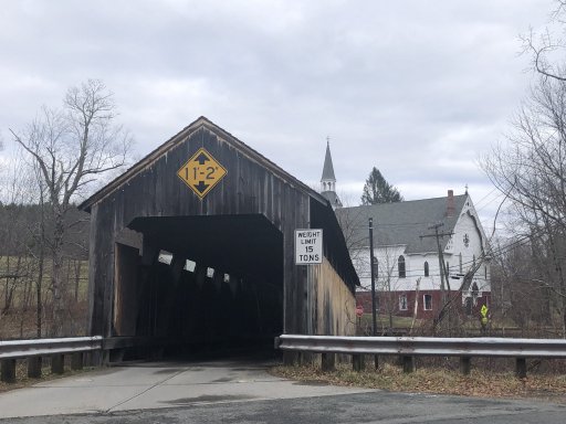
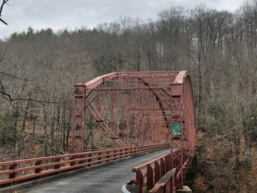
During this trip you come across a nice wooden covered bridge and a very old arched bridge both of which are one lane.
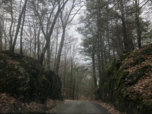
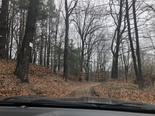
There are a few areas where the road gets less traveled and takes you deep into the woods in the Berkshire Mountains.
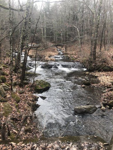
A little over half way through the trails you come across this nice waterfall and stream. This stream was a great place for me to stop and let the dog out of the truck to explore the stream.
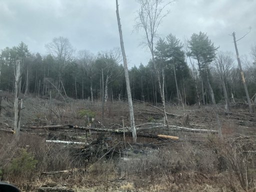
You will also come across an area of the trail that was hit by a tornado a few years back and you can still see the devastation to all the landscape that the twister caused.
Anyway this was a great Saturday afternoon and took most of the day to complete but was nice and relaxing. Hope you guys enjoy as I added the gpx file that I created for this trip.
GPX viewer
During this trip you come across a nice wooden covered bridge and a very old arched bridge both of which are one lane.
There are a few areas where the road gets less traveled and takes you deep into the woods in the Berkshire Mountains.
A little over half way through the trails you come across this nice waterfall and stream. This stream was a great place for me to stop and let the dog out of the truck to explore the stream.
You will also come across an area of the trail that was hit by a tornado a few years back and you can still see the devastation to all the landscape that the twister caused.
Anyway this was a great Saturday afternoon and took most of the day to complete but was nice and relaxing. Hope you guys enjoy as I added the gpx file that I created for this trip.
GPX viewer
Attachments
-
116.9 KB Views: 144


