Member III
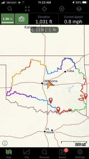
I decided to get some real "social distancing" today by doing a day trip on the OAT.
Started in Colbert and ended in Hugo.
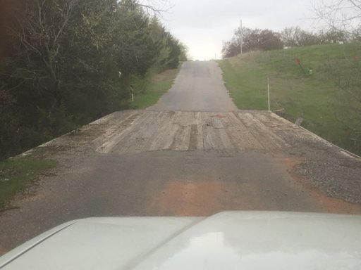
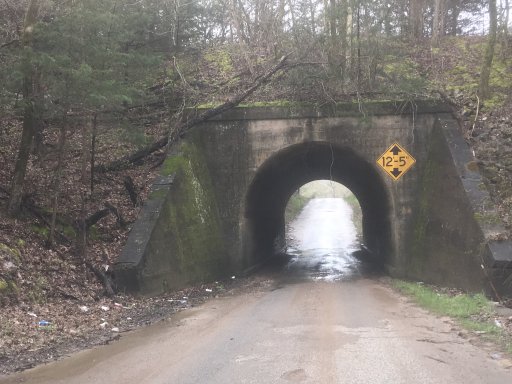
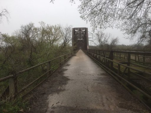
Came across this cool bridge that said it was made in 1905
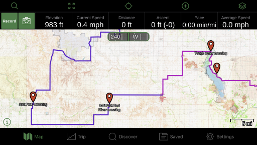
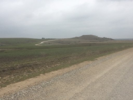
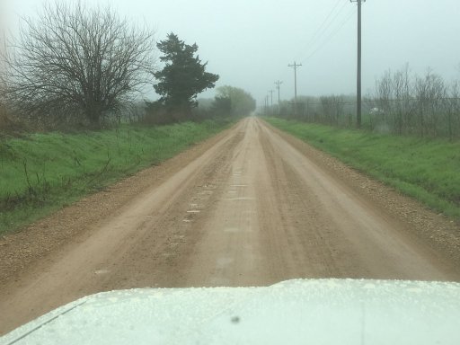
All the roads were passable but since it had been raining for the last week, there were a few places where it was a slop fest. Especially E2100. Sorry no pics because I was to focused on driving!
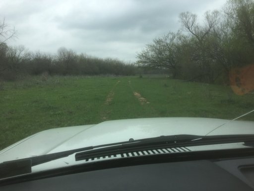
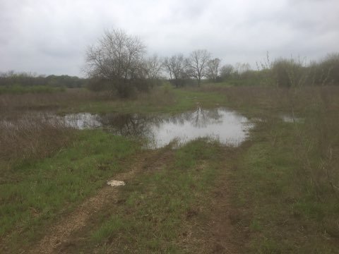
Baptized with Oklahoma mud...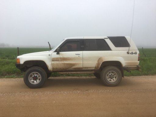
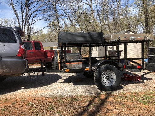
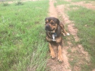
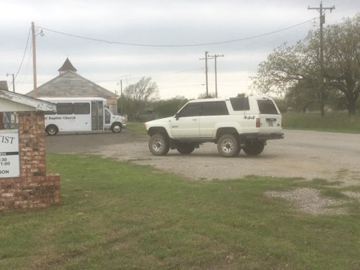
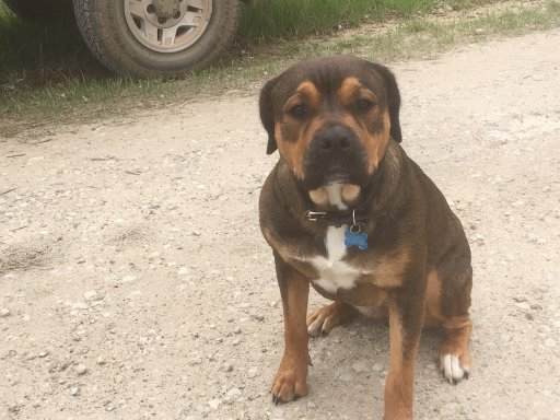
My co-pilot for the day.
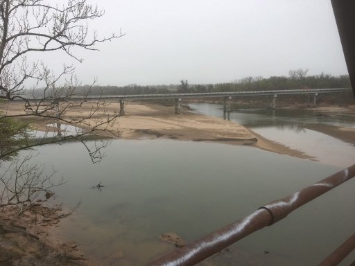
Finally got to see Carpenters bridge.
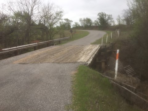
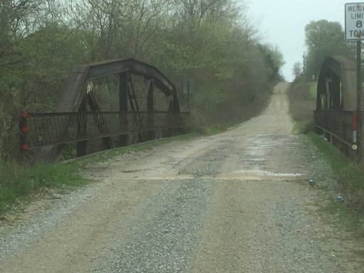
Lots of little old bridges like this on the route
Big fire as I was rolling into downtown Hugo. Looked like a restraunt.

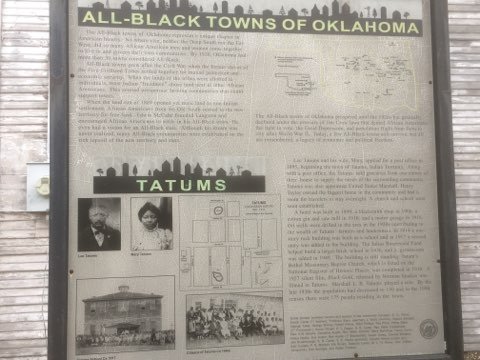
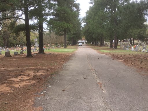
"Circus cemetery" very interesting indeed...
All in all it was a good trip. Good to get out of the house and get some fresh air. And even better to get away from the craziness for awhile.
Started in Colbert and ended in Hugo.
Came across this cool bridge that said it was made in 1905
All the roads were passable but since it had been raining for the last week, there were a few places where it was a slop fest. Especially E2100. Sorry no pics because I was to focused on driving!
Baptized with Oklahoma mud...
My co-pilot for the day.
Finally got to see Carpenters bridge.
Lots of little old bridges like this on the route
Big fire as I was rolling into downtown Hugo. Looked like a restraunt.
"Circus cemetery" very interesting indeed...
All in all it was a good trip. Good to get out of the house and get some fresh air. And even better to get away from the craziness for awhile.
Last edited: