Enthusiast III
- 1,777
- First Name
- Bryan
- Last Name
- Lavender
- Member #
-
29310
- Ham/GMRS Callsign
- KE5ATG
- Service Branch
- U.S. Marine Corps
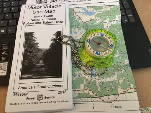
Since I'm not going to rent (also known as "subscription") land navigation software (e.g., Gaia, et. al.) without a lot better reason than anyone can currently provide, I looked for an alternative for use off-line. What I've found so far requires a little bit of prep work, but it does the job. This is good for smaller trips where you know in general where you're going.
My setup is a non-gps iPad (10") and a Dual XPGS160 (purchased through mypilotstore.com) The GPS connects to the iPad via bluetooth. The maps are free from USGS.
Is this cumbersome? Yeah, sure, but it is not hard to do. Time-consuming? Somewhat, but we're not in a race. Does it give us extremely accurate land navigation data? Absolutely. Heck, we used to use 1:50,000 paper maps and lensatic compasses to call in artillery fire, so this stuff is terrific in terms of accuracy!
Anyway, this is the current setup we use to avoid renting land nav software. Anyone else using a free alternative?
My setup is a non-gps iPad (10") and a Dual XPGS160 (purchased through mypilotstore.com) The GPS connects to the iPad via bluetooth. The maps are free from USGS.
- Pick your area.
- Go to the USGS Store (store.usgs.gov) to look around (there's a TON of interesting stuff there for map geeks -- or --
- Go to ngmdb.usgs.gov and narrow down using the controls until you have selected the map(s) you want. Choose the GeoPDF version and download it. (These PDFs are FREE.)
- Download the free version of Avenza Maps. This app in its free version allows you to keep up to 3 maps "loaded" in it's "memory". This app is actually recommended by USGS as compatible with their digital maps.
- Load your map(s) in Avenza, connect the GPS, and yep, there's a blue dot on the map.
Is this cumbersome? Yeah, sure, but it is not hard to do. Time-consuming? Somewhat, but we're not in a race. Does it give us extremely accurate land navigation data? Absolutely. Heck, we used to use 1:50,000 paper maps and lensatic compasses to call in artillery fire, so this stuff is terrific in terms of accuracy!
Anyway, this is the current setup we use to avoid renting land nav software. Anyone else using a free alternative?