

Advocate III
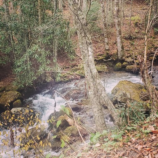
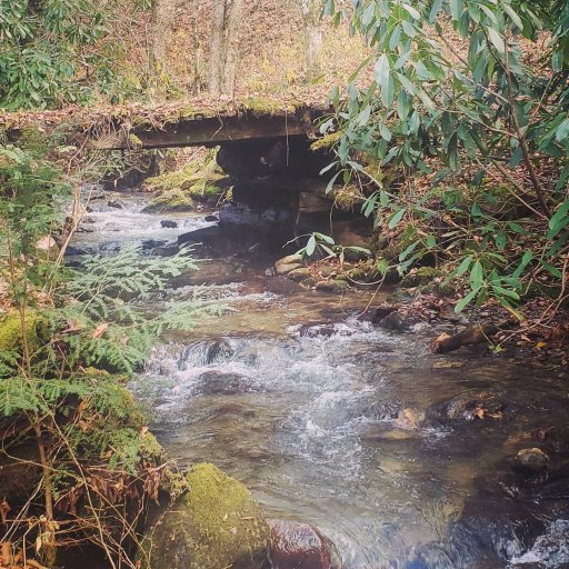
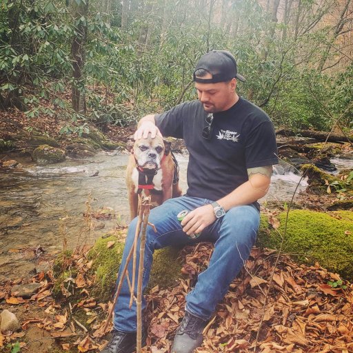
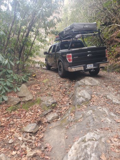
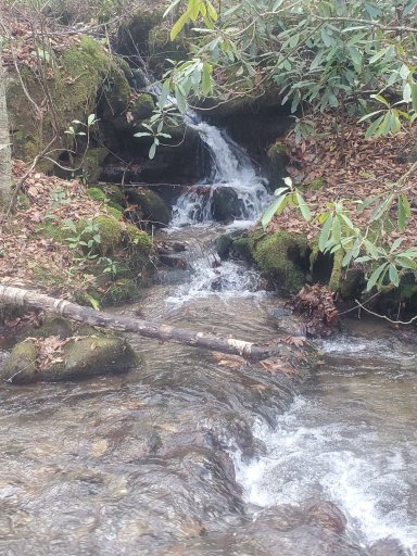
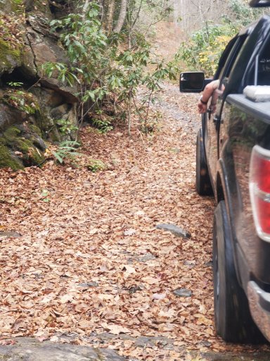
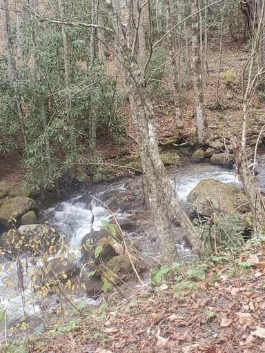
Tried to get everything together to make this post. I made a trip up to Cullowhee NC near the Western Carolina University campus. While I was up there I had researched a route some of the locals talked about on the LOST Jeep forum Called Caney Fork Rd. This road is a national park maintained road with several side trails branching off the main trail. The Rd starts off as a residential road with houses and such but then after a sharp right turn it turns to dirt. I used google maps to plan my route see the bottom link there is another road called Moses creek Rd/trail that comes off of Caney Fork. Moses Creek can be down as a loop or an out and back and depending on the time of year there are a couple water crossings. Both roads and side trails are clearly marked and a map can be had at the Nantahala National Forrest ranger's station.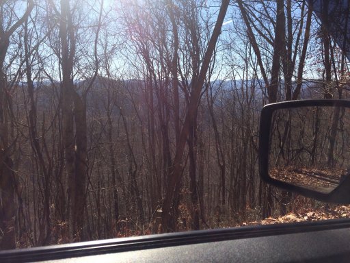
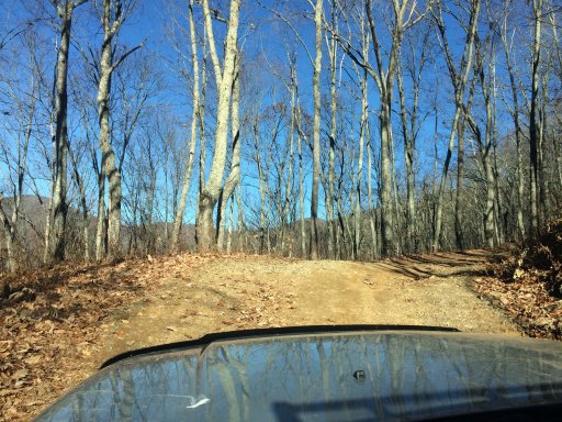
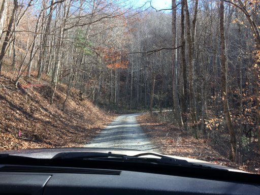
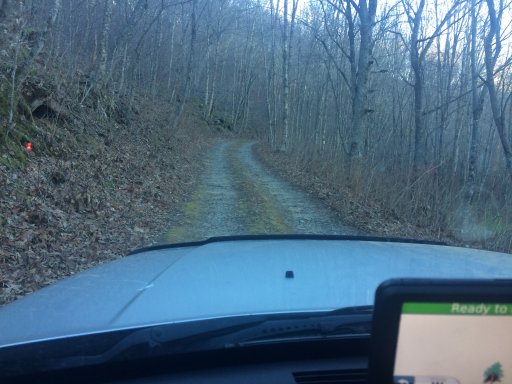
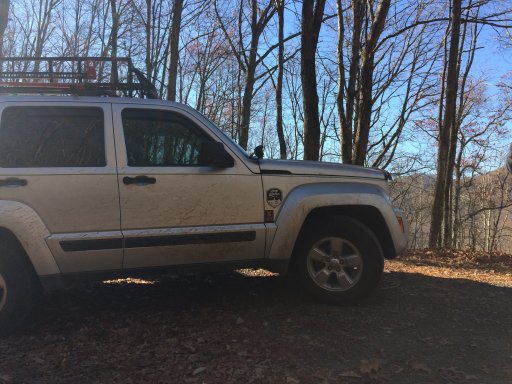 Talking to a park ranger during the past wild fire up there, camping is allowed but check for burn bans before making a camp fire. My trip up there was dry and dusty but the views were awesome and did get to take on a few obstacles. Also there is a little park on Caney Fork that has a rock with strange writing on it called the
Judaculla Rock it has some pretty cool stories behind it and would be worth stoping and seeing.
The town of Sylva is below the main WCU campus and has plenty of local food stops and pubs. The town is very calm and peaceful and hosts local stores and an outdoor outfitters. There is lodging in the town but the nightly rates are more costly during peak season in the winter.
https://www.google.com/maps/place/Caney+Fork+Rd,+Cullowhee,+NC+28723/@35.3105161,-83.1348168,13.43z/data=!4m5!3m4!1s0x88591283d97e8d55:0x73f6090bfeb58726!8m2!3d35.3124837!4d-83.0842422
https://www.google.com/maps/place/Moses+Creek+Rd,+Cullowhee,+NC+28723/@35.3115439,-83.1291292,17z/data=!3m1!4b1!4m5!3m4!1s0x885913b40dd10325:0x51993795e12b7cd5!8m2!3d35.3115439!4d-83.1269352
http://www.northcarolinaghosts.com/mountains/judaculla-rock.php
Talking to a park ranger during the past wild fire up there, camping is allowed but check for burn bans before making a camp fire. My trip up there was dry and dusty but the views were awesome and did get to take on a few obstacles. Also there is a little park on Caney Fork that has a rock with strange writing on it called the Judaculla Rock it has some pretty cool stories behind it and would be worth stoping and seeing.
The town of Sylva is below the main WCU campus and has plenty of local food stops and pubs. The town is very calm and peaceful and hosts local stores and an outdoor outfitters. There is lodging in the town but the nightly rates are more costly during peak season in the winter.
https://www.google.com/maps/place/Caney+Fork+Rd,+Cullowhee,+NC+28723/@35.3105161,-83.1348168,13.43z/data=!4m5!3m4!1s0x88591283d97e8d55:0x73f6090bfeb58726!8m2!3d35.3124837!4d-83.0842422
https://www.google.com/maps/place/Moses+Creek+Rd,+Cullowhee,+NC+28723/@35.3115439,-83.1291292,17z/data=!3m1!4b1!4m5!3m4!1s0x885913b40dd10325:0x51993795e12b7cd5!8m2!3d35.3115439!4d-83.1269352
http://www.northcarolinaghosts.com/mountains/judaculla-rock.php
Attachments
-
 3.6 MB Views: 52