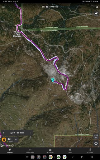
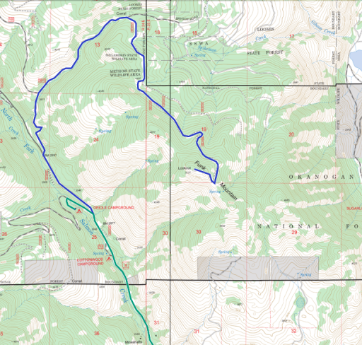
So looking at the recent imagery on OnX, snow levels are really good, looking like it's about 4500 ft, meaning to get to the very top of funk mountain we will encounter snow but it looks like it's only the last hundred yards or so. I'm going to plan on a solid attempt to summit, but know it may be shovel/ winch fest. Again it's only about a hundred yards it looks like so I don't think it'll be too bad. Worst case scenario we get out and walk.
Where we got stopped before on the scout was at 4000 ft and we may encounter some snow but I seriously doubt it will be more than a temporary impediment.
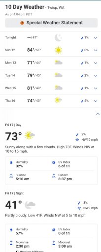
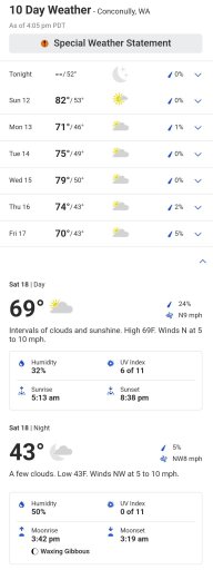
That being said, the next update for OnX recent imagery will be either the day we leave or after lol, so make sure you have downloaded the offline maps, and pack warm. I won't have my trailer, so won't have much room for wood (unless I can get my roof rack finished) so if anyone wants to stop by my place I can provide wood or please buy a bundle or two each if possible)