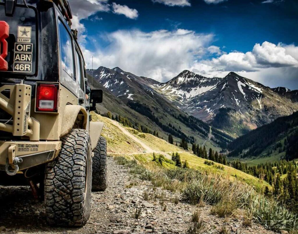
We advocate getting out of town in 20 minutes by always being prepared to go! Ever need a map as you are running out the door? Are yo tired of webmaps that are not formatted to print neatly from your printer?
National Geographic just did a HUGE favor for Overlanders everywhere by providing FREE Printable USGS PDF TOPO! Maps. The interactive website is a quick and easy way to download any 7.5 minute topo in a formatted PDF designed for your printer.
These are the same topos that were printed by USGS for decades on giant bus-sized presses but are now available in multi-page PDFs that can be printed just about anywhere. They are pre-packaged using the standard 7.5 minute, 1:24,000 base but with some twists:
Page 1 is an overview map showing the topo in context
Pages 2 through 5 are the standard USGS topo cut in quarters to fit on standard printers
Hillshading has been added to each page of the PDF to help visualize the topography
Navigation is easy from the interactive map, and displays Quad markers at the appropriate level of zoom. A simple search bar allows you to search by both address and Quad Name to locate your destination quickly. If you can use Google Maps, You can use the Nat Geo Topo! Map printer.
We’ll be using this in conjunction with our trip planner to have all trip information and planning detail at the ready! You can jump to the Nat Geo Topo! Map Printer by clicking the button below!Nat Geo Topo Printer
Ya might want to remove *Just* from that title, [USER=1]@Michael[/USER]
National Geographic Free and Printable USGS PDF Quads
n00b… 🙂
[QUOTE="Steve, post: 91368, member: 6"]Ya might want to remove *Just* from that title, [USER=1]@Michael[/USER]
National Geographic Free and Printable USGS PDF Quads
n00b… :)[/QUOTE]
Done. Totally thought it was a new thing!
I am going to have to learn to read maps… Minutes and quadrangles… Must define so many words!
This is awesome and a huge thanks to Nat Geo. Now you don’t have to go digging through archives to get this info or know people who work w/ Power Company Land Acquisition departments. (Growing up my uncle had tons of Topos for Mid to North GA from working for GA Power/Southern Company)