Enthusiast I
- 404
- First Name
- Dan
- Last Name
- DeLoach
- Member #
-
29245
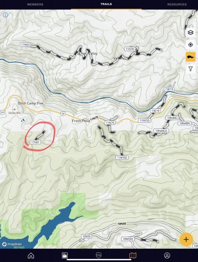
I’ve been looking around on the map and found the trail heading, but have a few questions. I am trying to figure out what the rectangle with the numbers are? I select them and nothing happens. I assume the black and white lines are the trails. Circled in red. Is there a method that list the difficulty of the trails?