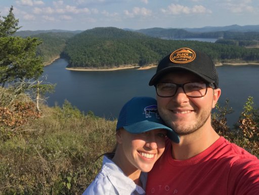
With this cooler weather down south, the wife and I are heading into the Broken Bow/Beavers Bend area of Oklahoma.
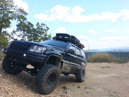
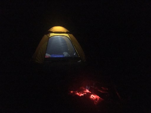
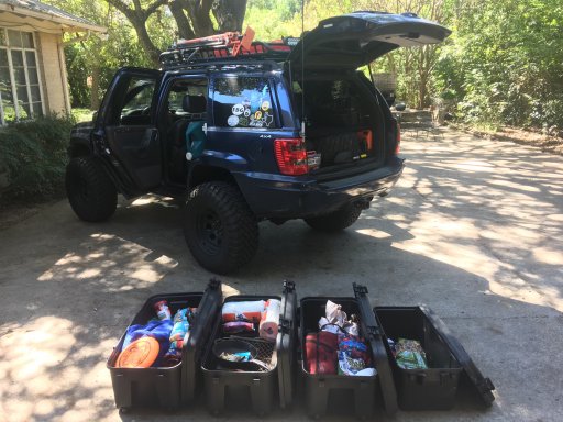
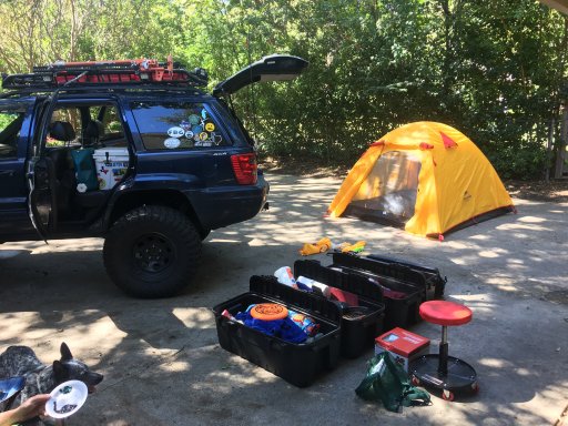
Last weekend, I spent some time going through and reorganizing our gear and working through the checklist. We ordered a new tent this year, to try and get away from the large cumbersome Coleman Montana that we were using. Having a large tent has its pros and cons, but unfortunately for us, weight and space is takes priority. After repacking everything, I was able to condense our things into three of our Plano Sportsman containers (kitchen, sleeping, dry goods). By leaving the Colman tent behind, I lightened the load by 35lbs.
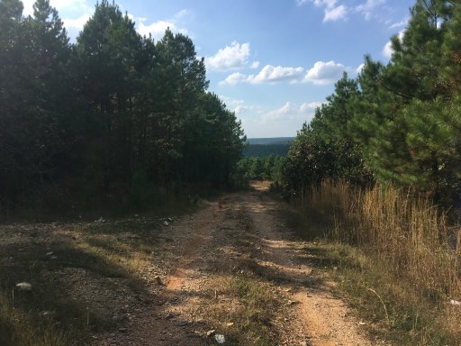
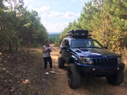
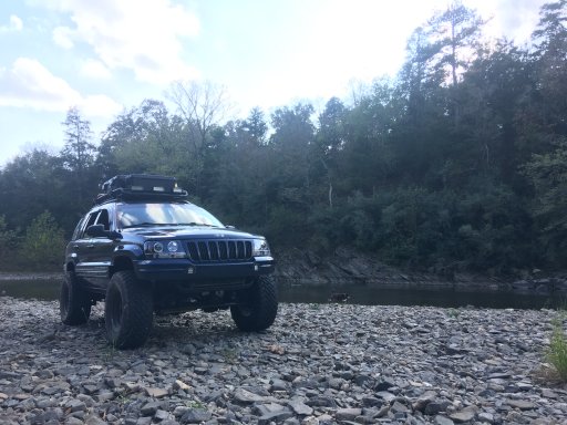
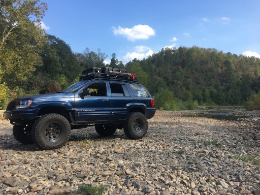
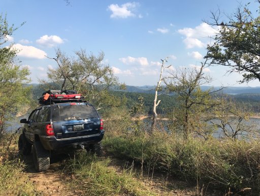
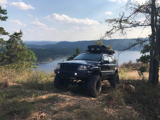
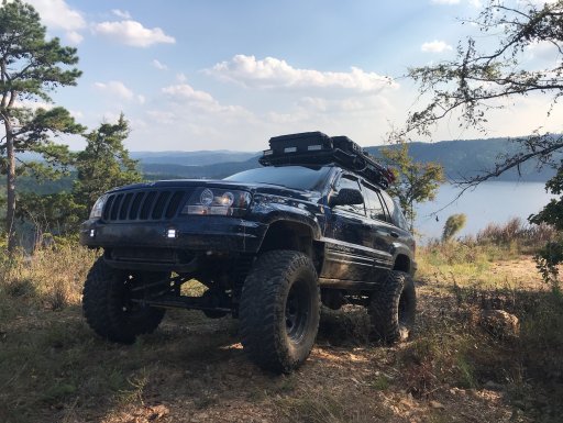
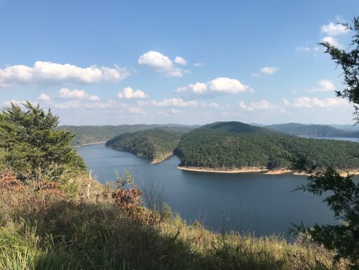
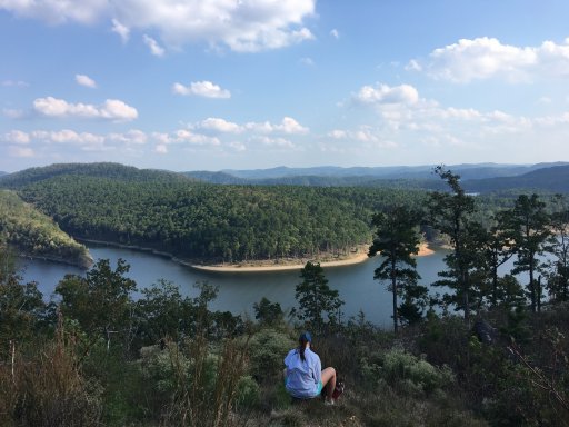
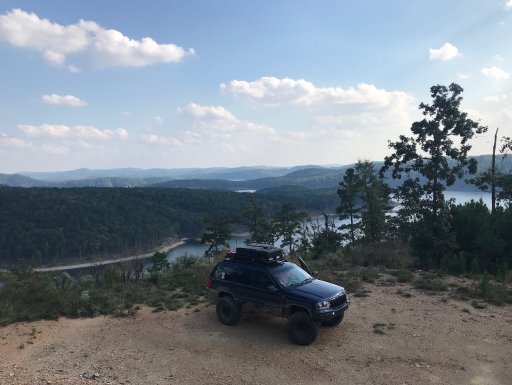
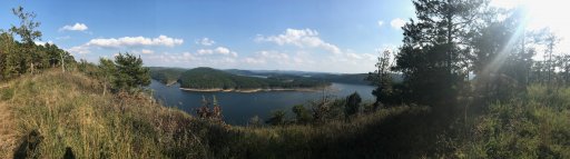
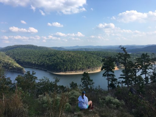
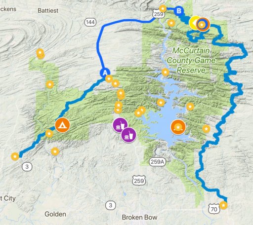
As far as the trip itself goes, I’ve spent little time in this section of the Ouachita National Forest, but was able to use simple 3D mapping to acquire a general route, with three or four water crossings. The total mileage of unpaved travel is approximately 110 miles. That’s if the track I have saved has no closures and isn’t marked as private property. Either way, there are miles and miles of backroads that should take us through a scenic adventure in the woods.
Is anyone familiar with the with area or planning on being around throughout the weekend?
Sent from my iPhone using OB Talk
Last weekend, I spent some time going through and reorganizing our gear and working through the checklist. We ordered a new tent this year, to try and get away from the large cumbersome Coleman Montana that we were using. Having a large tent has its pros and cons, but unfortunately for us, weight and space is takes priority. After repacking everything, I was able to condense our things into three of our Plano Sportsman containers (kitchen, sleeping, dry goods). By leaving the Colman tent behind, I lightened the load by 35lbs.
As far as the trip itself goes, I’ve spent little time in this section of the Ouachita National Forest, but was able to use simple 3D mapping to acquire a general route, with three or four water crossings. The total mileage of unpaved travel is approximately 110 miles. That’s if the track I have saved has no closures and isn’t marked as private property. Either way, there are miles and miles of backroads that should take us through a scenic adventure in the woods.
Is anyone familiar with the with area or planning on being around throughout the weekend?
Sent from my iPhone using OB Talk