The route that I used was 72 miles in length, which encompasses Usal Beach to Shelter Cove, up to Honeydew, and inland to Humboldt Redwoods State Park. I don't know that there is a a "Lost Coast Trail" per se, but I'd consider Usal Beach up to Honeydew as part of the Lost Coast. One could turn westward at Honeydew on Mattole Road toward the water again, via the town of Petrolia (this would be whole another adventure, I think), but we headed eastward instead for our third night, camping in HRSP. I've attached a GAIA link to my entire route, from Usal Beach to HRSP, below.
https://www.gaiagps.com/public/FSLVKzUdNYmckfQ1Lcg7NUoJ
Before I describe the route, here are the roads, one morphing into another as we cross county lines and whatnot:
Usal Road -> Chemise Mountain Road -> Shelter Cove Road -> Kings Peak Road -> Wilder Ridge Road -> Mattole Road
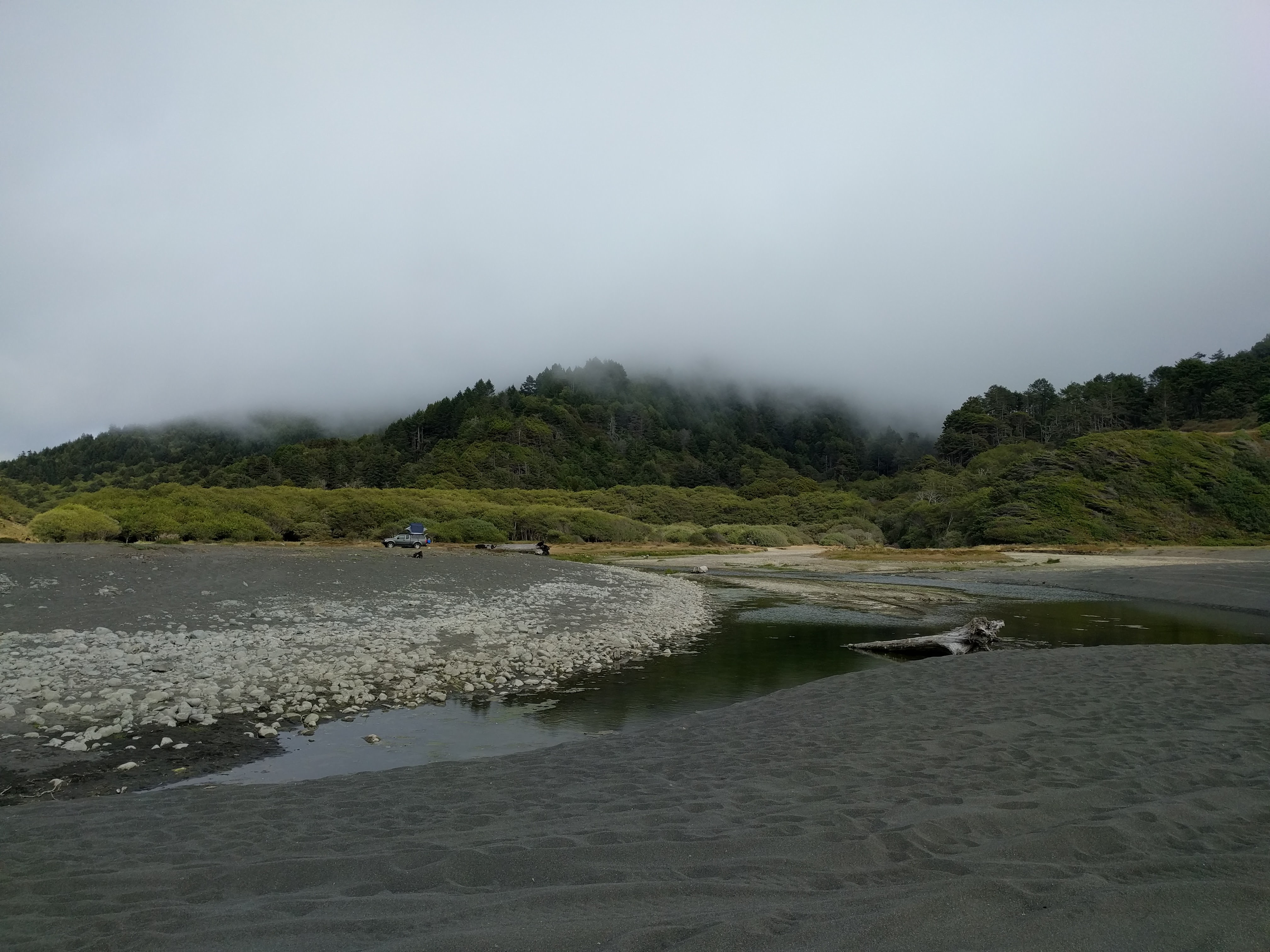
We live in Santa Cruz, so the first day was full of driving to arrive at Usal Beach in time to set up and camp. We took Hwy. 101 NB to Leggett, then turned left onto Hwy 1 SW to arrive at the trail-head (Usal Road) - this is a very small turn off, so don't miss it (I did, and had to make a u-turn)! From the trail-head, it's an easy 30 minutes or so of dirt road to Usal Beach. One can elect to camp among the bushes by the beach, on sand just off of the beach, or right on the beach itself (don't get stuck having fun in the sand!). It got pretty windy (AND RAINY) at night for us as we camped just inside of the beach, so secure your tent properly beforehand. The beach is pretty big, and we had plenty of time and space to explore. Don't miss the torched Bronco that seemingly got stuck in the sand in the '80s, and someone took a match to it. We broke camp the next morning and headed for Shelter Cove via more of Usal Road, which turns into Chemise Mountain Road. There is a good lunch rest stop along the way, Needle Rock Visitor Center, where we chatted up the host about wild life in the area. A trail continues south of the Center toward some seemingly-awesome water-side campgrounds, but the road was closed when we were there, so we had no access - this could be where you spend your second night if accessible. Call the visitor center to check, if there's a phone number. The map shows various tent sites and campgrounds along Usal and Chemise Mtn. Roads, but I wasn't looking hard enough for them, so didn't really see anything obvious for camping. We continued on to Shelter Cove, where we spent the second night at Inn Of The Lost Coast - a nice hotel with a small pizzeria downstairs. Shelter Cove is a decent-sized town, but other than gas and a lighthouse, there wasn't much going on, so we continued on the third day toward Humboldt Redwoods State Park. Just outside the town of Shelter Cove, we turned left onto Kings Peak Road, a dirt road that went on a for quite a while; this turned into Wilder Ridge Road, which led us to the very-small town of Honeydew. I believe that the road was paved by this point, so we aired back up and drove to the State Park for a last night of camping before heading home on Day 4.
Road conditions were "excellent dirt" throughout, with lots of pine needles on the ground and not much dust, since traffic was sparse north of Usal Beach. Air down a bit to 20 psi or so and you should be comfortable. The roads were mere dirt roads with some twisty turns, and a Subaru would have done just fine. Hope this helps!